Marble Falls, Texas
Looking for the best fishing in Marble Falls? We've got you covered with the top trails, trips, hiking, backpacking, camping and more around Marble Falls. The detailed guides, photos, and reviews are all submitted by the Outbound community.
Top Fishing Spots in and near Marble Falls
-
Burnet, Texas
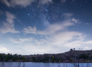
Hike the Inks Lake State Park Trail
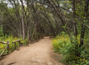
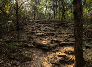
4.04.7 mi / 347 ft gainThe Inks Lake State Park Trail is a 4.7 mile loop trail located within Inks Lake State Park, just outside of Burnet, Texas. Only a small portion of the trail follows the lake, then it veers off through the rocky and hilly terrain of the Texas Hill Country. The trail is only partially shaded at ti...Read more -
Johnson City, Texas
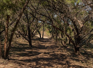
Hike the Wolf Mountain Trail
7.4 mi / 416 ft gainThe Wolf Mountain Trail is a 7.2 mile loop hike within Pedernales Falls State Park, right outside of Johnson City, Texas. The trail is pretty wide and great for all sorts of exercising and social distancing. The trail is relatively moderate and well maintained. There is little shade but it is st...Read more -
Llano, Texas
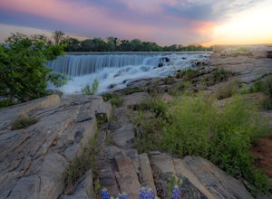
Catch a Sunset at Badu Park
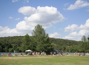
Located in the small but fun town of Llano, Texas, Badu Park is a great location for catching a sunset, fishing, picnicking, or just plain chilling. This location is located about an hour and a half west of Austin, Texas (75 miles) but is well worth the drive for a day trip! The dam is a popular...Read more -
Liberty Hill, Texas
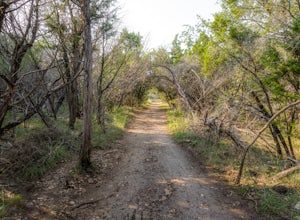
Hike the Good Water Trail
5.012.6 mi / 1270 ft gainThe Good Water Trail which is part of the larger Good Water Loop, is a 12.6 mile point-to-point hike. This trail is heavily trafficked by both hikers and mountain bikers alike. It's a great trail for scenic views, nature, and wildlife. Please be advised that the trail is severely rocky and uneven...Read more -
Austin, Texas
Swim and Relax at Common's Ford Ranch
3.0Commons Ford is a lakefront park offering a boathouse that can be reserved, fishing, volleyball net and picnicking. Many people go to the park with the expectation of lounging on the large grassy area for many hours so be sure to pack food, blankets, sunscreen, and tubes if you plan to float in ...Read more -
Austin, Texas
Turkey Creek Trail
2.72 mi / 259 ft gainTurkey Creek trail is a 2.7 mile out-and-back hike located within Emma Long Metropolitan Park in Northwest Austin, Texas. This trail is perfect for cycling, running, walking, and general exercise. The trail is made of dirt with few inclines. Please note, however, at the beginning of the trail the...Read more -
Austin, Texas
St. Edwards Green and Red Loop
2.8 mi / 328 ft gainSt. Edwards Green and Red Loop is a 2.7 mile loop hike located in northwest, Austin, Texas. The trail is heavily trafficked, but has a great nature scene, including a multitude of bird species and wildflowers. Bull creek flows through the trail, creating a waterfall at one point which makes for a...Read more -
Georgetown, Texas
Hike Good Water Trail Loop From Cedar Breaks
10.1 mi / 688 ft gainThe Good Water Trail Loop from Cedar Breaks is a 10.1 mile loop hike that begins within Cedar Breaks Park, just northeast of Georgetown, Texas. The trail is heavily trafficked and even more so on weekends. There are several inclines and declines, but nothing too significant. The trail has rough t...Read more -
Georgetown, Texas
Hike the San Gabriel River Trail
7.6 mi / 498 ft gainThe San Gabriel River trailhead is found within Cedar Breaks Park, just northeast of Georgetown, Texas. The trail is a 7.6 mile moderate out-and-back trail. The trail is heavily trafficked and even more so on weekends. There are several inclines and declines, but nothing too significant. The trai...Read more -
Austin, Texas
Bull Creek South to North
3.67 mi / 335 ft gainThe Bull Creek Trail is an Out-and-Back trail along Bull Creek; it's a pretty beginner to intermediate hike. The trail follows along Bull Creek which runs between the hills of the Austin Hill Country. There are several waterfalls which can be found along the creek. The trail has multiple access p...Read more -
Austin, Texas
Hike Hill of Life Hiking Trail
4.53.1 mi / 328 ft gainThe Hill of Life hiking trail is an out-and-back hiking trail around 3 miles long total. Parking is parallel parking on the street and can be found in the neighborhood where the trailhead is located. The trail begins with a half mile descent down a very rocky and gravel-ridden trail. The descent ...Read more -
Austin, Texas
Take a Stroll around Red Bud Isle
1 mi / 0 ft gainThis small isle is a nice feature of the section of the Colorado River that flows through Austin. The isle is pretty small and is a good scenic location for a quick 1-2 hour outing. All the trails are pretty flat and easy to walk. Definitely worth checking out if you are looking for a nice park i...Read more -
Austin, Texas
Twin Falls and Sculpture Falls via Barton Creek Greenbelt Trail
3.03.23 mi / 141 ft gainThis hike is about 3.2 miles in total and is an out-and-back trail found within the Barton Creek Greenbelt stretch. The trail follows along the Barton Creek and is popularly known for the two major waterfalls it entails: Twin Falls and Sculpture Falls, which are very popular swimming destinations...Read more -
Travis County, Texas
Hike Violet Crown Trail: Zilker to 360 Trailhead
3.03.7 mi / 282 ft gainThe Violet Crown Trail: Zilker to 360 is 3.7 mile out-and-back stretch through the Barton Creek Greenbelt. The trail begins in Zilker Park and follows Barton Creek all the way south to Loop 360. Parking can be found at Zilker Park. Though on weekends and during the summer time, the park is usuall...Read more -
Austin, Texas
Swim at Gus Fruh
4.00.26 mi / 79 ft gainThe trailheads are located in neighborhoods and parking isn't really too much of an issue. The shortest entrance is located off Barton Hills Dr. A quick google search and you will find it and the labeled trail. You walk down into the Barton Creek Green Belt and your spirits are uplifted. That cra...Read more -
Barton Creek Greenbelt: Trail 11, Texas
Barton Creek Greenbelt Trail via Spyglass Trailhead
5.03.03 mi / 128 ft gainOutside of the fantastic job market, one of the most magical things about Austin is how quickly you can go from city life to being immersed in nature. Nearly every day, I take a quick jaunt down to the Barton Creek Greenbelt with my trusty companion, Sage the Chocolate Lab. We live within walking...Read more

