Johnson City, Texas
Looking for the best cycling in Johnson City? We've got you covered with the top trails, trips, hiking, backpacking, camping and more around Johnson City. The detailed guides, photos, and reviews are all submitted by the Outbound community.
Top Cycling Spots in and near Johnson City
-
Johnson City, Texas
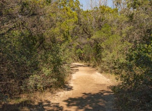
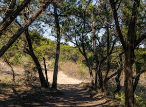
Hike Wolf Mountain And Juniper Ridge Trail Loop
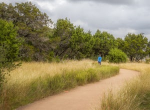
11.2 mi / 472 ft gainWolf Mountain and Juniper Ridge Trail Loop is a 11.2 mile loop hike within Pedernales Falls State Park, right outside of Johnson City, Texas. The trail is pretty wide and great for all sorts of exercising and social distancing. The trail is relatively moderate and well maintained. There is littl...Read more -
Johnson City, Texas
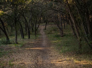
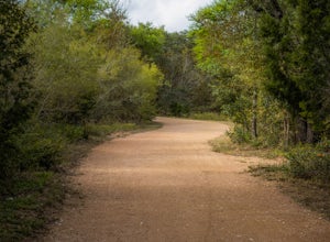
Hike Wolf Mountain, Juniper Ridge And South Loop Equestrian Trail
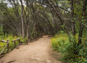
6.6 mi / 374 ft gainThe Wolf Mountain, Juniper Ridge and South Loop Equestrian Trail is a 6.6 mile loop hike within Pedernales Falls State Park, right outside of Johnson City, Texas. The trail is pretty wide and great for all sorts of exercising and social distancing. The trail is relatively moderate, with few incl...Read more -
Lakeway, Texas
Hike Hamilton Greenbelt
5.1 mi / 374 ft gainThe Hamilton Greenbelt is a 5.1 mile out-and-back neighborhood hike located in Lakeway, just 15 miles outside of downtown Austin. The trail is located in a neighborhood and is extremely well-maintained. At the entrance of the trail you will find a little garden area with a small waterfall and a s...Read more -
Austin, Texas
Hike the Western Oaks Trail
1.74 mi / 49 ft gainThe Western Oaks Trail is a 1.7 mile trail located in the Legend Oaks neighborhood in Southwest Austin, Texas. The trail is looping however there are several interconnecting trails which can shorten or lengthen the duration of the hike. The trail is mostly flat and made of crushed gravel. It is p...Read more -
Austin, Texas
Take a Stroll on the Dick Nichols Park Trail
1.09 mi / 16 ft gainThe Dick Nichols Park Trail is a 1 mile loop neighborhood park trail located in Southwest Austin. The trail is completely flat and is entirely paved. It circles the park and is equally shaded and exposed. It's very kid-friendly and perfect for walking the dog, biking, trail running, hiking, and e...Read more -
Austin, Texas
Hike the Little Fern Trail
0.5 mi / 140 ft gainThe Little Fern Trail is a 1.9 mile out-and-back hike that is a part of the River Place Nature Trail. It is perfect for hiking, walking, running, and biking. The trail is open for use year-round and is easy to follow, with lots of small, side waterfalls and lush greenery scattered along. The tree...Read more -
Austin, Texas
Turkey Creek Trail
2.72 mi / 259 ft gainTurkey Creek trail is a 2.7 mile out-and-back hike located within Emma Long Metropolitan Park in Northwest Austin, Texas. This trail is perfect for cycling, running, walking, and general exercise. The trail is made of dirt with few inclines. Please note, however, at the beginning of the trail the...Read more -
Austin, Texas
Stephenson Preserve Loop
2.17 mi / 243 ft gainThe Stevenson Preserve Trail is a 1.5 mile loop hike located in South Austin. The outer trail makes a large loop around the entire park, however there are several interconnecting trails within the loop. This trail system is part of the Stephenson Preserve, which is also connected to the Longview ...Read more -
Travis County, Texas
Hike Violet Crown Trail: Zilker to 360 Trailhead
3.03.7 mi / 282 ft gainThe Violet Crown Trail: Zilker to 360 is 3.7 mile out-and-back stretch through the Barton Creek Greenbelt. The trail begins in Zilker Park and follows Barton Creek all the way south to Loop 360. Parking can be found at Zilker Park. Though on weekends and during the summer time, the park is usuall...Read more -
Austin, Texas
Twin Falls and Sculpture Falls via Barton Creek Greenbelt Trail
3.03.23 mi / 141 ft gainThis hike is about 3.2 miles in total and is an out-and-back trail found within the Barton Creek Greenbelt stretch. The trail follows along the Barton Creek and is popularly known for the two major waterfalls it entails: Twin Falls and Sculpture Falls, which are very popular swimming destinations...Read more -
Austin, Texas
Hike the Violet Crown Trail: 360 to 290 Trailhead
1.8 mi / 239 ft gainThe Violet Crown Trail: 360 Trailhead to 290 trail is a 1.8 mile point-to-point hike that stretches from Loop 360 to Highway 290. Only a portion of the trail follows alongside Barton Creek before heading south towards HWY 290 while the creek veers off to the west. Dogs are more than welcome as lo...Read more -
Austin, Texas
Hike Barton Greenbelt Trail Via Barton Creek Plaza
6.6 mi / 380 ft gainThe Barton Greenbelt Trail via Barton Creek Plaza is a 6.6 mile out-and-back hike located within the Barton Creek Greenbelt. This trail follows along the creek and features a couple prominent waterfalls that also serve as popular swimming holes in the summer months. Depending on the rainfall for ...Read more -
San Marcos, Texas
Hike Dante's Trail And Backend Loop
2.5 mi / 213 ft gainThe Dante's Trail and Backend Loop is a 2.5 mile loop hike located within the Purgatory Creek Greenspace area just south of San Marcos, Texas. This particular section of the Greenspace is made of flattened crushed gravel and is mostly shaded. The trail is very well maintained and several benches ...Read more -
San Marcos, Texas
Hike Purgatory Creek Overlook Via Dante's Trail
2.8 mi / 209 ft gainThe Purgatory Creek Overlook via Dante's Trail is a 2.8 mile out-and-back hike located within the Purgatory Creek Greenspace area just south of San Marcos, Texas. This particular section of the Greenspace is made of flattened crushed gravel and is mostly shaded. The trail is very well maintained ...Read more -
Austin, Texas
Bull Creek South to North
3.67 mi / 335 ft gainThe Bull Creek Trail is an Out-and-Back trail along Bull Creek; it's a pretty beginner to intermediate hike. The trail follows along Bull Creek which runs between the hills of the Austin Hill Country. There are several waterfalls which can be found along the creek. The trail has multiple access p...Read more -
Austin, Texas
Hike Valburn South Loop
1.02.3 mi / 334 ft gainThe Valburn South Loop is a 2.3 mile loop trail within the Bull Creek Greenbelt in Northwest Austin, Texas. The trail is known for its grand views of the surrounding Hill Country. The trail is shaded for the most part and is pretty rocky, good shoes are highly recommended. The trail is made up of...Read more

