Johnson City, Texas
Looking for the best hiking in Johnson City? We've got you covered with the top trails, trips, hiking, backpacking, camping and more around Johnson City. The detailed guides, photos, and reviews are all submitted by the Outbound community.
Top Hiking Spots in and near Johnson City
-
Johnson City, Texas
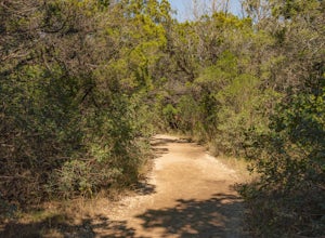
Hike Wolf Mountain And Juniper Ridge Trail Loop
11.2 mi / 472 ft gainWolf Mountain and Juniper Ridge Trail Loop is a 11.2 mile loop hike within Pedernales Falls State Park, right outside of Johnson City, Texas. The trail is pretty wide and great for all sorts of exercising and social distancing. The trail is relatively moderate and well maintained. There is littl...Read more -
Johnson City, Texas
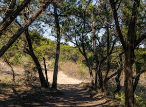
Hike Wolf Mountain, Juniper Ridge And South Loop Equestrian Trail
6.6 mi / 374 ft gainThe Wolf Mountain, Juniper Ridge and South Loop Equestrian Trail is a 6.6 mile loop hike within Pedernales Falls State Park, right outside of Johnson City, Texas. The trail is pretty wide and great for all sorts of exercising and social distancing. The trail is relatively moderate, with few incl...Read more -
Johnson City, Texas
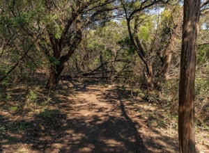
Hike Juniper Spring Via Wolf Mountain And Juniper Ridge
8.4 mi / 462 ft gainJuniper Spring via Wolf Mountain and Juniper Ridge is a 8.4 mile loop hike within Pedernales Falls State Park, right outside of Johnson City, Texas. This trail is moderately trafficked. The trail is pretty wide and great for all sorts of exercising and social distancing. The trail is relatively ...Read more -
Johnson City, Texas
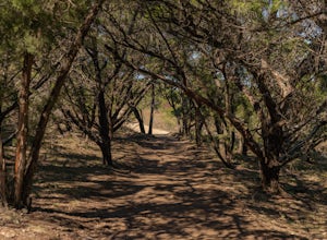
Hike the Wolf Mountain Trail
7.4 mi / 416 ft gainThe Wolf Mountain Trail is a 7.2 mile loop hike within Pedernales Falls State Park, right outside of Johnson City, Texas. The trail is pretty wide and great for all sorts of exercising and social distancing. The trail is relatively moderate and well maintained. There is little shade but it is st...Read more -
Round Mountain, Texas
Twin Falls Nature Trail at Pedernales Falls State Park
0.51 mi / 75 ft gainTwin Falls Nature Trail is a half mile loop trail located within Pedernales Falls State Park between Dripping Springs and Johnson, City, Texas. The trail head is located near the campgrounds and parking can be found near the bathrooms. It is an easy trail with a very slight descent. The trail its...Read more -
Johnson City, Texas
Explore Pedernales Falls
4.80.6 mi / 104 ft gainPedernales Falls drops 50 feet in elevation over 3,000 feet of titled, layered steps of limestone along the Pedernales River in Blanco County. In order to reach the falls you must enter Pedernales Falls State Park and follow the park road until the very end. There you'll find a parking lot and it...Read more -
Round Mountain, Texas
Explore Westcave Outdoor Discovery Center
0.7 mi / 80 ft gainLocated about 25 miles from downtown Austin, Westcave Preserve is a beautiful and family-friendly day adventure. The trail is out-and-back about .7 miles long. It leads down into a very lush green canyon filled with a variety of plant species and ferns. At the end of the trail is the main feature...Read more -
Marble Falls, Texas
Camp at Shaffer Bend Recreation Area
6 mi / 80 ft gainAfter turning off Highway 1431 you'll drive through a little quiet and narrow one road neighborhood to arrive at the entrance to Shaffer Bend Recreation Area. From there you will drive down a dirt road which will take you almost all the way through Shaffer Bend's 523 acre lot, and lead you direct...Read more -
Spicewood, Texas
Hike through Muleshoe Bend Recreation Area
5.05.4 mi / 365 ft gainSpend all day wandering the endless fields of bluebonnets above the banks of the Colorado River in this hill country oasis. MuleshoeBend Recreation Area is just 50 minutes outside of Austin in Spicewood, TX. It has 540 acres of trails, camping, and picnic tables. The highlight of this park is the...Read more -
Spicewood, Texas
Camp at Pace Bend Park
4.4Pace Bend is a favorite camping and day use destination near Austin, Texas. The park is approximately 45 minutes West of Austin located off of Hwy 71 and offers visitors a wide range of recreational activities. There is an entrance fee of $10 per vehicle for Day Use only and $15 per vehicle for p...Read more -
Spicewood, Texas
Climb at Pace Bend Park
The "must have" campsite is along Marshall Cove in Pace Bend Park. From the park's entrance head straight along the road and take the 3rd left onto the Marshall Cove turnout. The sites are not numbered, but locating the site is pretty easy--it's on the left-hand side of the the road along the edg...Read more -
Wimberley, Texas
Old Baldy Trail
0.17 mi / 92 ft gainOld Baldy Trail is a 0.2 mile out-and-back trail located between FM 2325 and FM 12 in Wimberley, Texas. The trail leads to the summit of a large hill with an overlook of the town and its surrounding area. It's a great location for a picnic or to just hang out and definitely worth the effort. Fa...Read more -
Lakeway, Texas
Hike Hamilton Greenbelt
5.1 mi / 374 ft gainThe Hamilton Greenbelt is a 5.1 mile out-and-back neighborhood hike located in Lakeway, just 15 miles outside of downtown Austin. The trail is located in a neighborhood and is extremely well-maintained. At the entrance of the trail you will find a little garden area with a small waterfall and a s...Read more -
Burnet, Texas
Tour the Longhorn Caverns
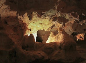
5.01.1 miThe Longhorn Cavern State Park is a hidden gem in the Hill Country. The caverns are breathtaking and some of the walls are completely covered in Quartz. During prohibition, bootleggers used the caverns as a speakeasy and there are remnants left from that era. In order to view the Caverns you must...Read more -
Fredericksburg, Texas
Enchanted Rock Summit Trail
5.01.27 mi / 400 ft gainEnchanted Rock Summit Trail is an out-and-back hike that offers expansive views in Hill Country from the 1823ft summit of Enchanted Rock located near Llano, TX. Keep in mind that this trail can get crowded on holidays and weekends. The park closes to visitors if it's overcrowded, so be sure to ma...Read more -
Fredericksburg, Texas
Turkey Peak via Turkey Pass Trail
4.01.19 mi / 184 ft gainThere isn't an official trail to Turkey Peak, but it is one of the best views in the park. This is no easy climb, so be prepared to be sweating! From the parking lot head towards the Gazebo. From there begins the Summit Trail that leads to the top of Enchanted Rock, but you want to stay right, t...Read more

