Green Lane, Pennsylvania
Looking for the best photography in Green Lane? We've got you covered with the top trails, trips, hiking, backpacking, camping and more around Green Lane. The detailed guides, photos, and reviews are all submitted by the Outbound community.
Top Photography Spots in and near Green Lane
-
Collegeville, Pennsylvania
Skippack Creek Loop
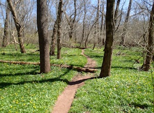
4.07.25 mi / 377 ft gainThe Skippack Creek Trail in Evansburg State Park was one of my favorites on this most recent trip. Any chance I can hike a trail alongside a river, I take advantage of it. The trail starts on the south side of Skippack Creek at a parking area on Kratz Road. It was early in the morning and the wea...Read more -
Doylestown, Pennsylvania
Photograph the Peace Valley Lavender Fields
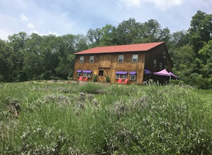
4.0Capture the beautiful barn house shop on a farm while taking in the wonderful scent of lavender. Peace Valley Lavender Farm is open during the day and sells a plethora of lavender products from soaps to eats. Pull into the driveway and park behind the barn house for free. It's a wonderful spot f...Read more -
Doylestown, Pennsylvania
Birdwatch at Peace Valley Park
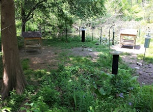
The feeder area is located in Peace Valley Park, tucked right behind the Peace Valley Nature Center. Here is where you'll find many unique smaller species. The shelter is covered and has several benches to relax on as you watch and photograph many varieties of birds. I've seen many blue jays and ...Read more -
Malvern, Pennsylvania
Hike Valley Forge
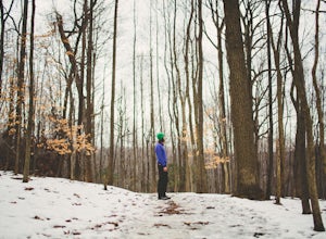
3.92.5 miThere are many trails to choose from on Mt. Misery and a good place to start is at the parking lot located at the intersection of Yellow Springs Road and Library Lane (off of the main Valley Creek Road).The Mt. Misery Trail starts there, heads up through the trees about 0.75 miles and meets up wi...Read more -
Birdsboro, Pennsylvania
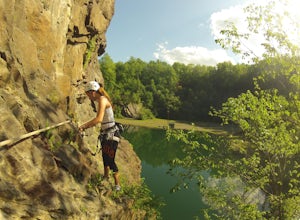
Climb at Birdsboro Quarry
To get there follow back roads to the parking lot that is tagged in the description. From here, follow the trail/road paralleling Hay Creek until you reach a few large buildings. There is an obvious sign here on the regulations of the area. Do not go through the fence to the right and instead ...Read more -
Tinicum Township, Pennsylvania
Hike the High Rocks State Park Loop
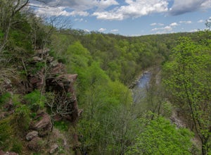
4.61.5 miHigh Rocks State Park, a section of Ralph Stover State Park, offers visitors some of the best views in Eastern Pennsylvania. Across from the parking lot on Tory Road, you will find the main trailhead. This will lead you to several different trail options, all varying in length, and all bringing y...Read more -
Philadelphia, Pennsylvania
Hike to the Thomas Mill Covered Bridge
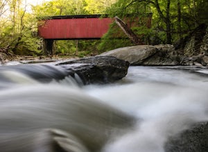
1 miBuilt in 1855, the Thomas Mill Covered Bridge is an 85 foot long Howe-truss bridge located about 1/2 mile from the nearest road in Wissahickon Valley Park. Hiking to the bridge is easy and there are two routes to choose from. Start at either of the parking areas on Bells Mill Road. You can either...Read more -
Stockton, New Jersey
Explore Kugler Woods Waterfall
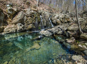
4.00.5 miDrive 5.2 miles north on Route 29 from the center of Stockton, NJ and you will come across a very small parking lot on the left side of the road. If you park your car there, walk back south on Route 29 about 50 feet, and cross over to the woods-side of the road. There you will find the trailhea...Read more -
Frenchtown, New Jersey
Hike to the Devil's Tea Table
3.00.5 mi / 20 ft gainApart from the rock, there's more trail to follow for a stunning overview and a great spot to hang out and relax. The view is a must-see, it is so much better in person. The hike is not challenging at all, it is basically a straight trail. Climbing some medium sized rocks might be required, but i...Read more -
Stockton, New Jersey
Hike to the Hidden Lockatong Waterfall
3.72 miIf you're on Kingwood Stockton Road, there will be a dirt road with a Lockatong Nature Preserve sign before it (going north on Kingwood Stockton Road, the sign will be on your left. If you're driving south, the sign will be on your right). Just drive all the way until the end of the dirt road and...Read more -
Glen Mills, Pennsylvania
Hike the White Trail in Ridley Creek State Park
2.55 mi / 450 ft gainThe white trail is the only true loop hike in the park. Strangely enough, it has no official trailhead. You can gain access to the trail from either Pavilion/picnic are #9 or Pavilion/picnic area #16. I chose picnic area #9 and hiked in a clockwise direction. This section starts very close to and...Read more -
New Hope, Pennsylvania
Visit Bowman’s Hill Tower
4.0Right off of River Road (Rt. 32), Bowman's Hill is one of the best views in Bucks County. When driving on River Road, you will see a sign for Bowman's Tower that leads to the top, where there is an ample amount of parking. From there, walk a short distance and then climb the tower for the view. ...Read more -
Lambertville, New Jersey
Hike the Goat Hill Overlook
1 miHike a short and easy path up a hill to the Goat Hill Overlook where you'll have a wonderful view of the Delaware River and New Hope, PA. Put 'Goat Hill Overlook' into your maps and you will be led right to the trailhead where you can easily park in the gravel parking lot or on the side of the pa...Read more -
Lambertville, New Jersey
Mountain Bike Dry Run Creek Trail
1 miThis short trail runs alongside a small creek, and is a perfect spot for mountain biking and running. There is a small parking lot right at the trailhead, making this spot very convenient to access. It is not a very challenging ride, although there are a few ruts that can be messy if it has recen...Read more -
Jim Thorpe, Pennsylvania
Hike to Bake Oven Knob
5.00.76 miThe trail is VERY rocky and stepping up the rocks requires proper footwear. From the beginning of the trail, hike until you reach an opening filled with rocks and boulders. Stay to the left of this and you will see the unmarked trail continue. After climbing up this, there is an overlook to the N...Read more -
Hopewell Township, New Jersey
Hike the Baldpate Mountain Loop
5.01.25 miThe parking lot on Pleasant Valley Road provides access to the trailhead for this 1.25 mile loop hike.Starting at the trailhead, take the Ridge Trail (white) going West. The ridge trail is wide and flat, and branches off to many other smaller trails throughout the preserve.After about 0.25 miles...Read more

