Green Lane, Pennsylvania
Looking for the best chillin in Green Lane? We've got you covered with the top trails, trips, hiking, backpacking, camping and more around Green Lane. The detailed guides, photos, and reviews are all submitted by the Outbound community.
Top Chillin Spots in and near Green Lane
-
Doylestown, Pennsylvania
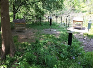
Birdwatch at Peace Valley Park
The feeder area is located in Peace Valley Park, tucked right behind the Peace Valley Nature Center. Here is where you'll find many unique smaller species. The shelter is covered and has several benches to relax on as you watch and photograph many varieties of birds. I've seen many blue jays and ...Read more -
Malvern, Pennsylvania
Hike Valley Forge
3.92.5 miThere are many trails to choose from on Mt. Misery and a good place to start is at the parking lot located at the intersection of Yellow Springs Road and Library Lane (off of the main Valley Creek Road).The Mt. Misery Trail starts there, heads up through the trees about 0.75 miles and meets up wi...Read more -
Birdsboro, Pennsylvania
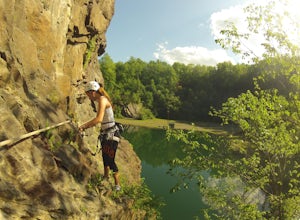
Climb at Birdsboro Quarry
To get there follow back roads to the parking lot that is tagged in the description. From here, follow the trail/road paralleling Hay Creek until you reach a few large buildings. There is an obvious sign here on the regulations of the area. Do not go through the fence to the right and instead ...Read more -
Tinicum Township, Pennsylvania
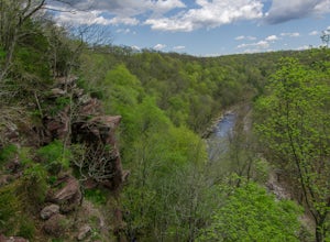
Hike the High Rocks State Park Loop
4.61.5 miHigh Rocks State Park, a section of Ralph Stover State Park, offers visitors some of the best views in Eastern Pennsylvania. Across from the parking lot on Tory Road, you will find the main trailhead. This will lead you to several different trail options, all varying in length, and all bringing y...Read more -
Philadelphia, Pennsylvania
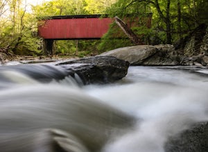
Hike to the Thomas Mill Covered Bridge
1 miBuilt in 1855, the Thomas Mill Covered Bridge is an 85 foot long Howe-truss bridge located about 1/2 mile from the nearest road in Wissahickon Valley Park. Hiking to the bridge is easy and there are two routes to choose from. Start at either of the parking areas on Bells Mill Road. You can either...Read more -
Stockton, New Jersey
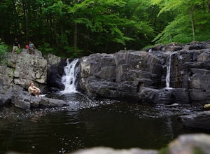
Hike to the Hidden Lockatong Waterfall
3.72 miIf you're on Kingwood Stockton Road, there will be a dirt road with a Lockatong Nature Preserve sign before it (going north on Kingwood Stockton Road, the sign will be on your left. If you're driving south, the sign will be on your right). Just drive all the way until the end of the dirt road and...Read more -
Newtown, Pennsylvania
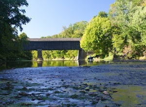
Canoe Neshaminy Creek at Tyler State Park
1 miEnjoy a peaceful paddle on Neshaminy Creek by canoe in Tyler State Park. The park is in a beautiful part of Bucks County and also offers paved and unpaved trails for running and bike riding, an extensive disc golf course, swimming in the creek, and picnic areas. It is likely that you will see a h...Read more -
New Hope, Pennsylvania
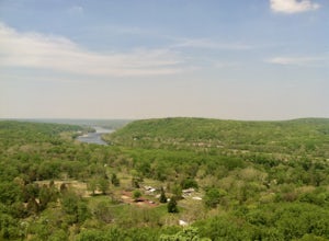
Visit Bowman’s Hill Tower
4.0Right off of River Road (Rt. 32), Bowman's Hill is one of the best views in Bucks County. When driving on River Road, you will see a sign for Bowman's Tower that leads to the top, where there is an ample amount of parking. From there, walk a short distance and then climb the tower for the view. ...Read more -
Kempton, Pennsylvania
Hike the Pinnacles and Pulpit Rock
4.29 mi / 1200 ft gainPark in the lot near the Hamburg Reservoir and hike around the barrier and up the gravel road. Shortly on your right the Appalachian Trail branches off the road. Follow the white blazes of the AT for around 2 miles to the Pulpit Rocks, just before the trail passes the Lehigh Valley Astronomical S...Read more -
Jim Thorpe, Pennsylvania
Hike to Bake Oven Knob
5.00.76 miThe trail is VERY rocky and stepping up the rocks requires proper footwear. From the beginning of the trail, hike until you reach an opening filled with rocks and boulders. Stay to the left of this and you will see the unmarked trail continue. After climbing up this, there is an overlook to the N...Read more -
Hopewell Township, New Jersey
Hike the Baldpate Mountain Loop
5.01.25 miThe parking lot on Pleasant Valley Road provides access to the trailhead for this 1.25 mile loop hike.Starting at the trailhead, take the Ridge Trail (white) going West. The ridge trail is wide and flat, and branches off to many other smaller trails throughout the preserve.After about 0.25 miles...Read more -
Philadelphia, Pennsylvania
Photograph the Benjamin Franklin Bridge
3.7Apart from Penn's Landing being a cool place for tourism or to hang out and visit, it's also quite a nice place to photograph. I've gotten the chance to take some shots while my friends were bugging me to leave, but it's still a must go to place for photographers no matter their skill level. Make...Read more -
Hopewell, New Jersey
Hike through the Sourland Mountain Preserve
5.02.91 miThe Sourland Mountain Preserve stretches from Hunterdon County all the way into Somerset County. The trails referenced here are on the southwest side of the preserve in Hunterdon County. They are accessible from an on site parking lot at 233 Rileyville Road in Ringoes NJ.There are several trails ...Read more -
Wilmington, Delaware
Hike the Hidden Pond Trail
4.02.15 mi / 282 ft gainBrandywine Creek State Park, a 933-acre park located in Northern Delaware, offers 14 miles of hiking trails, expanses of open fields, and the beautiful Brandywine Creek. The Hidden Pond trail is an excellent hike through the hardwood forests and down to the banks of the creek. The trail begins ...Read more -
New Castle County, Delaware
Hike the Indian Springs Trail
5.01.8 miThe Indian Springs trailhead is located to the right of the Brandywine Creek State Park Nature Center. The address for your GPS is 41 Adams Dam Road, Wilmington, DE, 19807.The trail starts out following along a crafted stone wall built in the 1800's and leads you through the 190 year-old tulip po...Read more -
Lehighton, Pennsylvania
Hike the Falls Trail at Beltzville State Park
4.05.5 miAt the Christman Trailhead, hike a quick, flat 2.5 miles following the yellow trail markers through farm meadows and birch forests to the Falls Trail loop/intersection. Here hike the Falls trail which is a 0.5 mile loop that links back to the 2.5 mile section back to the parking area. Bridges and...Read more

