Corbett, Oregon
Top Spots in and near Corbett
-
Amboy, Washington
Siouxon Trail to 14 Mile Falls
5.013.03 mi / 2310 ft gainWhen you park at the top of the trail, all you see is layers and layers of emerald trees and ground clear of any underbrush. Once on the trail, you start on a rapid decline that brings you to the first of the many streams along this hike. Cross the bridge made out of logs and head towards the ma...Read more -
Stevenson, Washington
Wind Mountain
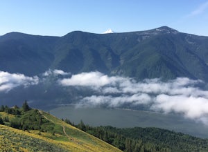
5.02.5 mi / 1037 ft gainOnce you reach the parking lot, walk down the hill and find the trail head, which is easily seen as it is marked. Begin your trek up the trail. The way up is pretty much all uphill, and is a great workout for the legs. You will walk through forests and over many rocks on the way up. As soon as y...Read more -
Government Camp, Oregon
Tom Dick and Harry Mountain
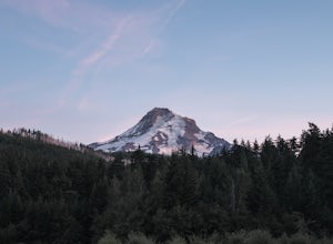
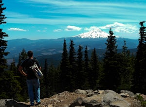
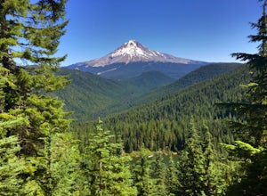
5.08.28 mi / 1726 ft gainLooking to score those iconic photos of Mt. Hood? Climb the well-graded trail to Tom Dick and Harry Mountain, one of the most accessible summit hikes to Portlanders, and see where they were all taken. Starting from the busy Mirror Lake Trailhead, climb roughly 900 feet and 1.5 miles to Mirror La...Read more -
Government Camp, Oregon
Mirror Lake Trail
4.54.09 mi / 810 ft gainI was out doing the Ramona Falls hike, and I decided that I needed to find a lake that provided me with a great view of Mt Hood. My first stop was Trillium Lake, but with that being a “drive up” lake, there were tons of people. Tons of people only means one thing…turbulent waters! As I was dr...Read more -
Government Camp, Oregon
Snowshoe Tom, Dick, and Harry
5.08 mi / 1710 ft gainYour day of adventure will start at the Skibowl West parking lot. Unfortunately, due to snowplowing, the roadside parking to the Mirror Lake trailhead is covered in snow. If you are doing this hike in the summer, be sure to check out this adventure: Climb Tock, Dick, and Harry Mountain!After you ...Read more -
Stevenson, Washington
Dog Mountain via Dog Mountain Trail
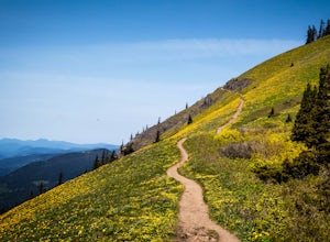
4.56.53 mi / 2858 ft gainThe Dog Mountain trailhead is located halfway between Stevenson and Bingen. Look for the big signed parking area just after milepost 53 (Eastbound). The parking lot fills up quickly, especially during peak wildflower season, so if you can go on a weekday that would be better. There are 3 trails ...Read more -
Stevenson, Washington
Dog Mountain: The Steeper Route
4.55.55 mi / 2858 ft gainIf you know the Columbia Gorge, you know Dog Mountain. It's the ever-rewarding, incredibly challenging, insanely popular, calf-burning 6.5-mile hike that attracts hundreds of people every weekend, especially during May and June when the wildflowers are in full bloom. If you're like me and you h...Read more -
Estacada, Oregon
Raft the Wild and Scenic Clackamas River
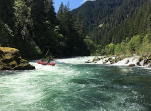
5.0The Wild and Scenic Clackamas River above the North Fork Reservoir is a great destination for paddlers and only about an hour drive from downtown Portland. This popular 13.5 mile section of river lies within the Mt. Hood National Forest and offers continuous class II-III boating with a little cla...Read more -
Mount Hood, Oregon
Kayak Laurance Lake
5.0This lake is found about 25 miles south of Hood River, Or. $5 for day use and now other passes are accepted, just keep that in mind. There are camping sites all over the lake as well, so if you are thinking of making a weekend out of it. It wasn't very crowded on a weekend during the summer so y...Read more -
Carson, Washington
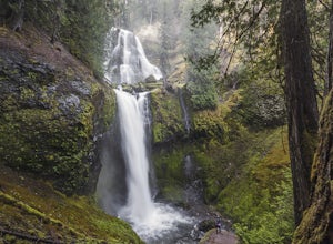
Falls Creek Falls
4.85.82 mi / 1512 ft gainThe trail to Falls Creek Falls is well maintained with a few short moderately steep areas. The trail hugs the creek for the first mile, and takes you through old growth trees for the second mile. Once the falls are in sight, make sure to stop and look up to see the top tier through the trees. It'...Read more -
Cascade Locks, Oregon
Mount Defiance
3.712.55 mi / 5167 ft gainThis hike starts at the Starvation Creek Rest Area. After parking, head west back along the shoulder of the freeway, where you’ll see a wooden sign stating “Mt. Defiance Trail.” Continue heading west along the abandoned Columbia River Highway. Keep going west as you pass the junction with the Sta...Read more -
Cascade Locks, Oregon
Lower Starvation Ridge Loop
3.72.69 mi / 1001 ft gainStarvation Creek Falls is an impressive 190 ft. waterfall just a few feet from the parking lot. If you don't know it's there, you'll miss it. Keep walking past the restrooms, away from the trail head to see this beautiful two-tiered waterfall. There are a couple of picnic tables near the creek to...Read more -
Cascade Locks, Oregon
Starvation Creek Falls
3.5The Starvation Creek Falls drops 141ft down into a naturally formed bowl, cascading past a wooded picnic area and onto the Columbia River. The falls are one of the easiest falls to access in the Columbia River Gorge along with Multnomah Falls, but are far less Crowded. The short 300ft walk from t...Read more -
Cascade Locks, Oregon
Warren and Lancaster Falls
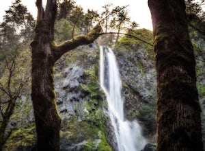
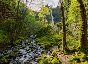
4.51.89 mi / 571 ft gainThe hike along Mt. Defiance Trail to Warren and Lancaster Falls is great if you want to get away from some of the more crowded destinations in the gorge, or just want to catch some shade during the summer. The trail is fairly easygoing, though the last 1/4th of a mile to Lancaster Falls is a bit ...Read more -
Portland, Oregon
Warrior Rock Lighthouse
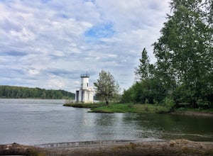
4.06.04 mi / 148 ft gainThis is a perfect easy hike close to Portland on Sauvie Island that offers more than just a walk through a forest. At the end of the 3 mile trail is a long secluded beach and the Warrior Rock Lighthouse. This has become one of my favorite go-to runs on a summer weeknight evening or for a quieter ...Read more -
Government Camp, Oregon
Veda Lake Trail
4.02.5 mi / 748 ft gainThis hike starts at the Fir Tree Trailhead and is an out and back 2.8 mile round trip. It's short, but there's 660 feet of elevation gain. To start, you climb steeply then it's an easy hike to a beautiful viewpoint overlooking the lake. The trail descends via switchbacks down to the lake for the ...Read more

