Corbett, Oregon
Top Spots in and near Corbett
-
White Salmon, Washington
Coyote Wall Loop
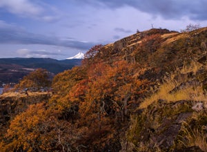
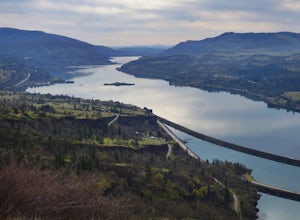
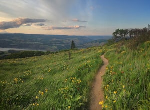
3.56.29 mi / 1962 ft gainCoyote Wall is a relatively uncrowded trail system in the Columbia River Gorge that provides outstanding views of the Columbia River. The trail system is made up primarily of user-created mountain biking trails, allowing hikers a choose-your-own-adventure approach to exploring the area. Start o...Read more -
Mosier, Oregon
Mosier Plateau Trail
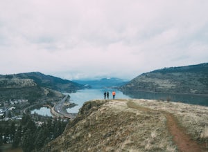
2.79 mi / 600 ft gainThe Columbia River Gorge is full of hidden gems, especially for new folks like me. I just found out about this little trail right in the middle of Mosier Oregon. The trail is great for new hikers, and if you have some friends visiting this would be the perfect trail to take them on if they don'...Read more -
Cougar, Washington
Hike to Ape Canyon
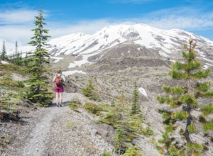
9.6 mi / 1650 ft gainNot to be confused with the ever so popular Ape Caves, the Ape Canyon is a moderately challenging hike that remains above ground, climbing a total of 1650 feet in elevation parallel to the Muddy River. Although originally designed as a hiking trail, this route has become increasingly popular wit...Read more -
Cougar, Washington
Hike the Lava Canyon
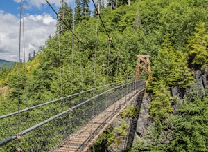
3.06.5 miStarting at the Lava Canyon Trailhead, you will walk on a paved trail down a few switchbacks until you reach the river, where you can go right or left. Either way takes you to the suspension bridge, but I recommend going right if you are following this guide. It will make more sense in a moment.A...Read more -
498 Old Highway 8, Washington
Labyrinth-Coyote Wall Loop
6.42 mi / 1555 ft gainSadly because of the devastating Eagle Creek fire on the Oregon side of the Gorge, most of the trails are closed for restoration. As a result more hikers are heading to the Washington side and heading further east for Gorge day hikes. Heading east gets you some sunnier skies and prime wildflower ...Read more -
Gates, Oregon
Opal Creek Pools Loop
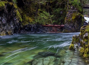
4.66.6 mi / 663 ft gainNote: this trail is closed due to fire damage. For more updates, please visit the Forest Service website. The Opal Creek pools are a wonderful place to visit year-round, but they’re a true oasis on a hot summer day. With a variety of rock outcroppings and ledges to jump off of, and plenty of ro...Read more -
Lyons, Oregon
Cedar Flat and Kopetski Trail Loop
9.62 mi / 958 ft gainOn Saturday, I slid into the backseat alongside weekend belongings crammed in the car trunk. Backpacks with patches and streaks of dust. Bags of food that could be cooked over the flames of a fire. We drove south on the 5, leaving Portland and crossing through Salem, as Lake Street Dive albums p...Read more -
Lyons, Oregon
Henline Falls Trail
5.01.71 mi / 312 ft gainThe trail is a washed out, old mining road making its way through a lush forest with a mix of ferns, moss covered trees, and towering Douglas Firs with trees blown over from wind storms lining both sides of the trail. I call those Big Foot traps. The trail comes to a fork, stay to the left you ar...Read more -
Skamania County, Washington
Hike to Lewis River Falls
4.3Distance: 5.4 milesElevation Change: 500ftThis Lewis River hike starts at Lower Falls then follows the Lewis River Trail #31, detours up to Copper Creek, before returning back to the main trail for the magnificent Upper Falls. Enticing views of the crystalline water in the Lewis River will make y...Read more -
Lyons, Oregon
Swim at Three Pools
5.0To get there from Salem, Follow Hwy. 22 east to Mehama. Turn on Little North Santiam Road (FS 2209) and proceed for 12 miles to Three Pools Day Use Area. Three Pools is by far one of the most popular swimming holes in the Northwest. With multiple swimming holes within just feet from one another i...Read more -
Silverton, Oregon
Camp in Silver Falls State Park
4.68.7 mi / 1300 ft gainIf you're thinking of hiking the Trail of Ten Falls Loop and staying overnight, there are 42 tent campsites (available from April – Oct) as well as 14 rustic cabins. With multiple beds, heat, electricity, a covered porch, and a small fridge, they provide the perfect respite after a long day of ex...Read more -
Drake Crossing, Oregon
Trail of Ten Falls Loop
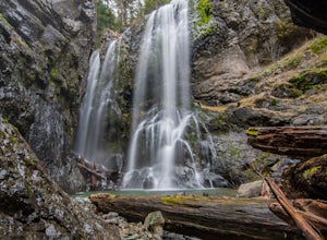
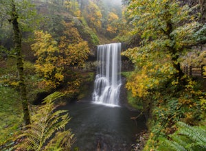
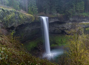
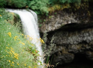
4.77.16 mi / 1178 ft gainThe unique feature of South Falls, Lower South Falls, and Middle North Falls are the paths that pass behind the falls providing an amazing visual and auditory experience; however, be sure to have a good bag for your equipment to avoid water damage and a decent jacket (preferably water-resistant)....Read more -
Mosier, Oregon
McCall Point
4.03.56 mi / 1168 ft gainThe trail begins at the Rowena Crest Overlook on the Old Columbia River Highway between Hood River and the Dalles. Park at the Rowena Overlook, and you find the trail on the south side of the area. Follow the trail to the top of McCall Point. The trail is fairly level at first but then climbs ste...Read more -
Mosier, Oregon
Rowena Crest Viewpoint
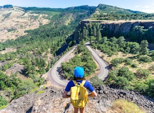
4.8If you're looking for a minimal effort pit stop on the drive through the Columbia River Gorge with huge bang for your buck, this is the spot. Rowena Crest is an iconic viewpoint that creates a horseshoe curve along the road. This unique shape is one of the most photographed roads in Oregon. It's ...Read more -
Silverton, Oregon
South Silver Falls
5.02.14 mi / 361 ft gainSouth Silver Falls is a loop trail that takes you by a river located near Silverton, Oregon.Read more -
Detroit, Oregon
Battle Ax Mountain
5.05.09 mi / 1594 ft gainWith no officially marked trailhead, this hike begins slightly west of Elk Lake in Marion County. Take Highway 22 to Detroit, OR. East of the bridge over Breitenbush River, turn onto (FR) Forest Road 46, with signs pointing to Breitenbush River. After 4.5 miles turn left at a sign for Elk Lake, a...Read more

