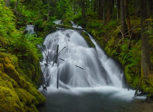
Corbett, Oregon
Top Spots in and near Corbett
-
Clackamas County, Oregon
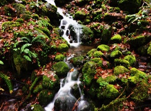
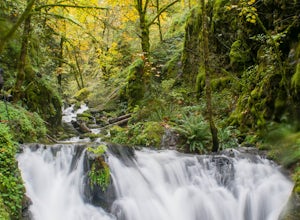
Salmon River Trail
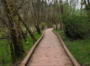
4.54.4 mi / 50 ft gainLargely Flat Trail4.4 Miles roundtripOld Growth ForestRiver Scouting Opportunities There are seven trailheads all off to the right of E. Salmon River Road. All are easily accessible under normal conditions. The hike meanders alongside the river, providing ample opportunities to scout the river's...Read more -
11020 Southwest Denney Road, Oregon
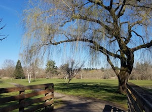
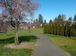
Run the Fanno Creek trail
4 miThe parking lot marked is at the North end of the Fanno Creek trail, you can get on the paved path here and put on just about as many miles as you want! With the help of google maps on your phone you can follow trail hop all the way down to Tualatin! But if you're looking for a shorter workout yo...Read more -
Clackamas County, Oregon
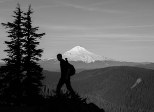
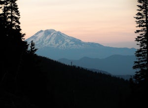
Tumala (Squaw) Mountain
4.74.51 mi / 1099 ft gainOn a clear day, this short, secluded hike offers breath-taking views of Mt. St. Helens, Mt. Rainier, Mt. Adams, Mt. Hood, and Mt. Jefferson, as well as of downtown Portland, Coast Range, and the Roaring River Wilderness. Begin the hike from the Twin Springs Trailhead and immediately take your fi...Read more -
Tualatin, Oregon
Kayaking the Lower Tualatin River
4.0The Tualatin River runs from Hagg Lake, near Forest Grove, then travels through many small towns before it empties into the Willamette River at Willamette Park.Start at the Tualatin Community Park in Tualatin and paddle down to Willamette Park in West Linn. This section offers a few miles of easy...Read more -
Rhododendron, Oregon
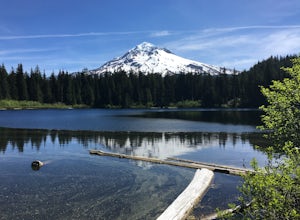
Burnt Lake and Zigzag Mountain
5.012.27 mi / 3225 ft gainAfter getting your back country permit from a park ranger, you can park your car and head up Zigzag Mountain. There's a tiny 'parking lot' (lot of dirt) where you park that's right by the trailhead. The hike up to the campsites is roughly 4 miles, and it is all uphill. Not only are you surrounde...Read more -
Mount Hood, Oregon
McNeil Point via Top Spur Trailhead
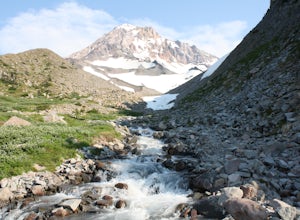
4.97.17 mi / 2428 ft gainThe hike to McNeil Point begins at Top Spur Trailhead, in the Mt. Hood National Wilderness. Follow signs for McNeil Point along the Pacific Crest and Timberline Trails heading north. Though there are numerous camping opportunities along the way (most of the route follows the PCT), an old stone s...Read more -
Mount Hood, Oregon
Hike to Sandy Glacier Caves
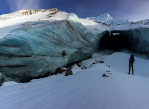
4.512.5 mi / 2800 ft gainThe hike to the caves begins at Top Spur Trailhead. The hike to McNeil Point is 5.4 miles one way, and 2200 feet of elevation gain. The trail starts in the forest, but will eventually open up to views of Mt Hood, as well as St. Helens, Adams and Rainier on a clear day.There is a shortcut up to Mc...Read more -
Mount Hood, Oregon
Timberline Loop Trail via the Top Spur Trail
4.02.26 mi / 627 ft gainStarting at the parking area, cross the dirt road to start hiking up from the Top Spur Trailhead. In 0.4 miles you will reach the Pacific Crest Trail intersection, take a right onto the Pacific Crest Trail. In a couple hundred feet you will reach a larger intersection of a bunch of different trai...Read more -
Portland, Oregon
A Quick Escape to Sauvie Island
3.5During those summer days when you’re desperately seeking some sand between your toes, open space to soak up the sun, and nature to play around in…Sauvie Island is calling your name. Located just 10 miles outside of downtown Portland, Sauvie Island offers a convenient rural escape that’s just begg...Read more -
Beaverton, Oregon
Hike through Tualatin Hills Nature Park
2 miThis is an awesome place to escape to for a workout, or just a walk through the forest! You can make it a short walk, or turn it in to 6+ miles of loops! The one main trail is paved, but it’s not hard to find some single dirt track trails branching off and wandering through the trees, it can make...Read more -
7444-7498 Southwest 160th Avenue, Oregon
Bike the Westside Regional Trail
8 miTechnically this trail stretches from the Tualatin Hills Nature Park, down through the west Beaverton/ Sexton Mountain area and can comfortably get you to Barrow’s park near Big Al’s. The trail from end to end comes in at just over 8 miles, so a down and back by bike can make for a good workout a...Read more -
Cascade Locks, Oregon
Emerald Falls
2.00.65 mi / 308 ft gainStart at the Wyreth Campground day-use area. If it's closed, park on the side of the road and walk in from the roadway. You'll see an intersection with a wooden bridge crossing the river. Take a few pictures and continue straight on the trail. You'll go about 1/2 mile on the trail until you rea...Read more -
Cascade Locks, Oregon
North Lake via Wyeth Trail
1.012.36 mi / 4505 ft gainPark at the Wyeth Trailhead parking lot and start hiking south along the old road bed. At the junction with the Gorge-Wyeth Trail, bear left and follow the Wyeth Trail as it goes beneath several power lines. Follow the trail as it goes back into the woods and crosses Harphan Creek. Continue on an...Read more -
Cascade Locks, Oregon
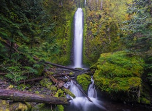
Gorton Creek Falls
4.71.01 mi / 361 ft gainThe Gorton Creek Falls hike provides an excellent challenge for those who are searching for a bit of adventure. The trailhead starts at the Wyeth Campground day use area, and continues straight at the intersection. The first 2/3rds of the trail are relatively easy to traverse (depsite being rough...Read more -
Rhododendron, Oregon
Devil's Peak Lookout
3.02.62 mi / 600 ft gainThe Trail: This hike is one of the 2 routes that lead to the lookout, and the shorter of the two. It requires more driving to get to the trailhead than the other, but less walking, so if that sounds appealing to you, you have come to the right place! First, you'll be greeted by a dense forest w...Read more -
Rhododendron, Oregon
Little Zig Zag Falls
5.00.66 mi / 131 ft gainThe hike along Little Zig Zag River is definitely one of Oregon's hidden gems. Although the waterfall isn't as highly rated in comparison to other impressive falls like Multnomah Falls, Abiqua Falls, or Bridal Viel Falls, it is still quite the sight to see, and most definitely worth the visit. T...Read more

