Williamsport, Ohio
Top Spots in and near Williamsport
-
Logan, Ohio
Old Man's Cave and Ash Cave via Buckeye Trail
9.42 mi / 1060 ft gainOld Man's Cave and Ash Cave via Buckeye Trail is an out-and-back trail that takes to two scenic caves in Hocking Hills State Park located near South Bloomingville, Ohio. This trail is dog friendly on-leash.Read more -
Logan, Ohio
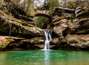
Upper Falls Hocking Hills State Park
0.13 mi / 10 ft gainThis .13 mile hike crosses a beautiful bridge that's one of the most-photographed features in Hocking Hills. This awesome trail system is perfect for families and people who want to be spontaneous because there are many routes to choose from as you go. The trailThis short hike is close to the pa...Read more -
Logan, Ohio
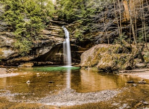
Lower Falls Loop via Buckeye Trail
1.22 mi / 171 ft gainThis 1.2-mile trail has minimal elevation gain and leads to Lower Falls. This waterfall flows the most in the spring, especially after a snowy winter, and can dry up around July during dry summers. What's the trail like?The loop has a one-way path, making it easier for people to get in and out. ...Read more -
Dublin, Ohio
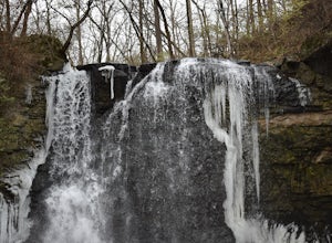
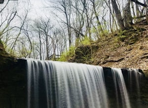
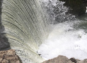
Photograph Hayden Run Falls
2.0A great evening getaway while in Columbus, Hayden Run Falls is easy to access. The path to the falls is a well-maintained boardwalk above the floodplain of the Scioto River, just a little over a 0.1 mile in length. The boardwalk takes you right up to the very foot of the 35 foot tall waterfall, a...Read more -
South Bloomingville, Ohio
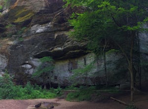
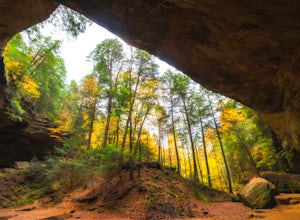
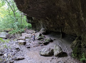
Explore Ash Cave
5.00.5 miGetting to Ash Cave is extremely easy with a short quarter-mile hike from the parking area; there's also a rim trail above the cave that adds 90 feet of elevation and some extra distance. The cave is great for relaxing in the shade during a hot day, enjoying a spring picnic, or grabbing some imag...Read more -
Logan, Ohio
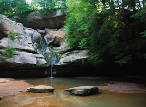
Cedar Falls
4.30.38 mi / 56 ft gainLocated on Queer Creek in Hocking Hills State Park, the popular 50 ft-Cedar Falls still tends to be less crowded than Old Man's Cave. There are scenic views to be had year-round off of the stream-lined path, starting from the lower parking lot off of SR 374. For quicker access to the falls, star...Read more -
Dublin, Ohio
Photograph Indian Run Falls
4.01 miIndian Run Falls is a family friendly destination for the metro lifestyle. Sitting just outside downtown Dublin, the falls are easily accessible from the nearby parking lot, with the roar of the fall audible as soon as you get out of your car. For those seeking a hike, there is a 1/2 mile trail t...Read more -
Columbus, Ohio
Blendon Woods Loop
1.97 mi / 112 ft gainBlendon Woods Loop is a loop trail that takes you through a nice forest located near Columbus, Ohio.Read more -
Westerville, Ohio
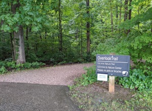
Hike the Overlook-Hickory Ridge-Brookside Trail
4.01.6 miThis gravel woods path at Blendon Woods Metropark, just over 1.5 miles, is perfect for a quick hike when visiting the city! You may be close to Ohio's capitol city, but you feel far away in the woods of this park. Come into the main entrance and turn right at the Ranger Station. Park near the n...Read more -
Logan, Ohio
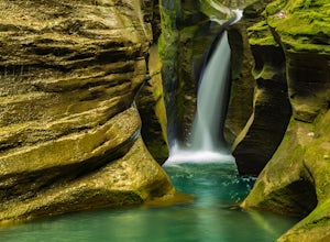
Corkscrew Falls
3.81 mi / 35 ft gainI like to describe this waterfall as the "elusive" Corkscrew Falls (aka Robinson Falls). A couple of years ago, only one or two people had blogged on the internet about these falls. They were not super, descriptive details, so most of the time I wandered around till I found the trail. There is no...Read more -
Cedarville, Ohio
Hike to Cedar Cliff Falls
4.42.6 mi / 250 ft gainStarting from the Indian Mound Reserve parking lot, follow the private drive back until the signs indicate to follow the trail through the woods to the right, about 1/4 mile. Make sure you stay right of the painted yellow line on the road, trespassers on the private land surrounding the park are ...Read more -
Cedarville, Ohio
Hike the Gorge Trail at Indian Mounds
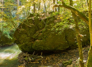
5.0Cedarville, Ohio is known for its expansive farmland, but in the Indian Mounds Park you'll find several unique features, such as the cavern located on the Gorge Trail! This cave is formed out of the side of a cliff and is perfect for easy exploration and climbing. When the water is low enough yo...Read more -
Plain City, Ohio
Run the Ironweed Trail in Glacier Ridge Metro Park
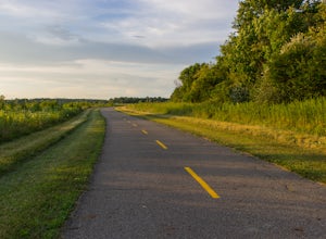
4.02.8 miFrom the main entrance on the north side of the park, the Ironweed Trail connects the northern, more wooded section of the park with the wetlands to the south. This 2.8 mile one-way trail is paved, making cycling, running, and hiking an easy activity. The topography of the park also makes it easy...Read more -
Lewis Center, Ohio
Hike the Overlook-Dripping Rock Loop
5.04.8 mi / 100 ft gainStarting at the nature center near the entrance of the park, the 2.5 mile long Dripping Rock Trail heads off in two directions, to the south and to the west. Either way will take you back to the nature center at the end of the day. Going west takes you past an observation deck and then along a de...Read more -
Plain City, Ohio
Conquer the Glacier Ridge Challenge Course
0.25 miThis quarter mile course is perfect for those looking for athletic competition, fun challenges, or ninja training. It is located adjacent to the parking lots in the main area of Glacier Ridge Metro Park, so there will always be plenty of parking for your group. There are water fountains at the be...Read more -
Yellow Springs, Ohio
Clifton Gorge
4.02.5 mi / 118 ft gainThe entirety of this hike is within the Clifton Gorge State Nature Preserve, a protected park with strict restrictions on off-trail travel with pets prohibited. Starting at the parking lot off of Jackson St, follow the trail northwest along the narrows of Clifton Gorge. Here, the river has carve...Read more

