Williamsport, Ohio
Looking for the best photography in Williamsport? We've got you covered with the top trails, trips, hiking, backpacking, camping and more around Williamsport. The detailed guides, photos, and reviews are all submitted by the Outbound community.
Top Photography Spots in and near Williamsport
-
Chillicothe, Ohio
Hike the Shawnee Ridge Trail
10 miStarting at the northern parking lot, head south along the Shawnee Ridge Trail. Several spur and loop trails intersect the trail along the 10 mile out-and-back hike. Many of these spur trails include difficult hikes up large hills like Sugarloaf Mountain, Sand Hill, and Mt. Ives. At each trail in...Read more -
Grove City, Ohio
Hike through Scioto Grove Metro Park
4.07 miNew in May 2016, the Scioto Grove Metro Park has about 600 acres of land in Grove City, OH. There are more than 7 total miles of connecting trails as well as picnic areas and jungle gyms.Easy to navigate, there are park maps at all major trail junctions, which makes this hike enjoyable for all. ...Read more -
Galloway, Ohio
Hike the Darby Creek Greenway
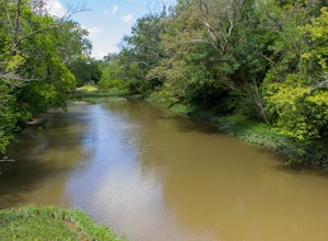
9.6 mi / 50 ft gainStarting your hike from the Cedar Ridge Picnic Area, head north along the Darby Creek Greenway, a well-maintained gravel path that is a multi-use trail alongside cyclists and trail runners. The trail switches between a number of different settings during the 4.7 mile one-way trek, including fores...Read more -
Laurelville, Ohio
Explore the Rock House
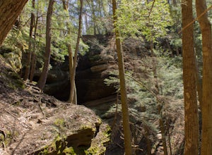
5.00.5 mi / 150 ft gainFrom the Rock House parking lot, follow the trail for 0.1 mile down the hill until you come to a fork in the trail, at which point follow the yellow marked Lower Rim Trail that continues downhill through a set of carved sandstone steps and then turns to parallel the cliffs. From there, it's less ...Read more -
Spindler Road Starting Point, Ohio
Hike the Mudsock Trail
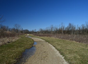
4.01.5 mi / 0 ft gainThis trail begins at a dog park and meanders alongside farm fields and creeks. Stay to the right at the first fork to begin the Mudsock Trail. The second fork in the trail results in a loop that meets up with itself and continues on. Depending on the amount of plant growth/season, there is a trai...Read more -
West Jefferson, Ohio
Hike the Darby Creek Trail
4.02.6 mi / 30 ft gainParking at the Whispering Oaks Picnic Area on the west side of the park, start on the Darby Greenway Trail and follow it north across the river until you reach the beginning of the Lake View Trail. This 0.9 mile trail takes you along the largest of the Darby Bend Lakes, and even takes you past a ...Read more -
Rockbridge, Ohio
Hike the Cantwell Cliffs Loop
5.01 mi / 100 ft gainCantwell Cliffs is one of the more northern units of the overall Hocking Hills State Park Region. Located off of OH SR 374, a short 0.1 spur trail takes you from the parking lot to the rim of the gorge and the area's namesake cliffs. From there, you have two choices: Turn left and descend through...Read more -
Logan, Ohio
Hike & Camp in Hocking Hills, Ohio
4.93 miIf you find yourself in Ohio, you must stop in Logan and visit the Hocking Hills. This place seems to consistently find itself on lists for the best hiking in the country - and for good reason. The forest and state park is vast, and it includes Old Man's Cave, Ash Cave, Cedar Falls, Rock House, t...Read more -
Logan, Ohio
Old Man's Cave Loop
4.50.63 mi / 102 ft gainTake the Rim Trail in Hocking Hills State Park, which descends into the deep gorge and takes you alongside a stream as you head towards a number of cascades and interesting rock faces. Rim Trail can be linked to Cedar Falls, as well, or from the Upper Falls you can take Grandma Gatewood Trail fo...Read more -
Logan, Ohio
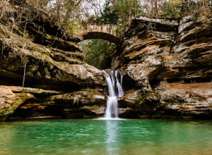
Upper Falls Hocking Hills State Park
0.13 mi / 10 ft gainThis .13 mile hike crosses a beautiful bridge that's one of the most-photographed features in Hocking Hills. This awesome trail system is perfect for families and people who want to be spontaneous because there are many routes to choose from as you go. The trailThis short hike is close to the pa...Read more -
Logan, Ohio
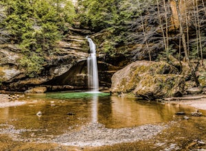
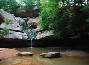
Lower Falls Loop via Buckeye Trail
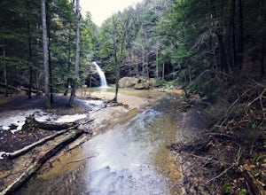
1.22 mi / 171 ft gainThis 1.2-mile trail has minimal elevation gain and leads to Lower Falls. This waterfall flows the most in the spring, especially after a snowy winter, and can dry up around July during dry summers. What's the trail like?The loop has a one-way path, making it easier for people to get in and out. ...Read more -
Dublin, Ohio
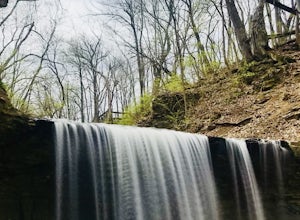
Photograph Hayden Run Falls
2.0A great evening getaway while in Columbus, Hayden Run Falls is easy to access. The path to the falls is a well-maintained boardwalk above the floodplain of the Scioto River, just a little over a 0.1 mile in length. The boardwalk takes you right up to the very foot of the 35 foot tall waterfall, a...Read more -
South Bloomingville, Ohio
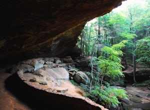
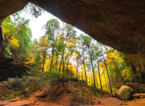
Explore Ash Cave
5.00.5 miGetting to Ash Cave is extremely easy with a short quarter-mile hike from the parking area; there's also a rim trail above the cave that adds 90 feet of elevation and some extra distance. The cave is great for relaxing in the shade during a hot day, enjoying a spring picnic, or grabbing some imag...Read more -
Logan, Ohio
Cedar Falls
4.30.38 mi / 56 ft gainLocated on Queer Creek in Hocking Hills State Park, the popular 50 ft-Cedar Falls still tends to be less crowded than Old Man's Cave. There are scenic views to be had year-round off of the stream-lined path, starting from the lower parking lot off of SR 374. For quicker access to the falls, star...Read more -
Dublin, Ohio
Photograph Indian Run Falls
4.01 miIndian Run Falls is a family friendly destination for the metro lifestyle. Sitting just outside downtown Dublin, the falls are easily accessible from the nearby parking lot, with the roar of the fall audible as soon as you get out of your car. For those seeking a hike, there is a 1/2 mile trail t...Read more -
Westerville, Ohio
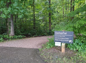
Hike the Overlook-Hickory Ridge-Brookside Trail
4.01.6 miThis gravel woods path at Blendon Woods Metropark, just over 1.5 miles, is perfect for a quick hike when visiting the city! You may be close to Ohio's capitol city, but you feel far away in the woods of this park. Come into the main entrance and turn right at the Ranger Station. Park near the n...Read more

