Westerville, Ohio
Top Spots in and near Westerville
-
Howard, Ohio
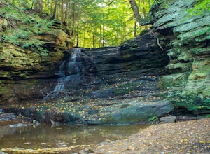
Photograph Honey Run Waterfall
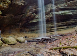
4.0Getting to Honey Run Falls is incredibly easy! There are two parking lots for the park, one on the west side of the road for the Honey Run Highlands, and one on the east side of the road in the forest for the falls. From the forest parking lot, follow the trail south for roughly 500 ft until you ...Read more -
West Liberty, Ohio
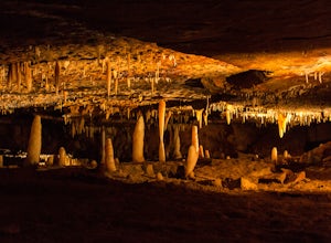
Explore Ohio Caverns
4.81 mi / 80 ft gainOhio Caverns is a locally owned private establishment with guided tours through the cave system that lies beneath the rolling farmland of Central Western Ohio. The caves were formed by the dissolution of the Devonian limestone bedrock below, giving way to some of the most phenomenal cave features...Read more -
Rockbridge, Ohio
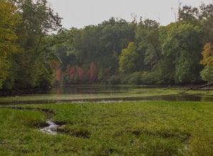
Hike to Ramona Lake
11 mi / 1600 ft gainStarting at the Creekside Meadows Parking Lot, follow the Creekside Meadows Trail for 0.3 of a mile until it forks into two trails. Follow the left fork towards the road, and as soon as you cross the road, the Cemetery Ridge Trail begins. Once across Clear Creek Road, the trail gains elevation fa...Read more -
Logan, Ohio
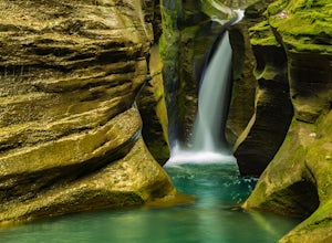
Corkscrew Falls
3.81 mi / 35 ft gainI like to describe this waterfall as the "elusive" Corkscrew Falls (aka Robinson Falls). A couple of years ago, only one or two people had blogged on the internet about these falls. They were not super, descriptive details, so most of the time I wandered around till I found the trail. There is no...Read more -
Springfield, Ohio
Swim at Buck Creek SP
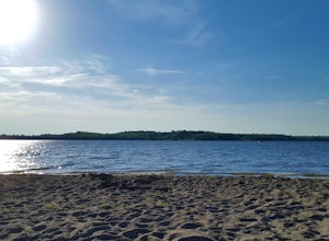
2.5Officially opened in 1975, Buck Creek State Park is home to a 2,120 acre lake with 1,896 acres of land consisting of forests, meadows, a beach, and two dams. On a warm summer day, this beach is the place to be! Plenty of free parking and plenty of space to spread out. It is the only beach in Spri...Read more -
Rockbridge, Ohio
Hike the Cantwell Cliffs Loop
5.01 mi / 100 ft gainCantwell Cliffs is one of the more northern units of the overall Hocking Hills State Park Region. Located off of OH SR 374, a short 0.1 spur trail takes you from the parking lot to the rim of the gorge and the area's namesake cliffs. From there, you have two choices: Turn left and descend through...Read more -
Springfield, Ohio
Stroll along the Dam at the CJ Brown Reservoir
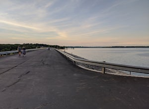
3.01.2 miThis walk is safe, open, flat and perfect for getting some exercise with a view! The dam is 1.2 miles round trip, and open for a variety of activities - walking, jogging, biking, skateboarding, and rollerblading! At the far end of the dam is a long set of stairs leading to the lower parking lot...Read more -
Springfield, Ohio
Hike the Stone's Throw Trail
4.00.8 miThis 0.4 trail is tiny but mighty! It is hidden up the hill from the CJ Brown Reservoir Visitor Center, and leads down a small wooded path to a less accessed part of the lake. This is a common spot for birdwatching, and a favorite place for Springfield's elusive Great Blue Herons. Follow the p...Read more -
Bellefontaine, Ohio
Visit Campbell Hill
0.1 mi / 10 ft gainOne of the easiest of the 50 State Highpoints in the United States to visit, Campbell Hill sits just outside Bellefountaine (pronounced Bell-fountain), Ohio. Sitting on the grounds of the Hi-Point Career Center, Campbell Hill is open to visitors virtually everyday of the year during daylight hour...Read more -
Perrysville, Ohio
Photograph Mt. Jeez
3.0While it might not seem like much, Mt. Jeez stands 1,310' feet above sea level, making it one of the higher "peaks" in Ohio. Because of that, it's one of the few spots in the Buckeye State that allow for grand, sweeping vistas with a 270 degree view for a few miles in most directions. Originally ...Read more -
Perrysville, Ohio
Hike the Pleasant Hill Lyons Falls Loop
5.02.75 miTo get to this trail you can go to the Dam that is a part of Pleasant Hill Lake and there is a parking area across the street. After you start walking you reach signs that will ask where you want to go, either to the covered bridge or to the Lyons Falls.By going towards the covered bridge first y...Read more -
Laurelville, Ohio
Explore the Rock House
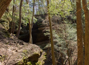
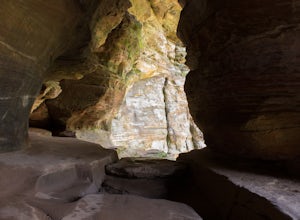
5.00.5 mi / 150 ft gainFrom the Rock House parking lot, follow the trail for 0.1 mile down the hill until you come to a fork in the trail, at which point follow the yellow marked Lower Rim Trail that continues downhill through a set of carved sandstone steps and then turns to parallel the cliffs. From there, it's less ...Read more -
Perrysville, Ohio
Photograph Clear Fork Gorge
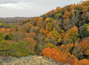
The hardest part of this adventure is finding parking, especially on a late October afternoon. There's two different observation decks to take photos of the gorge from, and both have excellent views of the overall gorge. Having grown up just up the road from Mohican State Park, "The Gorge" has al...Read more -
Rockbridge, Ohio
Hike the Gorge at Conkle's Hollow
4.63 mi / 200 ft gainStarting from the parking lot, cross the small foot bridge before coming to where the trail splits. You will have 3 options (straight, left or right). My personal opinion on route will be described below.Take the paved path that explores the valley floor first. It is an easy 1/2 mile out and b...Read more -
Chillicothe, Ohio
Hike the Shawnee Ridge Trail
10 miStarting at the northern parking lot, head south along the Shawnee Ridge Trail. Several spur and loop trails intersect the trail along the 10 mile out-and-back hike. Many of these spur trails include difficult hikes up large hills like Sugarloaf Mountain, Sand Hill, and Mt. Ives. At each trail in...Read more

