New Mexico
Discover New Mexico activities like skiing, hiking, and sight seeing. Find unique places to stay, and local adventure tours.
Top Spots in and near New Mexico
-
Colfax County, New Mexico
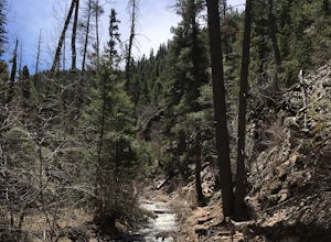
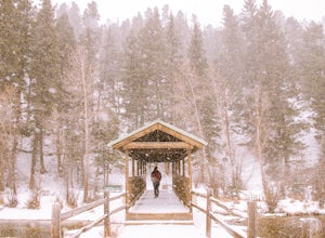
Hike to Clear Creek in Cimarron Canyon State Park
4.02.5 mi / 1000 ft gainHead North from Eagle Nest towards Cimarron, and about 7 miles (or less) on your right hand, you will find two big signs with a parking area on both sides of the road. If you park on the right side, walk on the inside of the guardrail until you find the trail head sign. If you parked on the left ...Read more -
U.S. Highway 64, New Mexico
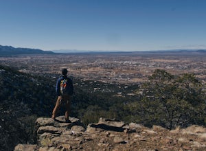
Devisadero Peak
5.48 mi / 1375 ft gainThe Basics: 8,304 foot Devisadero Peak, which literally translates to "lookout," does not actually provide a great view from its treed summit. However, this lollipop loop hike has many vantage points over the Taos Valley as it snakes up and around this foothill mountain. To get to the trailhea...Read more -
Las Cruces, New Mexico
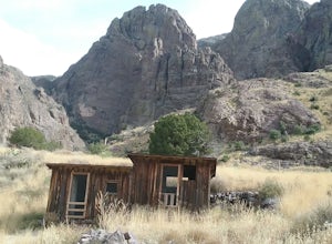
Hike the Dripping Springs Natural area
3.5 mi / 500 ft gainThis is a very scenic moderate 3,5 mile hike featuring beautiful views, rare plants and the ruins of the historic Dripping springs resort. Lots of wildflowers in the summer. In the winter you may encounter some snow and ice at the end of the trail. The trail is rather busy on week-ends but not so...Read more -
Las Cruces, New Mexico
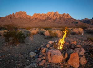
Camp Below the Organ Mountains
5.0These are well maintained BLM campsites just outside of Las Cruces. It's a great option for setting up a tent, car camping, or parking an RV. There are no facilities so remember to always pack in and pack out.Read more -
Raton, New Mexico
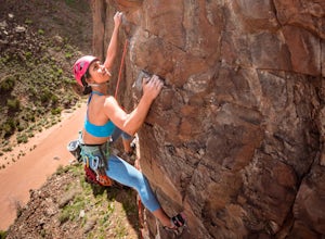
Rock Climb at Sugarite Canyon
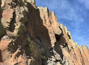
Most ratings range from 5.7 to 5.11 with fewer 5.12. Only one climb in the whole area is bolted-- and that is a 5.10a. To get to this area it is about a 10 minute scramble through woods and boulders on a path that leads straight to the south facing wall.Driving through Raton, New Mexico exit at t...Read more -
White Sands NM, New Mexico
Dune Life Nature Trail
1.8 miStarted the hike at the Dune Life Nature trail parking area. Two rangers took us all on the trail . We walked up and down the dunes and some flat areas. We started out at sunset and the views of the sunset were beautiful. 30 minutes later we walked in the dark with light of the moon. The sand was...Read more -
Jemez Springs, New Mexico
Visit the Jemez Soda Dam
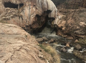
For the past 7,000 years, calcium carbonate at this spot in northern New Mexico. And after all those centuries, it has formed into a natural bridge across the Jemez river, roughly 300 feet in length. Drive northeast from Jemez Springs on New Mexico State Route 4. Just under 2 miles later, the fo...Read more -
Taos, New Mexico
Drive the Enchanted Circle Scenic Byway
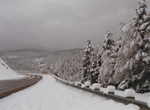
Start the drive at the Taos Plaza in downtown Taos. You can drive the whole loop and enjoy the beautiful scenery and small villages along the way. In the spring, there may still be snowfall, making the drive even more beautiful.Read more -
Socorro, New Mexico
Explore Box Canyon
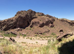
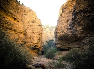
5.00.75 miFrom one side of the canyon the other is a total of .75 miles of breath taking scenery of the local New Mexico landscape.Read more -
Jemez Pueblo, New Mexico
Drive the Jemez Mountains Scenic Byway
Start your road trip at the Pueblo Visitor Center. You can stop at the Jemez State Monument to visit the old ruins of the Mission. Then head to the Jemez Falls. Continue the drive through beautiful red rock scenery to Los Alamos and Bandelier National Monument.Read more -
Farmington, New Mexico
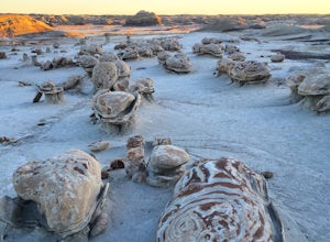
Camp in the Bisti Badlands
4 miAfter driving down some dirt roads to the marked location, park in the main parking area. Free car camping is allowed here. Look across the blank landscape to the east. A compass may help you keep your bearing while out hiking because there are no trails or trail markers. Exit the parking area by...Read more -
Aguirre Springs Road, New Mexico
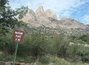
Hike the Baylor Pass Trail
5.06.9 mi / 1568 ft gainModerate hike in the Organ Mountains Desert Peak National Monument in New Mexico. Very good views of the Organ Mountains , the Tularosa Basin and wildflowers in the summer and fall. Excellent place to see the Organ Mountains evening primroseRead more -
Los Alamos, New Mexico
Climb in Diablo Canyon
Diablo Canyon has grown in popularity over the last decade, particularly due to its frequent appearance in television and films. It has hundreds of sport and trad climbs of varying difficulty on basalt cliffs that reach over 300 feet high, with approaches varying from 5 to 30 minutes.Grades range...Read more -
Red River, New Mexico
Hike the Red River Nature Trail
2 miThe Red River Nature Trail starts right in town next to the Platinum Lift off Pioneer Road. The trail travels 2 miles to Goose Lake Road. The hike itself can be taken as a two or four mile hike, depending on weather you access it point to point or out and back. We started the trail behind the vis...Read more -
Las Cruces, New Mexico
Hike the Leasburg Slot Canyon
2.4 mi / 675 ft gainLeasburg Slot Canyon is a 2.4 mile trail that offers a unique experience that is close to Interstate 25. The directions will take you to the banks of the Rio Grande where you can park anywhere along the dirt road that is convenient. This hike should only be attempted in the late fall or winter be...Read more -
Albuquerque, New Mexico
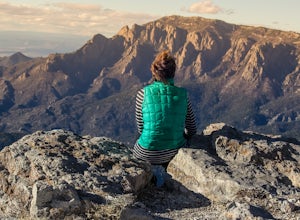
Summit South Sandia Peak
10.78 mi / 3595 ft gain*This is a loop hike so you can go either direction. I like going counterclockwise to hike the steepest part up instead of down at the end of a long hike.* You'll start out on the Three Gun Trail for about half a mile until you reach a spur to take Hawk Watch Trail. After traveling briefly on thi...Read more

