New Mexico
Discover New Mexico activities like skiing, hiking, and sight seeing. Find unique places to stay, and local adventure tours.
Top Spots in and near New Mexico
-
La Senda de Medio Trailhead, New Mexico
Hike La Senda de Medio Trail
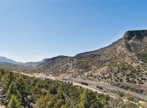
5 miIf you find yourself in Taos for the weekend, the La Senda del Medio trail is a perfect hike to add to your adventure. About 20 minutes south of town and located in Rio Grande del Norte National Monument, this trail follows the Rio Grande for 2.5 miles and connects 5 different campgrounds. The tr...Read more -
Deming, New Mexico
Hike the Lovers' Leap Trail
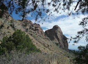
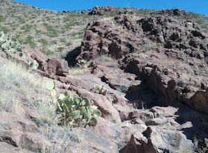
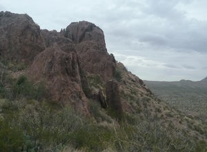
1.1 mi / 790 ft gainThis a short but steep trail to a saddle in the mountains with wonderful views of the surrounding mountains and valleys below. The rock formations are quite impressive. If you like solitude and quiet this is the place to go. Lots of cacti and juniper trees. If you are lucky you will be able to se...Read more -
Cedar Crest, New Mexico
Tree Spring Trail
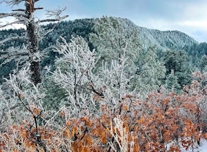
5.04.11 mi / 984 ft gainTree Spring Trail is an out-and-back trail where you may see beautiful wildflowers located near Sandia Park, New Mexico.Read more -
Lamy, New Mexico
Hike to the Happy Valley Overlook in the Galisteo Basin Preserve
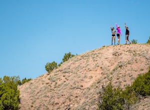
1 mi / 150 ft gainThe Galisteo Basin Preserve south of Santa Fe, New Mexico is community conservation area of some 10,000 acres with 28 miles of publicly accessible trails for hikers, mountain bikers, and equestrians.The Happy Valley Overlook is a great, quick way to get an epic view of a large portion of Galisteo...Read more -
Rincon, New Mexico
Rincon Petroglyphs
2 mi / 500 ft gainStarted my journey right after I park on the dirt that passes under the interstate. Headed north up the hill passed an old mine and continued until I reached the arroyo. Climbed around the arroyo to see the different petroglyphs. Good views of the Rio Grande valley below.Read more -
2572-2598 Desert Wind Way, New Mexico
Explore the Dona Ana Mountains
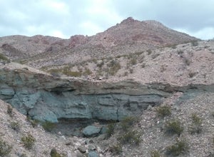
5.02 mi / 1000 ft gainThe Dona Ana Mountains offer a variety of outdoor fun. Hiking, rock climbing, wildflowers and petroglyphs. There are several different ranges to explore with arches, steep cliffs and also easy trails. The elevation gain changes depending which trails you decide to take. You can also access the...Read more -
Las Cruces, New Mexico
Hike the Picacho Mountain
3 mi / 1200 ft gainThis is a somewhat strenuous hike up Picacho Mountain. The trail is 3 miles round trip and has an elevation gain of 1200 ft. Great views from the top and also many cacti species can be seen along the trail.Read more -
Faywood, New Mexico
Hydra Trail in City of Rocks State Park
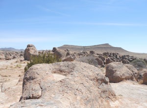
3.66 mi / 240 ft gainStart the hike from the visitor center. Hike toward the botanical garden and continue on the trail around the rock formations. You can wind your way through the taller rocks and enjoy the view! Connect to the other trails in the park for some additional hiking. There is little shade so bring plen...Read more -
Unnamed Road, New Mexico
Hike the Aden Crater Trail
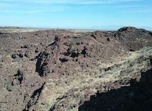
1.9 mi / 187 ft gainDrove fro El Paso to the crater in the Potrillo Wilderness Study area a on a series of county dirt roads. Some of the roads are quite rough. Interesting place to explore. Deep crater and large lava fields. Good views of the surrounding plains. The place is very isolated and quiet. Best to get a m...Read more -
Bloomfield, New Mexico
Ah-shi-sle-pah Trail
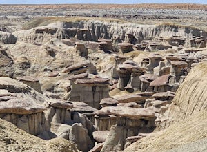
2.81 mi / 249 ft gainAh-shi-sle-pah Trail is a loop trail that takes you past scenic surroundings located near Nageezi, New Mexico.Read more -
Las Cruces, New Mexico
Hike to Massacre Peak
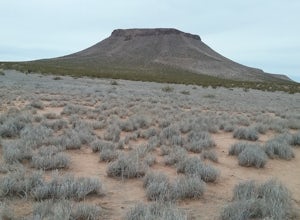
2 mi / 700 ft gainThere is not a designated trail here. You will have to find your own way up the mesa. The climb is rated as moderate is about 2 miles long. There is an elevation gain of about 700 ft. Good views from the top.Read more -
Las Cruces, New Mexico
Hike Buckle Bar Canyon
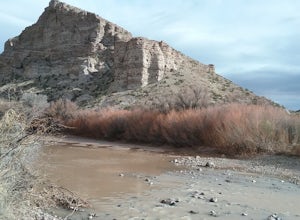
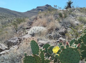
3 mi / 500 ft gainHiked the canyon after having crossed the Rio Grande in the winter, very little water in the river. I climbed several mountains with very good views of the mountains around us. Many great cacti can be seen here. Hiked about 3 miles round trip. Best hiked in the winter or spring.Read more -
Pecos, New Mexico
Hike the Grand Slam in Pecos New Mexico
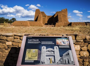
7.5 mi / 600 ft gainPecos National Historical Park offers up the "grand slam" for hiking, which is a bit of a misnomer because they only have 3 trails and a grand slam indicates you would have completed 4 of something. In order to achieve the "grand slam" you need to hike all 3 trails in one day, completing approxi...Read more -
Silver City, New Mexico
Mountain Bike the Picnic Loop
2 mi / 350 ft gainCalled the "Berg Trail" by Silver City locals in honor of Gary Berg who pioneered the extensive trail system around Gomez Peak, the Picnic Loop beginning at the Little Walnut Creek picnic area is a great way to be introduced to the incredible mountain biking trails to be found in the area. Beginn...Read more -
Red River, New Mexico
No Name Point
Not even a mile down Bitter Creek Rd, there’s a right-hand turn that takes you next to this spectacular rock outcropping. There's a little dirt parking area when you come down and around the turn that sits right next to Bitter Creek itself. It’d be a swell place hang out, play around on the roc...Read more -
Las Cruces, New Mexico
Hike the Sierra Vista Trail
29 mi / 500 ft gainThe trail follows the foothills of the Organ Mountains. The terrain is hilly but not very difficult to hike. There are some steep laces and also some sandy places. I have only hiked sections of the trail at different occasions . There are a lot of interesting plants along the trail. The trail is ...Read more

