New Mexico
Discover New Mexico activities like skiing, hiking, and sight seeing. Find unique places to stay, and local adventure tours.
Top Spots in and near New Mexico
-
Farmington, New Mexico
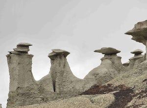
Bisti Badlands Trail
5.05.46 mi / 269 ft gainBisti Badlands Trail is a loop trail where you may see beautiful wildflowers located near Newcomb, New Mexico.Read more -
Deming, New Mexico
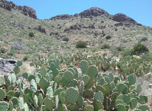
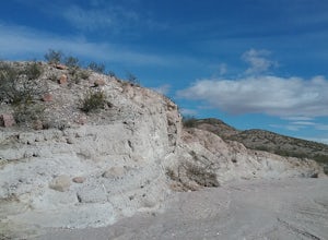
Hike the Thunder Egg Trail
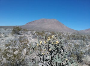
1.21 mi / 321 ft gainThis trail is an easy walk through cacti and desert vegetation. Hikers are allowed to collect rocks while hiking this trail. There are designated places where hikers can look for rocks. There are very good views of the Florida Mountains and the valley to the west. In the springtime many blooming ...Read more -
Glorieta, New Mexico
Hike the Glorieta Battlefield Trail
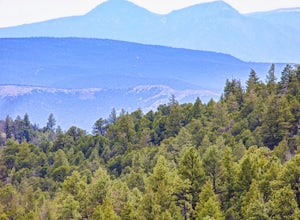
2.25 mi / 500 ft gainThis trail is a little tricky to get to, so be sure to stop at the Pecos NHP Visitor Center first for directions. You will also need to retrieve a gate code from the ranger. I would recommend picking up a guide inside the Visitor Center so you know what you're looking at on the trail (important)....Read more -
Truth or Consequences, New Mexico
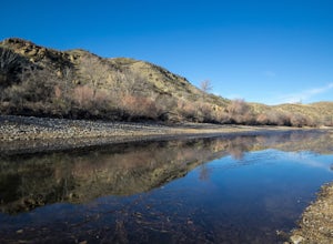
Walk the Paseo del Rio Trail
1 mi / 6 ft gainThis is a great scenic walk near the town of Truth or Consequences (which is a unique and fun town to explore). I stopped here to stretch my legs and take my dog on a little walk when we were making a long drive up Interstate 25. However, there is also camping here for $10 a night at a self-pay s...Read more -
Las Cruces, New Mexico
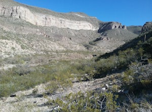
Hike the Pena Blanca Trail
5.02.3 mi / 262 ft gainThe road to get here is a dirt road, but I was able to do it without a 4x4 or high-clearance vehicle. Once you park off to the left in the little gravel pull-off, you're going to follow the trail that is on the same side of the road. There will be a post that is red at the top (second picture) th...Read more -
Mogollon, New Mexico
Explore Mogollon Historic District
Fun old town located at the bottom of Silver Creek Canyon. Many older mining buildings, mining memorabilia, a museum and hiking trails. There are a couple of restaurants open during the summer. Highway 159 to Mogollon is quite steep and scenic offering great views of the Mogollon Mountains.Read more -
Alamogordo, New Mexico
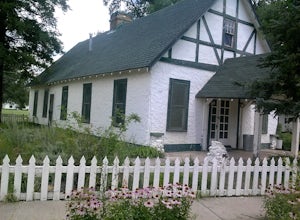
Hike Oliver Lee State Park Dog Canyon
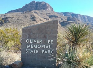
0.7 mi / 101 ft gainThis State Park is close to the city of Alamagordo , NM. It has a nice creek with water flowing during the rainy season. The Dog Canyon hike is hard but offers great views of the canyon and the canyon walls. Superb views of the Sacramento Mountains. The historic Ranch House can be visited during...Read more -
CanAm Highway, New Mexico
Explore the Tonuco Mountain
4 mi / 800 ft gainTo get to Tonuco Mountain North of RadiumSprings , NM from Las Cruces, NM take Interstate 25 to exit 32. Once off the interstate turn left on go under the interstate. Take the first dirt road to your left and drive to the top of the canyon. If you have a 4 wheel drive vehicle you can descend into...Read more -
Las Cruces, New Mexico
Hike the Baylor Pass West Trail
6.3 mi / 1548 ft gainStart your hike from the parking lot of Baylor Pass Road. The trail starts to climb gently first and then gradually the climb gets steeper, but nothing too difficult. There is nice desert vegetation along the trail and very good views of the Organ Mountains and valley below.Read more -
Sunland Park, New Mexico
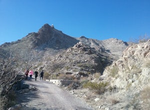
Hike Mount Cristo Rey Trail
4.6 mi / 649 ft gainThe trails winds its way up the mountain with several stopping places with crosses and other religious artifacts. On top of the mountain is a very large statue of Christ. This hike provides good views of the Franklin Mountains, El Paso, and Mexico. It is best to hike this trail with a group to be...Read more -
Alamogordo, New Mexico
Hike Alamo Canyon Loop Trail
-6.6 mi / 1205 ft gainAlamo Canyon Loop trail is a 6.6 miles loop in the Lincoln National Forest. It is best to start the trail from the junction of TR 107 Roundup Ground trail and hike counter clock wise. There are spectacular views of the canyon and the Sacramento Mountains. There is great variety of desert flora a...Read more -
Fort Stanton, New Mexico
Explore Fort Stanton Historic Site
Get started at the visitor center to get the lay of the land. Then, take your time visiting all the historic buildings that are open to the public. This is a great family stop on a road trip as well as a good place to escape the heat during the summer.Read more -
16085-16107 North Valley Drive, New Mexico
Explore Foster Canyon.
2 mi / 300 ft gainFoster canyon is along hwy NM 185 near Buckle Bar Canyon and Faulkner canyon. It is a fairly easy walk in a sandy arroyo. There some interesting rock formations there. Also by climbing some of the hills off the arroyo you will have some good views of the surrounding mountains.Read more -
Cedar Crest, New Mexico
Sulphur Canyon #281 and Cienega Horse Bypass #266 Loop
4.02.25 mi / 469 ft gainSulphur Canyon #281 and Cienega Horse Bypass #266 Loop is a loop trail that provides a good opportunity to view wildlife located near Cedar Crest, New Mexico.Read more -
Church Rock, New Mexico
Explore Kit Carson Cave
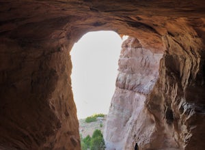
0.6 mi / 65 ft gain...When you research hiking gems to explore in New Mexico, this cave most likely won't be one of the first ones to pop up. This amazing landmark, called Kit Carson Cave, is a short drive off the I-40 and is located near the town of Gallup. After a long day of driving, or if you're just looking ...Read more -
County Road A005, New Mexico
Hike to Cox Peak and Mount Riley
5 mi / 1500 ft gainDrove from El Paso to cox Peak this morning. About 45 miles from El Paso. The roads to the mountains are in good condition. Did not hike up the mountain but hiked around the base and enjoyed the views and the cacti. There is not a trail to the top of the mountains and scrambling up the mountain s...Read more

