Jefferson, New Hampshire
Looking for the best hiking in Jefferson? We've got you covered with the top trails, trips, hiking, backpacking, camping and more around Jefferson. The detailed guides, photos, and reviews are all submitted by the Outbound community.
Top Hiking Spots in and near Jefferson
-
Lincoln, New Hampshire
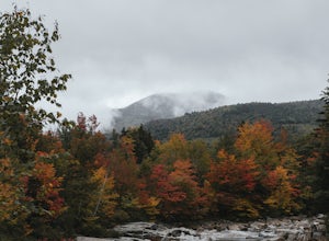
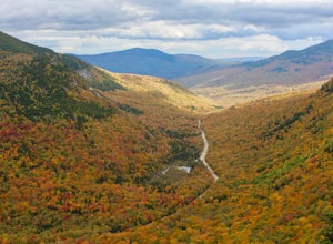
Photograph Fall Foliage on the Kancamagus Highway
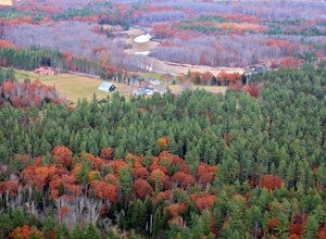
4.032 mi / 2855 ft gainDriving the Kancamagus Highway is something you can do as a way to cross the White Mountain National Forest quickly from I-93 in the east to Conway, or it can be an entire day's activity. In the fall, it's almost impossible not to stop at every turn-off on the scenic highway as it winds through t...Read more -
Conway, New Hampshire
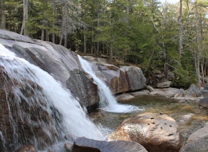
Diana's Baths
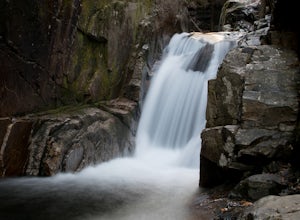
5.01.33 mi / 190 ft gainDiana's Baths is an out-and-back trail that takes you by a waterfall located near North Conway, New Hampshire.Read more -
Maine 26, Maine
Hike Eyebrow Trail to Old Speck Mountain Loop
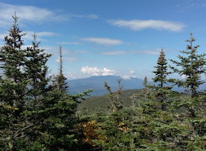
7.8 mi / 3000 ft gainThe first time I attempted this trail was in mid April, and the slush and mud I encountered was absolutely unbelievable. Snowshoes were useless. Crampons were useless. Boots alone meant dirty, wet, muddy feet. So, I had to bail. But I came back in October and I’m so glad I did because the views o...Read more -
Newry, Maine
Table Rock Trail
4.51.91 mi / 761 ft gainTable Rock Trail is a loop trail that takes you past a cave located near Newry, Maine.Read more -
Bartlett, New Hampshire
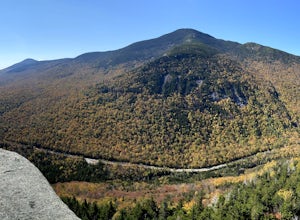
Hike Cathedral Ledge
4.03.4 mi / 722 ft gainDuring spring, summer and fall there is a road that allows you to drive to the top of Cathedral Ledge. In winter the road is closed off to vehicles so reaching the top requires a 1.7 mile hike. Once at the top, there is a fenced in lookout with a 180 degree view of North Conway and the surroundin...Read more -
Conway, New Hampshire
Cathedral Ledge via Bryce Path Trail
2.07 mi / 574 ft gainCathedral Ledge via Bryce Path Trail is an out-and-back trail that takes you by a waterfall located near Bartlett, New Hampshire.Read more -
Waterville Valley, New Hampshire
Sabbaday Falls
4.70.7 mi / 171 ft gainThis awesome waterfall is located right off of the Kancamagus Highway (rt 112) that runs from Lincoln to North Conway, NH. The highway itself is a very scenic drive through the White Mountains that has pull off spots every couple of miles. From I93 take exit 32 for Lincoln. Drive straight throug...Read more -
Newry, Maine
Photograph Screw Auger Falls
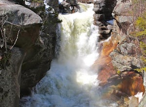
4.00.2 mi / 6 ft gainAfter parking in the allotted parking area at screw auger, make your way down to the falls to explore! There are several "smaller waterfalls" that the river flows over before making its way to the 27 foot main attraction. Going in April, the falls were at their most powerful. It made taking pictu...Read more -
Thornton, New Hampshire
Hike Mount Tecumseh via Tripoli Road
6.2 mi / 2545 ft gainThis short hike starts out from the Tecumseh Trailhead parking lot along Tripoli Road at an elevation of 1,820 feet. The trail heads south from the parking area and almost immediately crosses a few brooks which may be difficult at high water. The first mile or so is a relatively gradual ascent. O...Read more -
Albany, New Hampshire
Rocky Gorge Scenic Area Loop
2 mi / 266 ft gainA beautiful area of the Kancamagus Highway, the Rocky Gorge section is home to rushing rapids and scenic lakes. When visiting in the fall the colors are amazing however be ready for traffic and more crowds. This location has a parking lot and walking trails along the river to multiple viewpoints.Read more -
North Conway, New Hampshire
Hike White Horse Trail
4.75 mi / 1043 ft gainConsider this moderate hike a warm-up to some of the bigger boys in the area! We've hiked Cathedral Ledge from Echo Lake State Park in the past, but wanted something a little longer in distance & slighting more challenging. When I asked the guy manning the State Park booth for a map he said, ...Read more -
Benton, New Hampshire
Hike Mount Moosilauke via Beaver Brook Trail
7.6 mi / 3150 ft gainThe trailhead is located along Lost River Road. There is a $5.00 day use parking pass required. The trail starts off on the Beaver Brook Trail (also the Appalachian Trail). The trail consists of cascades of rocks, wood-block steps and metal rungs (not all entirely in tact). It is very often ...Read more -
Albany, New Hampshire
Champney Falls - Bolles Chocura Loop
5.09.18 mi / 2904 ft gainChampney Falls - Bolles Chocura Loop is a loop trail that takes you by a waterfall located near Lincoln, New Hampshire.Read more -
Thornton, New Hampshire
Hike the Lafayette-Lincoln Loop
2.35.2 miBegin at the Mt. Tecumseh trailhead. You will hike for 1.2 miles before your first vista. Continue from there another mile until you arrive at the junction with the Sosman Trail. Stay right and continue another 0.3 miles to reach the summit of Mt. Tecumseh. At just over 4,000' this peak offers in...Read more -
Colebrook, New Hampshire
Hike to the Top of Table Rock
4.31.52 mi / 715 ft gainThough the trail may seem a bit daunting at first (especially for beginners), this out-and-back hike isn't all that difficult. At the trailhead (located almost directly behind the sign "Entering Dixville Notch State Park"), you'll begin by walking through some densely wooded forest. The trail is ...Read more -
6385 Vermont 5A, Vermont
Hike to Mount Pisgah
4.04.1 mi / 1597 ft gainThe hike to Mount Pigsah is 4.1 miles out and back, just outside of Westmore, Vermont. The trail is most commonly used from March through October, but some people traffic this trail in the winter with crampons and sturdy hiking boots. This is an incredibly dog friendly trail. Be aware that there...Read more

