Jefferson, New Hampshire
Looking for the best hiking in Jefferson? We've got you covered with the top trails, trips, hiking, backpacking, camping and more around Jefferson. The detailed guides, photos, and reviews are all submitted by the Outbound community.
Top Hiking Spots in and near Jefferson
-
Franconia, New Hampshire
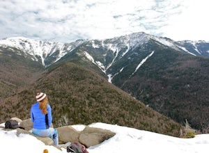
Winter Hike up Mount Lafayette
9 mi / 3900 ft gainTo start this hike, you can park right at the trailhead in a parking lot off of 93. This is a hike up a mountain so the entire hike is pretty challenging. There is a total elevation gain of 3900 feet in about 4.5 miles. A couple miles in you break through the treeline and then from there the view...Read more -
Franconia, New Hampshire
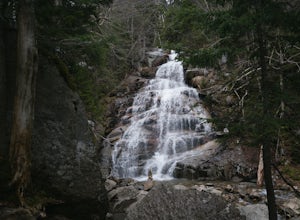
Hike Falling Waters Trail
4.03 mi / 1100 ft gainFalling Waters Trail takes you up to the summit of Little Haystack Mountain, and Mount Lincoln and Mount Lafayette if you continue to the Franconia Ridge Trail / Appalachian Trail, then over to Old Bridle Path.Also along Falling Waters Trail are stunning waterfalls. The most popular one is Cloudl...Read more -
Franconia, New Hampshire
Hike to Greenleaf Hut via Old Bridle Path
5.05.5 mi / 3772 ft gainTo hike to the Appalachian Mountain Club's Greenleaf Hut, the best route for a day hike there and back is the Old Bridle Path. This hike is certainly doable in a day if you're interested in just hiking to the Greenleaf Hut. You have a lot of options when hiking this trail. I am going to focus spe...Read more -
Franconia, New Hampshire
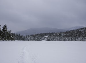
Snowshoe to Lonesome Lake
3.1 mi / 1013 ft gainThe best place to park when doing this hike in the winter is at the Lafayette Campground. The campground and parking lot are typically empty in the cold winter months, aside from occasional cross-country skiers on the Pemigewasset bike path. The Lafayette campground parking lot is directly access...Read more -
Franconia, New Hampshire
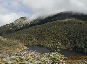
Lonesome Lake
4.53.05 mi / 1027 ft gainThe Franconia Notch area of New Hampshire has many roadside adventures to go on, bringing in thousands of visitors every year, but my favorite place in the notch is Lonesome Lake. At 3 miles, the hike is easy enough for the whole family, but most people visiting the notch stick to the roadside a...Read more -
Lincoln, New Hampshire
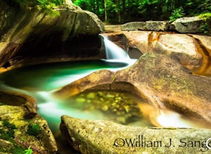
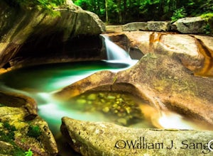
Explore the Basin in Franconia Notch
4.01 mi / 300 ft gainThe Basin is just one stop on the Pemigewasset Recreational Trail that follows along I-93 through Franconia Notch. The parking lot for the Basin is easily accessible from either north or south on I-93, and it has it's own exit sign which can't be missed.Park in the lot and follow the signs toward...Read more -
Lincoln, New Hampshire
Kinsman Pond via Basin Cascade
7.25 mi / 2215 ft gainOur hike began at the Basin, which is a clearly marked exit directly off 93. If you are coming from the Northbound side, walk under the bridge beneath 93 to get to the beginning of the trail. We enjoyed the Basin for a while before hiking 1.0 mile to the Cascade Brook Trail where we took a right....Read more -
Lincoln, New Hampshire
Hike Mt. Liberty and Camp at Liberty Springs Tent Site
7 mi / 2870 ft gainLiberty Springs Trail is a moderately trafficked out and back trail in the heart of Franconia Notch State Park and the White Mountains. The trail is a part of the Appalachian Trail, which allows it to remain very well maintained throughout the year. The trail is listed as difficult and strenuous ...Read more -
Lincoln, New Hampshire
Hike the Flume Gorge
4.82 mi / 300 ft gainThe Flume Gorge in Franconia State Park is beautiful year round and every season has it's unique benefits. During the summer, the Flume is a highly frequented tourist destination and is usually crowded with groups of kids and families. Technically, the Gorge is closed during the winter and there ...Read more -
Bartlett, New Hampshire
Hike Mt. Carrigain
5.010 mi / 3250 ft gainPark on Sawyer River Road at the Signal Ridge Trailhead. Trail starts out as a mild climb and meanders with the Whiteface Brook. When you arrive at the Carrigain Notch Trail junction, turn left. Enjoy three miles of steep uphill along the mountain's edge. When you reach the the apex of Mt. Carrig...Read more -
Lincoln, New Hampshire
Franconia Brook Trail
15.94 mi / 1122 ft gainThe Franconia Brook Trail is a 16 mile out and back trail in White Mountain National Forest. The trail features a river, and is primarily used for hiking. This trail is also great for cross country skiing or snowshoeing in the winter. The trailhead is approximately eight miles from Thirteen Fall...Read more -
Lincoln, New Hampshire
Franconia Falls
6.77 mi / 459 ft gainFranconia Falls Trail, starting at the Lincoln Woods Trailhead, features natural waterslides, a swimming hole, and fun for all ages. The Franconia Falls Trail is located in White Mountain National Forest, allows dogs, and is a perfect day trip year round! This trail is also frequently used in th...Read more -
Lincoln, New Hampshire
Hike to Bondcliff
5.018 mi / 3110 ft gainPark at the Lincoln Woods Visitors Center off the Kancamagus Highway where the Lincoln Woods Trailhead begins. Because of such a long hike, it's best to start at daybreak, or as early as possible to make it back before dark. The trail starts at the beginning of a suspension bridge crossing the Ea...Read more -
Lincoln, New Hampshire
Summit Mount Hancock and South Hancock
9.8 mi / 2220 ft gainThe Hancock trailhead is located at the infamous hairpin turn of the Kancamagus Highway in the White Mountains. The trail itself crosses the road and starts at 2000 feet of elevation on the Hancock Notch trail. It remains fairly flat for the first 3 miles of the trail. After 1.8 miles you will hi...Read more -
Stow, Maine
Hike to Rattlesnake Pool
2.11 mi / 207 ft gainThe best place to start your hike is from Route 113 near Gilead, head towards Stone House Road. This becomes Shell Pond Road. A few miles in, you'll find a gated area where you can park. This trail, and Rattlesnake Pool, are both on private land - so be sure to practice leave no trace principles.Read more -
Lincoln, New Hampshire
Osceola Mountain via Greeley Pond
4.06.8 mi / 2677 ft gainStart out at the Greeley Pond trailhead off of the Kancamagus Highway. After 1.3 miles the trail splits--bear right to get onto the Mt. Osceola Trail. Continue 1.5 miles to the summit. This summit hike offers a different kind of reward. Views are limited from the peak of Mt. Osceoloa, which allow...Read more

