Sedalia, Colorado
Looking for the best photography in Sedalia? We've got you covered with the top trails, trips, hiking, backpacking, camping and more around Sedalia. The detailed guides, photos, and reviews are all submitted by the Outbound community.
Top Photography Spots in and near Sedalia
-
Sedalia, Colorado
Hike Devils Head Fire Lookout
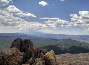
4.72.8 mi / 951 ft gainThis is one of my favorite hikes near Denver and the lookout itself is over 100 years old! On the road to the trailhead there are many spots for camping and other activities.From Sedalia, CO head down Highway 67 for about 10 miles. Turn south onto Rampart Range Rd and continue for about 9.5 miles...Read more -
Woodland Park, Colorado
Climb at Turkey Rocks
5.0Looking for a place to hone your crack climbing technique? Turkey Rocks is the place with some old school ethics and stiff grades. Turkey can be accessed from the town of Westcreek north of Woodland Park. From here, head west on Abbey Road and then south on West Creek Ave. About a mile down t...Read more -
Pine, Colorado
Dispersed Camp at the Buffalo Creek Area in Pike National Forest
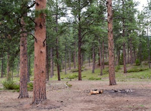
3.850 miles from Denver, nestled in Pike National Forest, there are dozens of free dispersed camping sites. With quick access to the Colorado Trail and Buffalo Creek Mountain Bike Area, these campsites make for a perfect weekend getaway. The campsites begin on Forest Road 550, and are clearly marked...Read more -
Sedalia, Colorado
Backpack the Lost Creek Loop
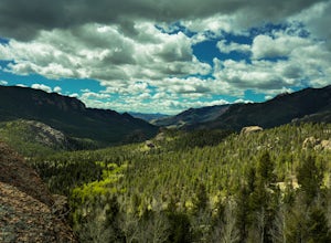
33.5 mi / 6200 ft gainLost Creek Wilderness may be my favorite part of Colorado. It contains varied terrain and geography, and is less crowded than most places. This loop will take you through everything the wilderness area has to offer. You will get sweeping panoramas of mountain ranges to the south, as well has m...Read more -
Sedalia, Colorado
Camp at Goose Creek
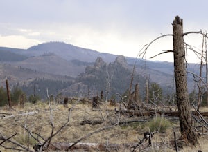
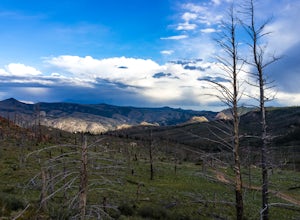
3.08 mi / 1300 ft gainGoose Creek is a fantastic spot to hike or camp. There is a dirt road leading to the trailhead, and it winds through the mountains and offers a great view of the valley. The dirt road is relatively easy and well-maintained. The burn scar from the Hayman fire is still really evident, so there are ...Read more -
Woodland Park, Colorado
Red Rocks at Woodland Park
4.31 mi / 100 ft gainIn Woodland Park driving on HWY 24 towards Divide, you will see signs for HWY 67 which is where you'll need to get to. The Road will fork towards the end of town (left being 24 towards Divide, Right being 67). Stay right at the fork onto 67. You will then drive about 2 miles until you see a sign ...Read more -
Littleton, Colorado
Hike to Carpenter Peak
4.56.2 mi / 1171 ft gainCarpenter Peak stands at 7,166 feet above sea level. While that altitude might not exactly take your breath away, the views from the top certainly will. Starting at the Visitor's Center, the trail to Carpenter's Peak begins as a relatively flat, well-traveled trail. A little less than a mile into...Read more -
Littleton, Colorado
Walk the Willow Creek Loop
1.4 miRoxborough State Park is located on the outskirts of Littleton, Colorado. Boasting incredible red rock formations and abundant wildlife, it is the perfect place for a quick escape outside.The Willow Creek Loop connects to the two parking lots in the park, so it is impossible to miss. With only th...Read more -
Littleton, Colorado
Hike the Fountain Valley Trail at Roxborough State Park
4.82.3 mi / 100 ft gainThe Fountain Valley Trail at Roxborough State Park is a very easy trail that's perfect for those that want to enjoy the outdoors but not subject themselves to the rigors of climbing a 14er. This very well maintained trail is wide and flat and perfect for groups, families, or for taking visitors t...Read more -
Larkspur, Colorado
Spruce Mountain Loop
4.55.46 mi / 810 ft gainSpruce mountain is an approximately 4.2 mile loop outside of Colorado Springs near Palmer lake. The hike is a pretty easy one, that has some great views of the Front Range including peak a boo views of Pikes Peak. Starting at the Trailhead, you can either take the right or left trail which will t...Read more -
Littleton, Colorado
Hike the Eagle's View Trail
4.34.3 mi / 900 ft gainReynolds Park is part of the Jefferson County Open Space system. Located a few miles south of Conifer, off Hwy 285 on S. Foxton Road, it is a foothills park geared for families, groups, and the casual hiker. The network of trails on the west side of the road offers hikers and equestrians anything...Read more -
Jefferson, Colorado
Backpack Lost Creek
4.05 miI included a trail map of where I camped. There are many sites all throughout this area. From the Lost Park Campground Parking lot follow the Lost Creek for 2.4 miles. At the 1 mile mark was the best place that we found to cross the creek (there are two logs that make a bridge across the creek). ...Read more -
Littleton, Colorado
Winter Hiking and Wildlife in Waterton Canyon
3.712.4 miWaterton Canyon is the beginning of the Colorado Trail which stretches 500 miles from Denver to Durango. Camping is allowed on the Colorado Trail but is not allowed in the first 6 miles section of Waterton Canyon, which is managed by Denver Water. The gravel road is great for running, biking, hi...Read more -
Cascade, Colorado
Photograph Rampart Range Road
4.720 miFrom the starting point near Balanced Rock in Garden of the Gods, Rampart Range Road turns to dirt and begins a steady climb into the foothills west of Colorado Springs. Though dirt, the road is well-graded and perfectly suitable for passenger cars in good weather. As the road climbs, you'll trav...Read more -
Jefferson, Colorado
Trek through Granite Pillars on Bison Peak
12.4 mi / 4000 ft gainBison peak sits 2 hours from Denver in the mountains of the Lost Creek Wilderness. To reach the 12,431 ft. summit you'll start in low density ponderosa forest at 8,750 ft on crushed granite trail. Early starts are recommended in the summer months as the trail's high albedo can make for an extreme...Read more -
Florissant, Colorado
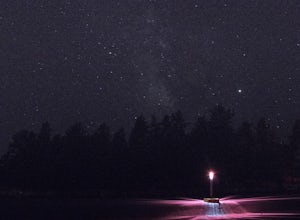
See the Stars at Florrisant Fossil Beds
While Florrisant is known mostly for its history and collection of fossils, it is also one of the darkest places in the Colorado Springs area. While the park closes daily at dusk, it has Night Sky Programs monthly which allows visitors to view the stars with the help of the Colorado Springs Astr...Read more

