Marble, Colorado
Looking for the best photography in Marble? We've got you covered with the top trails, trips, hiking, backpacking, camping and more around Marble. The detailed guides, photos, and reviews are all submitted by the Outbound community.
Top Photography Spots in and near Marble
-
Gypsum, Colorado
Camp at Dotsero Crater
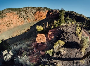
COLORADO'S YOUNGEST VOLCANO The Dotsero crater is Colorado's youngest volcano, erupting a mere 4,200 years ago. While the crater may not be as dramatic as Mt. St Helens, Mt. Baker, or other volcanos in the U.S., it's quite an unusual terrain feature to come across in Colorado, and offers some gre...Read more -
Buena Vista, Colorado
Hope Pass via Willis Gulch
5.08.75 mi / 3297 ft gainHope Pass is accessed from the Willis Gulch trailhead about 25 miles outside of Leadville, Colorado. To get to the trail head, follow Highway 24 East for about 16 miles until you arrive at the junction for Highway 82. Turn right and follow Highway 82 for about 8.3 miles. You will see a sign on th...Read more -
Gypsum, Colorado
Explore Hardscrabble Mountain
Depending where you choose to access the Hardscrabble area from, this can be a fairly easy day hike or an overnight camping trip. If looking for a shorter day hike, access the Hardscrabble area by way of Hardscrabble Mountain Rd. From the town of Eagle, head South on Sylvan Lake Rd. In 5 miles, t...Read more -
Crawford, Colorado
Hike the Chasm View Nature Trail
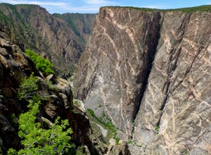
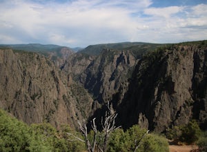
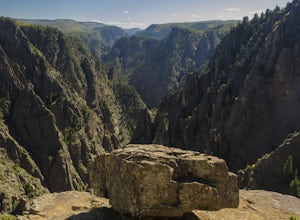
5.01 miThis easy trail is located along the north rim of the canyon and can be completed as either a short loop hike or a shorter out and back to the first overlook. You’ll find the trailhead at the North Rim Campground. The views of the canyon along this trail are fantastic, some of the best in the par...Read more -
Twin Lakes, Colorado
Kayak Twin Lakes
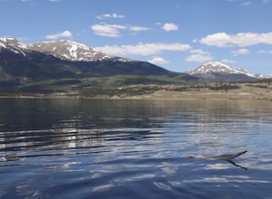
Twin Lakes are two bodies of water that are connected by a short run of water with a dam at the eastern end. There are a few different places to put in your boat including boat ramps by the access point on the east end of the lake. There is also a boat ramp and a place to seasonally rent boats by...Read more -
Buena Vista, Colorado
Mt. Belford and Mt. Oxford
4.510.34 mi / 5856 ft gainYou'll being your ascent at the Missouri Gulch Trailhead, which is located a few miles up Chaffee County Road 390, at around 9,600 feet. The trail is very clear and very well maintained, but is steeper than most trails (even quite a few of the 14er trails I've done) right from the get-go. Remembe...Read more -
Buena Vista, Colorado
Hike Missouri Mountain
5.010.5 mi / 4500 ft gainGetting there: The trail begins at Missouri Gulch TH. If you are a car camper or are trying to snag a sunrise summit, there are many many drive off sites in trees and near water before and after the trailhead. The road to get to the trailhead is not paved, but is well maintained - a super high cl...Read more -
Twin Lakes, Colorado
Camp at Twin Lakes' White Star Campground
4.5This area is located on the other side of Independence Pass from Aspen, which is only accessible during the summer, or can be reached year-round via Leadville, which is about 20 miles away along Highway 24. From Twin Lakes Village drive approximately 1.5 miles east on Highway 82 and take the exit...Read more -
Minturn, Colorado
Hike to Fancy Pass
5.06 mi / 2373 ft gainThe Fancy Pass Trail near Red Cliff is an excellent option for those looking to experience hiking in the rugged and pristine conditions of a wilderness area. This 6 mile roundtrip trail will take you into the Holy Cross Wilderness and up close and personal with towering peaks, verdant meadows, an...Read more -
Montrose, Colorado
Hike the Gunnison Route
5.02 mi / 1800 ft gainImmediately upon arriving, secure a permit to scramble down 1,800ft in one mile to the Gunnison River. There are no hiking trails below the rim of the canyon, and because of its relentless steepness and rock exposure, the only existing routes are incredibly steep and loose. To protect the delicat...Read more -
Montrose, Colorado
Drive the Scenic loop at Black Canyon of Gunnison National Park
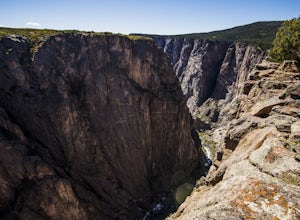
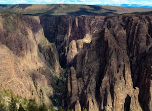
4.5The Black Canyon of Gunnison is know for 2000 foot cliffs and a beautiful raging river below. The south side of the canyon is the most popular and the easiest to get to. The visitor center is also on the south side making it convenient for information and getting souvenirs. The scenic drive also ...Read more -
Montrose, Colorado
Hike the Oak Flat Loop
5.02 mi / 377 ft gainBlack Canyon of the Gunnison is one of Colorado's four national parks. Though not as well known as Rocky Mountain or Mesa Verde, Black Canyon has no lack of views, hiking opportunities, and other must-experience natural features. The Canyon's expanse is far too large to explore in a day, but the...Read more -
Gunnison County, Colorado
Take in the Views on Cottonwood Pass
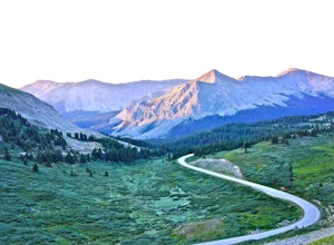
4.7Starting in the town of Buena Vista, head west on E Main Street until it turns into State Highway 306. After about 40 minutes of driving and some winding roads the Continental Divide sign welcomes you to a gravel parking lot. You can get out and hike as you please, but the view from the parking l...Read more -
Montrose, Colorado
Hike to Tomichi Point and Gunnison Point Overlooks
5.02 miTo access the South Rim of the Black Canyon of the Gunnison National Park, take US 50 and CO 347 to the south entrance, 15 miles east of Montrose. There is no bridge between the north and south rims of the canyon - make sure you enter from the Montrose side.After passing through the entrance stat...Read more -
Minturn, Colorado
Backpack the High Alpine Seven Sisters Lake Chain
12 mi / 1000 ft gainThis lake chain is in a spectacular, undeveloped bowl of jagged and rugged mountain goodness located in the Holy Cross Wilderness Area. This hidden gem is easily accessible and, to my amazement, it is relatively unheard of even among many locals. More wonderful perks included in this backpacking ...Read more -
Montrose County, Colorado
Snowshoe in Black Canyon of the Gunnison National Park
2 mi / 377 ft gainWinter is a great time to visit Black Canyon of the Gunnison National Park. Covered in snow, the canyon seems even more dramatic and sheer. The park road is plowed up until the visitor center, and there is no entrance fee in the winter. The rest of the park road is groomed for cross country skiin...Read more

