Marble, Colorado
Looking for the best photography in Marble? We've got you covered with the top trails, trips, hiking, backpacking, camping and more around Marble. The detailed guides, photos, and reviews are all submitted by the Outbound community.
Top Photography Spots in and near Marble
-
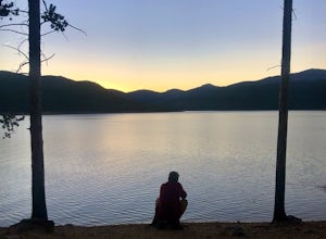
Turquoise Lake, Colorado
Escape to Turquoise Lake
5.0Turquoise Lake is an 'off the beaten path' gem only 3 hours from the Denver Metro Area. The area surrounding the lake is home to some spacious and tree-shaded campgrounds. If you plan ahead and book early, you'll have your pick of the best spots within close proximity to the lake. The campground ...Read more -
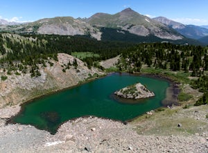
Gunnison County, Colorado
Hike to Lost Lake
4.22.4 mi / 600 ft gainThis Trail starts at about 11,200 feet right before the top of cottonwood pass. The trailhead starts at the LAST pull-off before you reach the top of the pass, so if you reach the top, you've gone too far. The hike isn't a super difficult one, but you will go through numerous streams and flooded ...Read more -
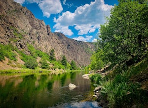
Montrose, Colorado
Drive the East Portal Road
Want an easier way to get to the bottom of the canyon without the rugged hiking trails? Drive to the bottom via the East Portal Road. Open once the harsh winter breaks, this road switchbacks its way to the bottom at the meeting place of Curecanti National Recreation area and Black Canyon of the G...Read more -
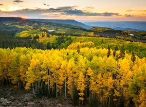
Mesa, Colorado
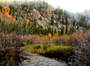
Photograph Fall Colors on Grand Mesa
Despite being one of the largest flat-top mountains in the world, Grand Mesa sees far fewer visitors than other areas of Colorado. Locals only an hour away in Grand Junction frequent the area for its plentiful fishing, camping, and off-roading opportunities, but few take advantage of its photogra...Read more -
Buena Vista, Colorado
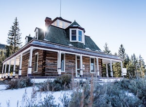
Hike to the Historical Interlaken Resort
5.06 mi / 500 ft gainFollow Colorado Highway 24 South from Leadville for 14 miles, then turn right onto Colorado 82 towards Aspen. Turn left onto County Road 25, then follow the road for 1 mile to a small parking area for the Colorado Trail. You have arrived!This trail starts near 9,200 feet of elevation and while yo...Read more -
Buena Vista, Colorado
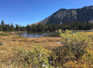
Ptarmigan Lake near Buena Vista
5.06.01 mi / 1608 ft gainWhen you begin the trail, make sure to choose the correct trailhead from the parking lot (located on the south side of the lot to the left, NOT behind the bathroom). From there, begin a moderate climb through a shaded fir forest to the tree line. Emerge in a meadow at a pond and the lower lake, ...Read more -
Mesa County, Colorado
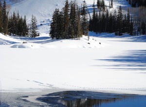
Snowshoe around Mesa Lakes
5.02 mi / 300 ft gainThis short loop trail starts and ends at Mesa Lakes Lodge, it is a little less than 2 miles round trip. From the lodge, we walked up the road towards our cabin (Bear cabin). Just past the cabin a trail starts that skirts the edge of the first lake and then winds around a few other lakes (Mesa Lak...Read more -
Parlin, Colorado
Hike to Roosevelt Mine
5.01.5 miAbandoned in 1919, Roosevelt Mine is a lost treasure of Gunnison County, Colorado. Exactly three miles outside the tiny town of Ohio City is the unmarked trailhead on the side of a road pull off for Roosevelt the mine. The trail is otherwise well established and easy to follow. The trail is a lit...Read more -
Gypsum, Colorado
Camp at Heart Lake
Ever wanted to pick a spot on the map and just GO for the weekend? That's exactly how we discovered Heart Lake. Our only recommendation is don't do it in October, when it might snow. A lot.As there's not much to do other than hike around up there, we combined the day with a morning mountain bike ...Read more -
Leadville, Colorado
Overnight at the Emma and Marceline Yurts, Leadville
11 mi / 1200 ft gainDrive past the main downtown of Leadville and then head into the mountains south of town, following Mt. Sherman Road to the Yurt parking along a ridge before you come to the Black Cloud Mine. There are signs that say "Yurt Parking". Follow the road a little further down to a jeep road just before...Read more -
Buena Vista, Colorado
Summit Mt. Yale
5.08.48 mi / 4232 ft gainThis amazing adventure starts at 9,900 feet and goes up 4,300 feet over the course of an 8.5-mile round trip. You will want to start at the Denny Creek Trailhead. If you are coming from Buena Vista or staying at the Collegiate Peaks Campground you will pass Denny Gulch and then Denny Creek. The ...Read more -
Rifle, Colorado
Explore Rifle Falls
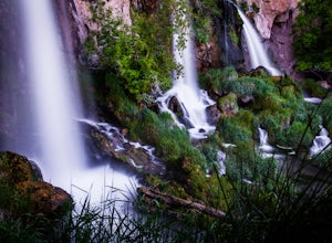
4.6RIfle Falls is located up Rifle Canyon just outside of the town of Rifle on I-70 in Southern Colorado. After driving by the sign for this gem many times on my drives from Utah to Colorado I made a short detour to check out the falls and have some lunch.The state park is small with a some short tr...Read more -
Rifle, Colorado
Hike through Rifle Falls State Park
5.01.5 mi / 70 ft gainRifle Falls State Park is situated just 14 miles north east of major Colorado highway I-70. The park offers a wide variety of activities including hiking, fishing, biking, photography, camping, and spelunking (for the especially adventurous).There are several trails at Rifle Falls, the most popul...Read more

