Breckenridge, Colorado
Looking for the best photography in Breckenridge? We've got you covered with the top trails, trips, hiking, backpacking, camping and more around Breckenridge. The detailed guides, photos, and reviews are all submitted by the Outbound community.
Top Photography Spots in and near Breckenridge
-
Idaho Springs, Colorado
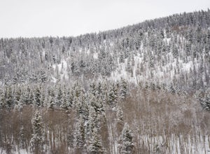
Snowshoe Jim Creek Trail
5 mi / 965 ft gainStarting at 9,220 feet of elevation, this 5 mile out-and-back snowshoe begins its 965 foot elevation gain meandering through a quiet forest. The trail will take you through the woods for a few miles, and you can turn around whenever you like. If you're up for a challenge and have a lot of time, y...Read more -
Meredith, Colorado
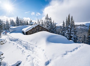
Ski Betty Bear to Skinner Hut
20.2 mi / 3650 ft gainBetty Bear and Skinner Huts reside deep in the Colorado backcountry surrounded by thick forests and snowy peaks. Both of these huts offer an opportunity for off-grid leisure and crowd-free skiing. The huts come stocked with padded mattresses, wood stoves & fuel, propane burners, all cookware ...Read more -
Twin Lakes, Colorado
Camp at Twin Lakes' White Star Campground
4.5This area is located on the other side of Independence Pass from Aspen, which is only accessible during the summer, or can be reached year-round via Leadville, which is about 20 miles away along Highway 24. From Twin Lakes Village drive approximately 1.5 miles east on Highway 82 and take the exit...Read more -
Jefferson, Colorado
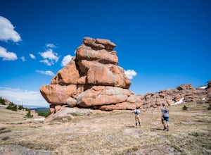
Trek through Granite Pillars on Bison Peak
12.4 mi / 4000 ft gainBison peak sits 2 hours from Denver in the mountains of the Lost Creek Wilderness. To reach the 12,431 ft. summit you'll start in low density ponderosa forest at 8,750 ft on crushed granite trail. Early starts are recommended in the summer months as the trail's high albedo can make for an extreme...Read more -
Twin Lakes, Colorado
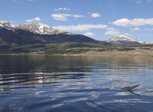
Kayak Twin Lakes
Twin Lakes are two bodies of water that are connected by a short run of water with a dam at the eastern end. There are a few different places to put in your boat including boat ramps by the access point on the east end of the lake. There is also a boat ramp and a place to seasonally rent boats by...Read more -
Basalt, Colorado
Hike to Eagle Lake, Colorado
5.05.5 mi / 1036 ft gainIf you find yourself back in the Lime Creek area just outside of Eagle, Colorado and south of Sylvan Lake State Park - you should make the time to get yourself up to Eagle Lake! The hike starts off of Brush Creek Road and follows a property line in the forest of Aspens and towering wildflowers fo...Read more -
Basalt, Colorado
Backpack & Fish at Lake Charles
11 mi / 1700 ft gainI decided to make an Outbound listing for this because the AllTrails listing is incredibly inaccurate. Hopefully you're reading this one! Your adventure starts at the trailhead of Fulford Cave / Fulford Cave Campground in Yeoman Park. Yeoman Park is just past Sylvan Lake State Park and is consid...Read more -
Meredith, Colorado
Hike to Chapman Lake
1.6 miFrom downtown Basalt, drive up the Fryingpan River Road 28 miles and turn right on CR #504, also known as Elliot Way, just before Norrie Colony. Drive across the river and up the switchbacks for approximately 3 miles. Take the left fork, continue 1 mile and take the right fork approximately 1/2 m...Read more -
Buena Vista, Colorado
Hope Pass via Willis Gulch
5.08.75 mi / 3297 ft gainHope Pass is accessed from the Willis Gulch trailhead about 25 miles outside of Leadville, Colorado. To get to the trail head, follow Highway 24 East for about 16 miles until you arrive at the junction for Highway 82. Turn right and follow Highway 82 for about 8.3 miles. You will see a sign on th...Read more -
Conifer, Colorado
Elk Falls Loop
3.512.76 mi / 1893 ft gainBegin on Staunton Ranch Trail for 3.3 miles. Switch to Bugling Elk Trail for the next 1.1 miles, then to Lion's Back Trail for the last mile to the overlook. From here, you can create the loop by backtracking to the Chimney Rock Trail, which then connects with the Elk Falls Trail. To head back to...Read more -
Buena Vista, Colorado
Mt. Elbert via Black Cloud Trail
4.510.69 mi / 4967 ft gainDirections: Heading south from Leadville from U.S. 24: West on CO 82 for 10.5 miles to a hidden right turn that leads to a trail head. If you make it to the Mt. Elbert Lodge, you have gone just a bit too far. The parking lot (aka: dirt access) should be relatively empty as everyone tends to hik...Read more -
Hartsel, Colorado
Ice Fishing Antero Reservoir
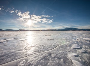
The Antero Reservoir was the first dam built on the South Platte River. The reservoir is best known for its large rainbow trout and rainbow x cutthroat hybrid trout. It's also home to brown trout, snake river cutthroat trout, cutthroat trout, brook trout, and splake.The earth filled Antero Dam wa...Read more -
Nederland, Colorado
Hike Rollins Pass to Devils Thumb
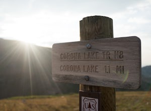
2.1 mi / 622 ft gainCorona Lake is an easy, short hike if you're pressed for time. It's scenic, secluded, and will put you in a great spot to hike to Devils Thumb the next day. There are two ways to reach Devils Thumb. This is considered the "easier" route because of the "lack of elevation gain." The sun and wind re...Read more -
Nederland, Colorado
Heart and Rogers Peak Lakes
4.88.62 mi / 2113 ft gainThe hike begins at the East Portal Trailhead outside Rollinsville. Start hiking along the South Boulder trail to the right (north) of the very obvious Moffat Rail tunnel. The trail begins with moderate grades past the Forest Lakes cutoff just 1.25 miles from the trailhead. Continue hiking straigh...Read more -
Evergreen, Colorado
Private and Tranquil Retreat at Beaver Brook Watershed
4.0Note: This is NOT the Beaver Brook Trail in Genesee Park/Lookout Mountain! If you enjoy the scenery and ambiance of Evergreen, but Evergreen Lake has become too crowded for your tastes, Beaver Brook Watershed (owned by the City of Golden) is an excellent alternative. It’s a small, secluded area a...Read more -
Nederland, Colorado
3 Crater Lakes via South Boulder Creek
5.06.92 mi / 1804 ft gainAfter turning on to Co. 16 (Tolland Rd.) from 119 at Rollinsville, drive about 8 miles down the dirt road along South Boulder Creek. The road will dead end at Moffat Tunnel where you'll find ample parking in a gravel lot with restrooms. You'll begin your hike along sweeping meadows until you ent...Read more

