Yountville, California
Looking for the best fitness in Yountville? We've got you covered with the top trails, trips, hiking, backpacking, camping and more around Yountville. The detailed guides, photos, and reviews are all submitted by the Outbound community.
Top Fitness Spots in and near Yountville
-
Lafayette, California
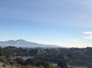
Lafayette Reservoir via Nature Area Rim Trail
5.05 mi / 758 ft gainLafayette Reservoir is perfect for canoeing, mountain biking, trail running, and hiking. The Reservoir trail system is also used for nature walks and birding. The loop has several high points that have amazing views. The trails become very muddy after wet weather - so tread with caution. Th...Read more -
Berkeley, California
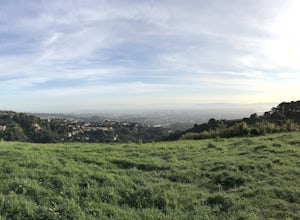
Stonewall Panoramic Trail
4.51.44 mi / 663 ft gainFrom the trailhead at Stonewall Road, the 1.5-mile trail makes for an excellent before or after-work run. But the steep hills and loose ground aren’t for those looking to find an easy nature walk. The incline starts well before the Stonewall-Panoramic trailhead, so you won’t even have time to w...Read more -
Stinson Beach, California
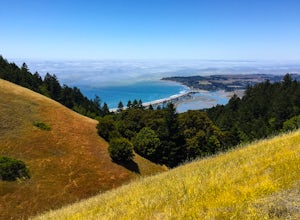
Matt Davis-Coastal Trail Loop
4.76 mi / 2231 ft gainThis hike is an alternative to the famous Matt Davis to Steep Ravine Loop. The hike starts at Stinson Beach, just behind the fire Station. I recommend parking at the Beach parking lot. The Matt Davis trail is one of the best constructed trails I have ever seen. After 2.2 miles, turn left on the ...Read more -
Mill Valley, California
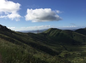
Oakwood Trail, Marin Headlands
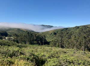
5.02.56 mi / 538 ft gainLooking to escape the hustle of San Francisco, but don't want to commit to an entire day on the trail? When setting out for this morning hike, be prepared for about 1.5 hour hiking adventure (longer if you stop for extra photos) and a 20 minute commute from San Francisco. This hike is recomend...Read more -
Mill Valley, California
Coyote Ridge Loop
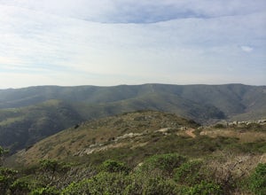
5.06.15 mi / 1001 ft gainStarting just before the Tennessee Valley parking lot, head out from the Miwok Trailhead. This Mill Valley hike offers incredible views of the San Francisco Bay, the Pacific Ocean (fog permitting of course!), and on occasion, wildlife. Unfortunately, this trail is not dog-friendly. Keep in mind...Read more -
Muir Beach, California
Owl Trail
5.01.2 mi / 300 ft gainThe Owl Trail runs between Slide Ranch and the Muir Beach Overlook and is a great way to take in the breathtaking views, flora and fauna of the Northern California coast. The easiest way to access the trail is to park at the Muir Beach Overlook and to take the trail down to Slide Ranch and then...Read more -
Sonoma County, California
Kortum Trail
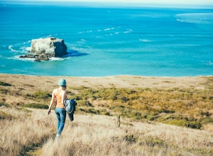
9.27 mi / 968 ft gainThe Kortum Trail in the Sonoma Coast State Park connects Goat Rock with Wrights Beach, winding along the top of the sea cliffs and affording incredible views of the California Coast and its numerous sea rocks and arches. To get there take the Pacific Coast Highway / Highway 1 to either Wright's...Read more -
Sausalito, California
Slacker Hill
5.01.02 mi / 344 ft gainAlthough the Headlands can be crowded, particularly at the parking-lot chaos of the Vista Point and pull-offs along Conzelman Road, the three routes leading to the summit of Slacker Hill remain relatively quiet, even during busy weekends. Each can be tied into larger loops throughout the Headland...Read more -
Sausalito, California
Ninja Loop
9.37 mi / 1831 ft gainThis loop can start from several different locations, including Rodeo Beach and the Golden Gate Bridge parking lot. Starting from the GGB will add 2 more miles onto this run. I like to start at the Coastal Trailhead parking lot off of McCullough and Conzelman Roads (just a notch down from Hawk Hi...Read more -
Walnut Creek, California
Castle Rock Trail
5.06.06 mi / 971 ft gainLocated near Walnut Creek, the trail is easily accessible from anywhere in the Bay Area. The trail is kept open year-round, and happens to be part of the American Discovery Trail and the Coast to Crest trail. If you are not done hiking, connecting trails allow you to summit Mt. Diablo. This tra...Read more -
Oakland, California
East & West Ridge Loop
4.53.47 mi / 833 ft gainTucked away in the hills of Oakland, you will find one of the homes of California's Coastal Redwoods. Created by a unique geographical circumstance, this forest breathes winds funneled through the Golden Gate across the bay, which created environment opportune for Redwood growth. These Redwoods a...Read more -
Walnut Creek, California
Run the Mt. Diablo Foothill Loop
5.06.2 mi / 875 ft gainContinue by car down Castle Rock Road until it dead ends at the beginning of the trail. Parking is usually easy to find. If full, there is another overflow lot about 500 ft back the way you came in.You'll walk a good half mile down the trail before getting the main gate. As you're walking, you'll...Read more -
Clayton, California
Hike the Waterfalls of Mount Diablo Loop Trail
5.06 mi / 1627 ft gainWinter and spring rains create scenic waterfalls in this hike at Mount Diablo, the East Bay's signature peak. Be careful hiking immediately post-rain, watch for slippery sections of mud. The trail is moderately difficult and is used by hikers, walking groups, trail runners, and for nature trips. ...Read more -
San Francisco, California
Aquatic Park
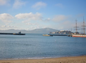
3.7Take an early morning swim and watch the sunrise over the east bay or catch an afternoon swim on a sunny SF day. A full lap around the buoys (out-and-back) is about 1/3 mile and the perimeter of the park is 1 mile. Bring your dog for a swim too! Afterward, you can head up Columbus to one of the m...Read more -
San Francisco, California
Run to Hopper's Hands
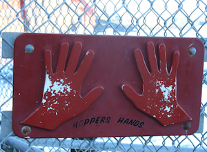
4.6Hundreds of people touch Hopper's Hands every day as a turn-around point on their runs in and around Crissy Field and The San Francisco Bay Trail. Running west through Crissy Field, passing the Warming Hut and pier, you follow Marine Drive until you dead end at Fort Point. If you continue through...Read more -
San Francisco, California
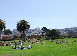
Fort Mason
4.8When the sun comes out in San Francisco, Fort Mason's Great Meadow Park transforms into ground zero for bocce ball, corn hole, wiffle ball, music, dancing, wine, and beer. While it lacks the diversity and quirkiness found at Dolores Park, it makes up for it with a beautiful panoramic view of the ...Read more

