Watsonville, California
Looking for the best photography in Watsonville? We've got you covered with the top trails, trips, hiking, backpacking, camping and more around Watsonville. The detailed guides, photos, and reviews are all submitted by the Outbound community.
Top Photography Spots in and near Watsonville
-
Moss Landing, California
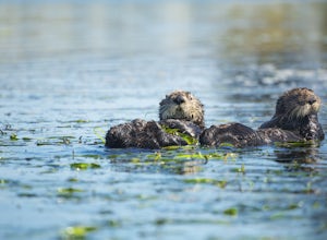
Kayak in Elkhorn Slough
4.7Elkhorn Slough is located in Moss Landing, which is in the dead center of Monterey Bay, California. Elkhorn Slough is one of California's largest wetlands and part of a National Estuarine Reserve located in central Monterey Bay, California, just a short trip from the Monterey Peninsula and the Sa...Read more -
Moss Landing, California
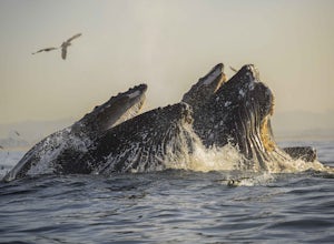
Kayak with Humpback Whales in Monterey Bay
5.0Disclaimer: Please keep a respectful distance from the whales and other sea wildlife for their protection and your own. Note, changing the animal's natural behavior is a violation of federal law.Every year, humpbacks whale migrate north from their winter and breeding grounds down in southern Mex...Read more -
Moss Landing, California
Whale Watching off Moss Landing
The Monterey Bay National Marine Sanctuary is home to some of the most diverse and rich waters in our oceans, and you have the chance to see it up close and personal! The big prize is getting to see a whale, but these waters are teeming with other wildlife from dolphins to otters to sea lions. F...Read more -
Aptos, California
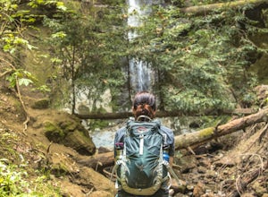
Hike to Nisene Marks' Maple Falls
4.68.5 mi / 900 ft gainAs you enter the park, you'll need to pay $8 for parking via a self-pay envelope, so it's recommended that you bring exact change. At the park booth, be sure to grab a map. The hike can be a little tricky with no cell service and limited trail signage. Once you've grabbed your map, keep driving p...Read more -
Morgan Hill, California
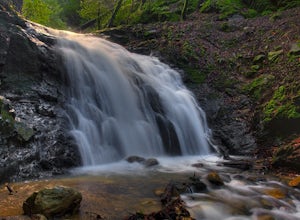
Uvas Canyon Waterfall Hike
4.01.5 miUvas Canyon offers up to 6-miles of hiking trails, which includes a 1.5 mile loop, which runs along Swanson Creek and passes many of the park's waterfalls. To take short loop, head North out of the parking lot to the Swanson Creek Trail. Once you find Swanson Creek Trail, you'll be on the Waterfa...Read more -
Marina, California
Surf, Run, or Catch a Sunset at Marina State Beach
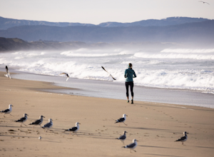
From the moment you turn into the parking lot, you know Marina State Beach is special. Grab a parking spot in the large lot and then run down the dunes and onto the shoreline! The beach feels spacious on this section of the shore and gives plenty of room to run around or to put down a blanket to ...Read more -
Santa Cruz, California
Beach Day at Lighthouse Field State Beach
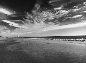
4.0This beach is less crowded compared to other beaches in Santa Cruz. I got there early on a Saturday and found easy street parking. There was plenty of space to spread out on the soft sand. Later in the day I saw dolphins several times! This is close to the Santa Cruz Surfing Museum. It’s als...Read more -
Santa Cruz, California
Natural Bridges State Beach
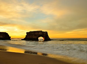
4.3Natural Bridges State Beach is a wonderful place to photograph located in Santa Cruz off of West Cliff Drive. This is a great place to practice long exposure photography to capture awesome water movement as it passes through the "Natural Bridge" formation. The best time to shoot this spot is at ...Read more -
Santa Cruz, California
Photograph Monarch Butterflies at Natural Bridges' Monarch Grove
4.3The park's Monarch Grove provides a temporary home for thousands of Monarchs. From late fall into winter they make this their home and if you time it perfectly you can see them in clusters in the trees. When you reached the Natural Bridges State Park, on the right of the Visitors Center you'll f...Read more -
Santa Cruz, California
Photograph the UC Santa Cruz Arboretum
5.0No matter the time you'll decide to visit the UC Santa Cruz Arboretum, you'll have thousands of interesting plants and birds to see and watch. The Arboretum is located on the west side of UCSC campus, between the main campus entrance and the west entrance. Parking is 5$ for adults and 2$ for chil...Read more -
Marina, California
Explore Fort Ord Dunes State Park
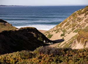
5.0One of the best parts of Monterey is the beaches – but their popularity is also their weakness, so if you want seclusion head to the lesser-known Fort Ord Dunes for solitude and beautiful views of Monterey Bay and the Pacific Coast. Historically, this location was chosen as the location for Fort ...Read more -
Santa Cruz, California
Hike the Rincon Fire Trail
5.01 mi / 300 ft gainThe Rincon Fire Trail Starts at a small dirt parking lot next to CA-9 and traverses down the mountain to the San Lorenzo River Connecting with the Pipeline Trail. The trail can be a simple one of a mile out and back or up to 5 miles depending on your preference. The elevation will change by about...Read more -
Felton, California
Observation Deck Loop in Henry Cowell Redwoods SP
4.35.3 mi / 869 ft gainThe trail starts at the Henry Cowell Redwoods State Park Visitors Center. Grab a map in the center, as your hike has you turning onto a few different trails to get to the observation deck. Starting at the Redwood Grove Loop Trail, follow the trail until it connects with the Pipeline Road Trail ...Read more -
Felton, California
Redwood Grove Loop
4.00.93 mi / 144 ft gainHenry Cowell Redwoods State Park is located just a few miles north of the city of Santa Cruz, along Highway 9. The park is home to an array of hiking and biking trails, but the crown jewel of the park is the Redwood Grove Loop Trail, which is only a 1/4 mile in from the park's entrance. Many peo...Read more -
Sand City, California
Bikepack Highway 1: Monterey to San Luis Obispo
130 mi / 9000 ft gainPlease be aware that this is NOT a route for beginning cyclist. It is a very hilly route and you will be sharing the road with cars for the entire route, the shoulder is sometimes very slim. This should not scare you from doing the trip, just be aware of the risks and dangers you might be facing....Read more -
Salinas, California
Hike or Trail Run around Toro Park
Just a short drive from downtown Monterey you will find yourself amongst the rugged yet serene hills ofToro Park. For a $2 admission fee you will have access to 20+ miles of trails that climb through canyons and run along ridgelines to peaks with views of the ocean in the distance. While the map ...Read more

