Watsonville, California
Looking for the best photography in Watsonville? We've got you covered with the top trails, trips, hiking, backpacking, camping and more around Watsonville. The detailed guides, photos, and reviews are all submitted by the Outbound community.
Top Photography Spots in and near Watsonville
-
Boulder Creek, California
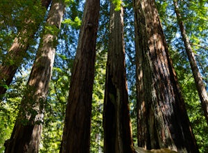
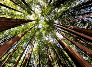
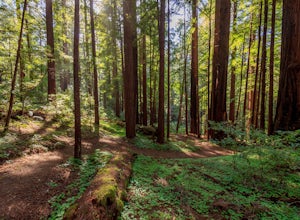
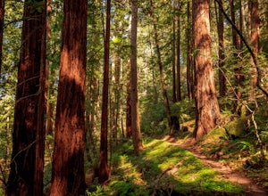
Hike the Old Growth Redwoods Trail
4.50.5 miQuick half-mile stroll through the old growth Redwoods that will show you the nature of the ever-living redwood tree.Redwoods are capable of withstanding storms, floods, fire, droughts, and even termites. These legendary trees can live for over 2,000 years and possess incredible strength, vigor, ...Read more -
Carmel-by-the-Sea, California
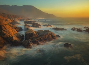
Soberanes Point
1.82 mi / 295 ft gainGarrapata State Park is located along California's Highway 1, roughly 5 miles south of Carmel, California. The park is entirely free with multiple pull-outs and serves as one of the first grand views travelers encounter while heading south from the Monterey Peninsula to southern California. Garra...Read more -
Carmel-by-the-Sea, California
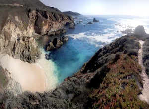
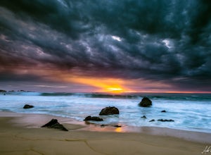
Secluded Beach Near Soberanes Point
5.00.2 mi / 40 ft gainWhen we stumbled upon this beach we were thrilled to have such great views with no crowds. There is plenty of room to lay out in the sun, you can swim in the ocean to cool off, and the beach is surrounded by beautiful landscape. If you decide to swim be very careful as the waves and currents ca...Read more -
Pescadero, California
Pick Berries at Swanton's Berry Farm
Take a spectacularly scenic drive or bike ride out to this quaint coastal berry farm. Look out onto the shimmering ocean while you pick the ripest and sweetest berries yourself. Head inside their shop to enjoy pre-made jams, pies, chocolate covered strawberries, and so much more. While you're ins...Read more -
La Honda, California
Hike Peters Creek and Long Ridge
4.05.7 miFrom the parking lot, take the connector trail towards the Peters Creek Trail for 0.4 miles. As you descend into a small valley, notice the sound of running water that appears. When you reach the first trail intersection, turn left on the Peters Creek trail. This will give you your first encounte...Read more -
La Honda, California
Hike through Portola Redwoods State Park
4.87 miLike redwood hikes? We do too, they're always very scenic and take you away from the hustle and bustle of the bay area. Not to mention, they also stay cool during the summer months. If you want a hike in the middle of the peninsula, this is a great bet.When starting this hike, head out from headq...Read more -
Carmel-by-the-Sea, California
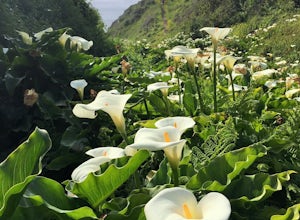
Calla Lily Valley
4.50.31 mi / 46 ft gainParking for Calla Lily Valley is available along the dirt pullout at Gate 19 for Garrapata State Park, near mile-marker 63. Signs are small and difficult to see. Follow the path between the guide wires and take the right fork, heading north to the bluff overlooking the beach. Continue north and f...Read more -
Carmel-by-the-Sea, California
Garrapata Beach
4.6A wonderful roadside beach and state park. Easy parking on both sides of Hwy. 1 with short access trails. There are almost 2 miles of coastline trails heading north and south from the parking area. The north end of the beach is great for swimming and surfing when the sea is calm and the south ...Read more -
Redwood City, California
Hike Russian Ridge
4.54 miRussian Ridge offers a great place to jump on the trail and in the right season, see some of the best wildflowers blooming. On top of that, you get access to amazing views from the ridge. Once you hit your parking space, add a little extra warm up before jumping on the trail to make this 3.7-mil...Read more -
Los Altos, California
Hike to Black Mountain and Stevens Creek Canyon
4.06 mi / 950 ft gainThis hike can be done during any season, but for the creek to be running and for more comfortable temperatures, it is best to go on a cool winter or spring day. Starting at the preserve parking lot, take the Stevens Creek nature trail, allowing you to witness spectacular views of a large, foreste...Read more -
Los Altos, California
Hike the Monte Bello Open Space Preserve Loop
4.52.9 mi / 600 ft gainThis hike is best done in the late fall, winter, and spring so that the creek is running and the hills are green. Starting at the preserve parking lot, the first half of the hike is predominantly downhill. At the main trailhead, start in the direction of the Stevens Creek Nature Trail, as told by...Read more -
Pescadero, California
Año Nuevo and Goat Trail Loop
4.03.76 mi / 761 ft gainThis steep and winding trail takes you to the top of a ridge where you can see the Pacific coastline and the redwoods piercing through the forest canopy. To do this trail connect the Ano Nuevo Trail, Olmo Fire Road, Goat Trail and the Six Bridges Trail. If you don't have all day to do the Canyon ...Read more -
Pescadero, California
Hike the Little Butano Creek Trail
1.5 miThis short hike follows Little Butano Creek through a lush redwood forest. The trail crosses the creek multiple times as you walk over redwood pine needles and through pockets of ferns. Dogs can join on this trail, but must be on leash.Read more -
La Honda, California
Hike the Brook Trail Loop
7.1 mi / 1500 ft gainThe Brook Trail Loop is a beautiful hike, starting off in Sam McDonald County Park and later entering into Pescadero Creek County Park. This adventure can be done in any season, with the trails almost entirely shaded for even the hottest summer days. Starting off from the Heritage Grove trailhead...Read more -
Pescadero, California
Hike the Canyon Rim Route in Butano State Park
5.011.7 miLocated deep within the Santa Cruz Mountains, Butano State Park boasts a large redwood canyon with many miles of hiking trails as well as campsites. This state park is one of the quietest and least visited parks on the peninsula making a perfect place to escape the hustle of the Bay Area Butano S...Read more -
San Jose, California
Catch a Sunset at Alviso Marina County Park
3.09 mi / 72 ft gainThis tranquil 20.6 acre park is open year round from 8am to sunset. It’s the gateway to the Don Edwards San Francisco Bay National Wildlife Refuge. It is filled with boardwalks, trails, and all kinds of wildlife. I went here with the sole intent of catching a pretty sunset after a long week. I g...Read more

