Watsonville, California
Looking for the best photography in Watsonville? We've got you covered with the top trails, trips, hiking, backpacking, camping and more around Watsonville. The detailed guides, photos, and reviews are all submitted by the Outbound community.
Top Photography Spots in and near Watsonville
-
Pacific Grove, California
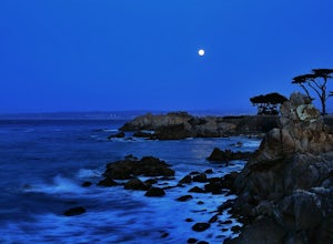
Explore Lovers Point
5.0LOVERS POINT PARK AND BEACH:According to local legend, this park was originally called "Lovers of Jesus Point," back in the era when Pacific Grove was a Methodist retreat camp. Since the late 1800s, the beach at Lovers Point in Pacific Grove has been a popular spot for boating and swimming, and o...Read more -
Pacific Grove, California
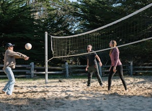
Play Volleyball at Asilomar Conference Grounds
Asilomar translates to “refuge by the sea,” a phrase that accurately depicts the Asilomar Conference Grounds. The area started as a YWCA women’s empowerment camp in 1913 and has since transitioned into a well-preserved state beach. It is located in the beautiful Monterey Peninsula. If you find y...Read more -
Monterey, California
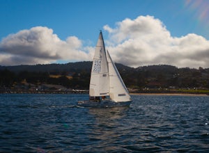
Sail on Monterey Bay
Few places along the California coast are perfectly suited for a day of sailing. While San Diego, Santa Barbara, Santa Monica, Long Beach, San Francisco, and Catalina Island offer sailing adventures, none of them offer wide open Pacific waters without dangerous commercial traffic to navigate. The...Read more -
Pacific Grove, California
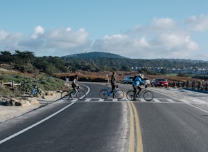
Bike at Asilomar State Beach
At Asilomar State Beach, adventure is accessible in many forms. I had the opportunity to rent a bike from Adventures by the Sea. Rentals start at $25, and while you are not permitted to ride along the boardwalk that leads you to the beach, you may walk your bike through the exquisite sand dunes A...Read more -
Pacific Grove, California
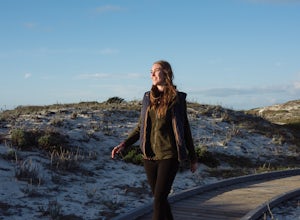
Exploring Asilomar's Ancient Sand Dunes
4.0Asilomar State Beach covers 107 acres of land. It is home to a delicate ecosystem that has been sustained through the years after it was almost destroyed. The intricate dunes at Asilomar are what have survived after the over-grazing back in the early 1900's that damaged about 480 acres of dunes. ...Read more -
Santa Cruz, California
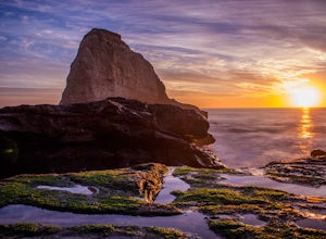
Photographing the Sunset at Panther Beach
5.0Probably my favorite beach in the Santa Cruz area. Panther Beach lies just south of Davenport along the beautiful Hwy 1. Park at a large dirt pull out on the left hand side if your heading north from Santa Cruz. The trail down to the beach is steep and not that well maintained so watch your step....Read more -
Davenport, California
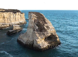
Beach Picnic at Shark Fin Cove
4.3Shark Fin Cove is a large rock formation in an inlet off Highway 1 in Northern California. It is located 1 mile south of Davenport and 10 miles north of Santa Cruz. There is a sizable parking lot located on the side of Highway 1 to park in. Walk down the path left of the parking lot and cross the...Read more -
Del Monte Forest, California
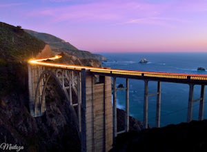
Explore Highway 1 from Carmel to Big Sur
4.6Being from the Central Coast, every time I visit the area I like to do the same trip - Simply because it is amazing. The trip starts along 17 mile drive located in Carmel. From the road, you see the Central Coast icon, the Lone Cypress. Being one of the most photographed trees in North America, i...Read more -
Carmel-by-the-Sea, California
Catch a Sunset at Carmel Beach
4.7It’s a dream of mine to live in Carmel-by-the-Sea. You might recognize Carmel because Clint Eastwood was the mayor from 1986 to 1988. An idiosyncrasy you may not know about Carmel is the fact that there are no street addresses on any house in Carmel. Everyone gets their mail at the post office...Read more -
Carmel-by-the-Sea, California
Hike along the Carmel River Beach Trail
1 mi / 100 ft gainKnown as "Ribera Beach" by locals, this stretch of land nestled between Carmel River State Beach and Monastery Beach is not to be missed! The trails are easy to get to and can be accessed by 4 locations. The first entrance is on Highway 1 at the Bay School (between Ribera Road and Monastery Beach...Read more -
Carmel-by-the-Sea, California
Hike to the Top of Inspiration Point
5.01.3 mi / 850 ft gainThis magnificent trail was recently converted into part of the Monterey Regional Parks System. Walk through pastures of cows, through coast oaks, up a steep incline with vast views of Carmel Valley, Carmel and the Pacific Ocean up to the top where a picnic table awaits you at Inspiration Point. T...Read more -
Carmel-by-the-Sea, California
Whalers Cove Loop
4.31.42 mi / 253 ft gainPoint Lobos is one of the hidden gems of the California coast. Located just off of Route 1 right after Monterey, Point Lobos is a state park on the coast. The cost to explore inside is ten dollars, but so worth it. As you explore, be sure to hike around Whalers Cove, which is incredible at sunse...Read more -
Davenport, California
Hike around Greyhound Beach and Climb Greyhound Rock
0.7 mi / 0 ft gainThe trailhead is at the Greyhound Rock State Marine Conservation Area which is directly off Highway 1. There is a large paved parking lot with a good amount of trees so finding a shady parking spot isn't that difficult (if that's important to you). The parking lot is located on the beach cliffs ...Read more -
Mount Hamilton, California
Stargaze at Lick Observatory
3.8Hop on Road 130 heading out of San Jose and follow the winding two lane road up, up, up to to the top of Mt. Hamilton and the Lick Observatory. There are lots of deer, wild turkey, and pigs in the area. If you are lucky you will get to see a herd of deer grazing in a meadow. But be careful that y...Read more -
Boulder Creek, California
Hike to Sempervirens Falls
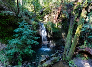
4.02.1 mi / 100 ft gainThe hike to Sempervirens Falls is an easy 2.1 mile out-and-back hike on the Sequoia Trail. You'll travel through the redwood forest and some of the campgrounds located in Big Basin State Park. The hike is pleasant but on occasion, you'll be too close to the road to feel like you're deep in the wi...Read more -
Boulder Creek, California
Camp at Big Basin Redwoods State Park
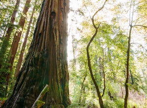
4.00.5 miBig Basin is currently closed including the campgrounds. Please visit the Parks.ca.gov site for updated details. An hour away from the thrumming city of San Jose, ancient immense trees live in a forest full of vibrant ferns and rushing waterfalls. Big Basin Redwoods State Park encompasses 10,00...Read more

