Vista, California
Looking for the best hiking in Vista? We've got you covered with the top trails, trips, hiking, backpacking, camping and more around Vista. The detailed guides, photos, and reviews are all submitted by the Outbound community.
Top Hiking Spots in and near Vista
-
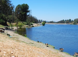
Canyon Lake, California
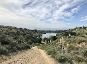
Kabian Memorial Park Loop
5.03.48 mi / 335 ft gainKabian Memorial Park Loop is a loop trail that takes you by a lake located near Quail Valley, California.Read more -
Laguna Beach, California
Aliso Peak via the Valido Trail
5.01.14 mi / 325 ft gainThe Valido Trail trailhead can be found just off West street off the Pacific Coast Highway, just south of Aliso Beach. Park on West Street past the trailhead. The trail proceeds approximate .5 miles till it intersects with the Aliso Peak Trail. Go left .4 miles to the obvious summit and wooden p...Read more -
Santa Ysabel, California
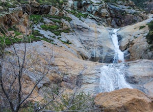
Three Sisters Falls
4.93.42 mi / 906 ft gainThree Sisters Falls is by far the best hike, for the most reward, that I've gone on in the close vicinity of San Diego. Only a short hour and a half drive from downtown San Diego, the hike offers all the draws of a National Park: remote wilderness, strenuous hiking, scenic mountain views, and ama...Read more -
San Diego, California
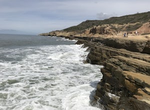
Explore Cabrillo National Monument
4.5Cabrillo National Monument is named after Juan Rodriguez Cabrillo, the first European explorer to reach America's Wet Coast. There are many knowledgable rangers in the park who are eager to share interesting historical facts. Activities in the park include hiking: the Bayside Trail offers 2 mile...Read more -
Laguna Niguel, California
Kick Back at Laguna Niguel Regional Park
This is an awesome tucked away little adventure that will have you occupied all day! With plenty of picnic tables you can be sure to have your own privacy tucked into a corner free from other people. Grab a lake side picnic table or even the numerous ones around the grass fields, they are all won...Read more -
Trabuco Canyon, California
Hike the Bellview to Dove Lake Trail
2.5 mi / 75 ft gainThis hike will be about going from the Bellview Trailhead to Dove Lake and back. Note that once you get to Dove Lake there are numerous offshoots that can take you in different directions (you can follow the road into the Dove Canyon housing community, take a paved road back to the Bellview parki...Read more -
San Diego, California
Bayside Trail
4.01.99 mi / 397 ft gainThe Bayside Trail features beautiful spring wild flowers and is accessible year-round. The trail is wide with a few rest stops and benches along the way. The trail is breezy, much cooler than many trails inland, featuring ocean views throughout the duration. This monument commemorates the landi...Read more -
Corona, California
Hike to Santiago Peak via Holy Jim
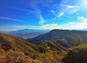
5.015 mi / 4500 ft gainWhen you think of Orange County, you think of beaches, boardwalks, but what you may not know is that there are some great hikes in our very own backyard! My favorite is a fairly strenuous day hiking adventure that only the strong survive. Not to dissuade any interested parties, since this is a ...Read more -
Corona, California
Hike to Holy Jim Falls
3.02.9 mi / 570 ft gainTo start, directions on how to get to the trail there are two different ways, the most common , which I will explain, being through Rancho Santa Margarita you will head east on Santa Margarita Parkway, turn left at the dead end (into a parking lot for a shopping center) on Plano Trabuco Road, thi...Read more -
Laguna Niguel, California
Dripping Cave in the Aliso & Wood Canyons Wilderness
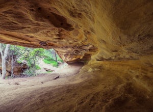
4.47.68 mi / 889 ft gainDripping Cave sits tucked away in a corner of Wood Canyon, part of the Aliso and Wood Canyons Wilderness Park, and the trail to the cave, while short, requires *at least* a 2.25 mile hike in from the nearest trailhead (West Ridge Trail to Mathis Canyon), though this is less than ideal as that rou...Read more -
Julian, California
Volcan Mountain Trail
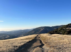
4.82 mi / 1270 ft gainVolcan Mountain Trail located near Julian, California is a moderate day hike. This well-maintained trail offers beautiful views, but keep in mind there isn't too much sun protection, so be sure to pack plenty of water and coverage on sunnier days. Dogs are permitted on the trail on a leash.Read more -
Lake Elsinore, California
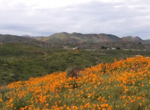
Explore Walker Canyon
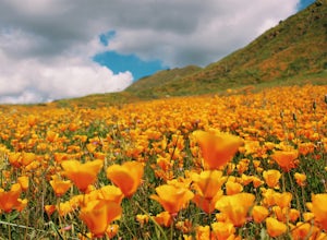
4.3Walker canyon is within easy driving distance from most places in Orange County and San Diego which makes for a great day trip. While there is no official parking lot for the trail you will be able to find parking all along Lake Street and Walker Canyon Road. The trail begins at the corner of L...Read more -
Laguna Beach, California
West Ridge to Car Wreck Trail and Mathis Canyon Loop
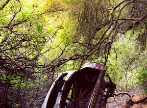
4.53.31 mi / 856 ft gainThere are numerous ways to incorporate the Car Wreck trail into a larger loop through the Laguna Coast Wilderness and Aliso Canyon Park, but a common route is to begin at Alta Laguna Park at "Top of the World" in Laguna Beach. Take the West Ridge Trail .5 miles, bearing right onto the marked Car...Read more -
Laguna Beach, California
Hike the West Ridge Trail
5.01.5 mi / 150 ft gainBeginning at Alta Laguna Park at Top of the World, the West Ridge Trail is a popular starting (and ending) point for adventures into the Laguna Coast Wilderness, leading to trails and areas like Car Wreck, Big Bend, and Willow Canyon. You can also do it in reverse from the north. The ridge itself...Read more -
Jamul, California
Hike Mt. McGinty
4.8 mi / 1263 ft gainBalancing a good workout, gorgeous views, and minimal time commitment, these 4.8-mile steep trail is definitely a San Diego point of interest, and despite its proximity to the city of San Diego, it remains a low trafficked hike. The Hike: Right away the trail weaves you through beautiful vegetati...Read more -
Aliso Viejo, California
Top of the World via West Ridge Trail
5.04.76 mi / 443 ft gainDirections to get here are pretty straight forward via the map. You park your car in a residential neighborhood along the street, and from there, you can't miss the entrance. The trail is paved for the first 100yds or so and after you make a right turn at the top, you'll be on dirt and sand the r...Read more

