Vallejo, California
Looking for the best hiking in Vallejo? We've got you covered with the top trails, trips, hiking, backpacking, camping and more around Vallejo. The detailed guides, photos, and reviews are all submitted by the Outbound community.
Top Hiking Spots in and near Vallejo
-
Mill Valley, California
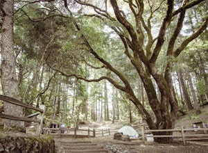
Camp at Mt. Tam's Pantoll Campground
5.0Need an escape from SF, but can't seem to find an available campground, then head to Pantoll Campground in Mount Tamalpais State Park. If you get there early on friday (or even better Thursday afternoon), you should be able to lock down one of these first-come, first-serve campgrounds. Each of th...Read more -
Mill Valley, California
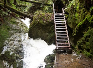
Steep Ravine Trail via Pantoll Station
5.03.96 mi / 1079 ft gainThe trailhead Pantoll Station is easy to find on GPS and there are friendly rangers there as well to answer questions.Maps: Paper map are available at the trailhead Pantoll Station in Marin, CA. For a moderate hike, I suggest going the one and a half miles down the trail to the ladder and retu...Read more -
Marin County, California
Picturesque Views from Mt. Tam's East Ridge
5.0This road provides one of the most scenic views of the pacific from north of the Golden Gate. It's a little bit of a windy drive or ride along Highway 1 or Panoramic Highway (depending on which way you choose) to get to East Ridgecrest. But, if you remembered to pack a picnic, brought your friend...Read more -
Stinson Beach, California
Cataract Trail Loop
4.58.7 mi / 1670 ft gainDuration: 3.5-4 hour hike at a moderate to quick pace with a short break for lunch. Starting at an elevation of 1989ft and maxing at 2001ft, you achieve 1428 of elevation gain through a beautiful peak and valley hike. From the free Rock Springs Parking Area, the basic trailheads to follow along...Read more -
Antioch, California
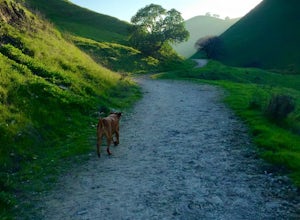
Hike the Old Homestead Loop
5.06.5 miThis is a fun day hike that takes you through the beautiful hills of the Black Diamond Mines Regional Preserve and a bit of the Contra Loma Recreational Area as well. You can hike here year round, but I suggest going in the spring time when the hills are covered in soft, green grass and the wild ...Read more -
Stinson Beach, California
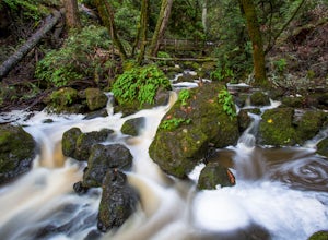
Cataract Falls
4.22.81 mi / 1184 ft gainThe Bay Area is home to many beautiful waterfalls, but Cataract Falls located about an hour north of San Francisco is one of the most stunning. Be sure to head out on this hike after a recent rain. Cataract Falls is a picturesque waterfall located in the Mt. Tamalpais Watershed near Stinson Be...Read more -
Sausalito, California
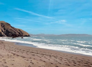
Black Sands Beach
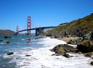
5.00.54 mi / 285 ft gainBlack Sand Beach is a beautiful, mile-long stretch of black sand just north of the Golden Gate Bridge. On a sunny day, it’s best to try and arrive in the morning, as the parking lot can fill up quickly. To get down to the beach, you’ll need to hike for about 5 minutes down 250 or so wooden steps....Read more -
Mill Valley, California
Trojan Point
4.50.25 mi / 75 ft gainThe endlessly scenic Trojan Point can be reached by taking the Panoramic Highway to Pantoll road from Stinson Beach to the west, or Mill Valley / Highway 1 to the east. It can also be reached by taking West Ridgecrest Boulevard from the north from the Fairfax-Bolinas road. Park at the large par...Read more -
Walnut Creek, California
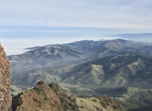
Camp at Juniper Campground in Mount Diablo SP
Mount Diablo's summit in Mount Diablo State Park rises to 3,848ft, with Juniper Campground in Mount Diablo SP is at approximately 3,000ft in elevation. Juniper Campground overlooks the valley below and some of the San Francisco Bay. Reservations for Juniper Campground can be made at Reserveamer...Read more -
Walnut Creek, California
Juniper to the Summit Loop Trail and Meridian Ridge
6.56 mi / 2037 ft gainJuniper to the Summit Loop Trail and Meridian Ridge is a loop trail that is strenuous located near Diablo, California.Read more -
Mill Valley, California
Miwok, Marincello and Bobcat Trail
8.17 mi / 1391 ft gainMiwok, Marincello and Bobcat Trail is a loop trail that takes you by a river located near Sausalito, California.Read more -
Mill Valley, California
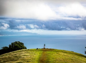
Rodeo Cove to Point Bonita Lighthouse
5.03.64 mi / 568 ft gainIf you're looking for a little hike and a lot of beach, you'll find your ideal combo at Rodeo Beach and Point Bonita Lighthouse. Park at the Marin Headlands Visitor Center at the head of the 0.8 mile trail to the beach. From the lighthouse to the beach, it will be another 1.5-2 miles there and ba...Read more -
San Francisco, California
Batteries to Bluffs Trail
4.82.33 mi / 417 ft gainThe Batteries to Bluffs Trail in the Presidio is a true gem of San Francisco. It has everything you could want in a hike: a sea-side path along the ocean, relatively easy parking, gorgeous views of the Golden Gate Bridge, and a secluded beach that's perfect for picnics, sunbathing, and enjoying t...Read more -
San Francisco, California
Lover's Lane, Ecology, Mountain Lake Trail Loop
4.52.04 mi / 344 ft gainTucked into a corner of the Golden Gate National Recreation Area is the Presidio, a beautiful little oasis of forests, beaches, and sweeping views that locals love. While the coastal trails get most of the attention here, the park covers 300 acres of prime real estate with lots of notable attract...Read more -
Muir Beach, California
Pirate's Cove
5.03.43 mi / 856 ft gainPirate's Cove is an out-and-back trail where you may see wildflowers located near Mill Valley, California.Read more -
Mill Valley, California
Hill 88 Loop
4.05.5 mi / 1086 ft gainThis quick, yet challenging trail run is located just minutes north of the Golden Gate Bridge. Grab your dog (on-leash), park in the large lot next to Rodeo Beach and hit the trail! The climb starts up the Coastal Trail to the right end of the parking lot if you're staring at the beach. Take the...Read more

