Sierra Nevada, California
Top Spots in and near Sierra Nevada
-
YOSEMITE NATIONAL PARK, California
4.5
5.07 mi
/ 1400 ft gain
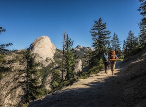
The hike begins at Glacier Point. Find the marker for the Panorama Trail just beyond the viewing steps (to the right, if you’re looking at Half Dome). The first section of the hike will be lined with open views of Half Dome, Vernal Falls and Nevada Falls. It will be hard not to stop to listen ...
Read more
-
Tuolumne County, California
4.2
2.67 mi
/ 653 ft gain
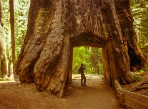
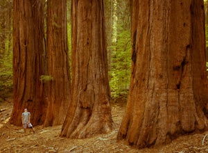
The Tuolumne Grove of Giant Sequoias is one of three sequoia groves in Yosemite National Park. This particular grove has gorgeous forest scenery and provides great solitude compared to the crowded Yosemite Valley. The trail used to be an old road offering a wide path with a gradual descent, makin...
Read more
-
Yosemite Village, California
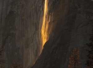
Over 5 million visitors flock to Yosemite National Park in California's Sierra Nevada Mountain Range every year to take in the geological splendor. While most visitors get to see the park's waterfalls, very few ever get to witness the Firefall. For two weeks between mid-late February, a small wat...
Read more
-
Lee Vining, California
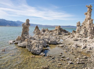
Mono Lake is was formed at least 760,000 years ago, making it one of North America's oldest lake. Explore the coastline of this unique lake filled with unusual rock formations called tufas. Photograph the tufa towers with the majestic mountains in the background. The towers can make for some very...
Read more
-
Tuolumne County, California
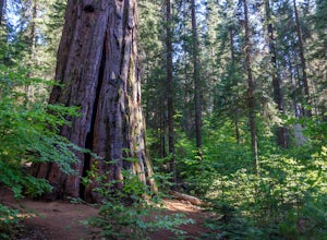
The South Grove Trail of Calaveras Big Trees State Park sees far less traffic than the North Grove due to its increased mileage and distance from the park entrance. The trail starts at the South Grove Trail head which is located nine miles east of the entrance on the main park road. The trailhead...
Read more
-
YOSEMITE NATIONAL PARK, California
4.0
16.07 mi
/ 5568 ft gain
A Yosemite Valley trip in May has tourist filled buses, noisy car alarms, and crowded trails written all over it. Thus, I wanted to avoid the beaten path. Looking into possible destinations, John Muir once said in regards to Eagle Peak, "where the most comprehensive of all the views to be had on ...
Read more
-
Yosemite Village, California
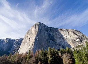
After entering the park, keep driving the loop until you get onto Northside Drive, and then park once you are right below El Capitan (the 3,000ft granite monolith that is very hard to miss).Once you've parked, grab a blanket, snacks, and a beverage. With these items in hand, walk over to the eas...
Read more
-
Mariposa County, California
5.0
3.32 mi
/ 600 ft gain
Merced Grove is technically the smallest and most secluded of the three sequoia groves found in Yosemite National Park, which lends itself to be less crowded offering a peaceful solitude hike. The trailhead is located at the Merced Grove parking lot on Big Oak Flat Road. This trail begins by foll...
Read more
-
Mariposa County, California
4.0
23.85 mi
/ 6942 ft gain
Start from Glacier Point around 7,200 feet leaving on the Panoramic Trail. Head down 2 miles to Illilouette Falls (5,800 feet). Once you cross the bridge at Illilouette Falls you go up Panorama Point and head back down to Nevada Falls (5,971 feet). Once you reach Nevada Falls fill up on as much w...
Read more
-
Mariposa County, California
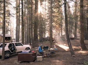
Crane Flat Campground is located on the Big Oak Flat Road (Highway 120) just west of Crane Flat, about 30 minutes northwest of Yosemite Valley. Sites are open July-October at $26/night. More info at https://www.nps.gov/yose/plany...
Read more
-
Mariposa County, California
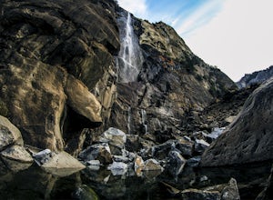
Since most things you want to see in Yosemite require a hike, this place is a nice change to see something without having to walk for hours. From the parking lot it is just about a 10 minute walk to the falls.If you scramble up the rocks, you can get a nice view of the falls and the pond. It used...
Read more
-
YOSEMITE NATIONAL PARK, California
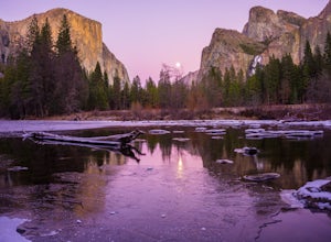
Valley View is a must stop viewpoint in Yosemite National Park. Most people visit Valley View on their way out of the park as it is the last stop, located along the one-way Northside Drive. Look for a small parking area to your left just before Pohono Bridge. There are only about a dozen parkin...
Read more
-
YOSEMITE NATIONAL PARK, California
4.9
2.35 mi
/ 200 ft gain
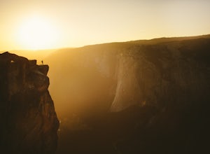
Taft Point is such an amazing and different view of the Yosemite Valley. If you're lucky and you time it right, you'll also experience complete solitude.
While driving Glacier Point Road, just a few minutes before arriving at Glacier Point, you'll see a parking lot for the Taft Point Trailhead. ...
Read more
-
Mariposa County, California
5.0
2.15 mi
/ 400 ft gain
One of the most popular places in Yosemite for sunset is Glacier Point, but by walking one mile from the trailhead, the crowds quickly dissipate. Sentinel Dome is great for all ages since the trail is short and not too steep. Park at the Sentinel Dome trailhead, about 3 miles from the end of Glac...
Read more
-
Mariposa County, California
5.0
5.17 mi
/ 1076 ft gain
SENTINEL DOME & TAFT POINT TRAILHEAD: About an hour drive from Yosemite Valley campgrounds. This trailhead is an intersection of the starting point of the Taft Point trail and Sentinel Dome trail. It is a short walk (and visible) from the parking lot. In doing both trails, it would be an esti...
Read more
-
Mariposa County, California
Tunnel View sets you up for an iconic view of some of the major highlights of the Yosemite valley including Bridal Veil Falls, El Capitan and Half Dome in the distance. To access the viewpoint, from Northside Dr., turn right onto Wawona Rd. You'll continue on Wawona Rd. up until you see you parki...
Read more


