Sierra Nevada, California
Top Spots in and near Sierra Nevada
-
Mariposa County, California
4.7
9.17 mi
/ 3491 ft gain
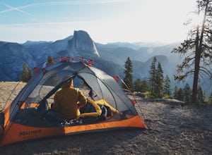
Everyone that knows Yosemite, knows Glacier Point. An overlook that attracts thousands of people per day that drive up via Glacier Point Road is rarely vacant of the hustle and bustle of people. However, there is a loop hole here, and when the stars align you can have Glacier Point ALL to yoursel...
Read more
-
Mariposa County, California
5.0
9.59 mi
/ 3200 ft gain
Glacier Point is one of the highlights of Yosemite. The point is located at the end of Glacier Point Road. This viewpoint allows you to survey the entire Yosemite Valley and gives the viewer a captivating sight of Half Dome. It's a little bit of a tourist trap (especially during the summer season...
Read more
-
Mariposa County, California
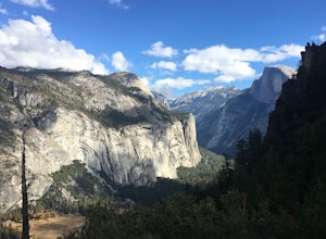
Four Mile Trail is steep, but hikers efforts are more than rewarded. Union Point sits above Yosemite Valley at 6,332 feet - offering sweeping views of El Capitan and the valley entrance to the left, and North Dome / Half Dome & Clouds Rest to the right. You can also see Yosemite Falls straigh...
Read more
-
Mariposa County, California
4.6
13.88 mi
/ 4800 ft gain
First things first. You will need to get a wilderness pass by entering the lottery for Half Dome access. If you don't get a pass via lottery just go to the Yosemite Valley visitor center, tell the clerk you are backpacking to Little Yosemite Valley and that you would like to hike up Half Dome. Th...
Read more
-
37.732842,-119.557782
4.8
16.87 mi
/ 3200 ft gain
The Panorama Trail is an outstanding hike that takes you from the Yosemite Valley floor up to Glacier Point. Or you can hike it downhill going from Glacier Point to Yosemite Valley. You can camp and make it an overnight trip or do it as a day trip by leaving a car at one end and taking a park sh...
Read more
-
Mariposa County, California
Vernal Fall Foot Bridge Trail via Mist and John Muir Trail is a loop trail that takes you by a waterfall located near Yosemite Valley, California.
Read more
-
Yosemite Valley, California
4.9
3.11 mi
/ 1319 ft gain
This is one of the most epic short hikes that you can do in Yosemite. Highly recommend it for anyone staying in the valley or visiting with enough time for a 2-3 hour hike. While the distance isn't long, you will stop a lot along the way to take in the beauty and also spend time at the top of the...
Read more
-
Alpine County, California
The Sisters offer a great day hike with fun scrambling and beautiful views of the Northern Sierra, Lake Tahoe, the Mokelumnee Wilderness, and the Carson River Canyon.The trail to The Sisters begins at Woods Lake (38.6855° N, 120.0095° W), at the end of Woods Lake Road off Highway 88, 1.5 miles we...
Read more
-
-
Lee Vining, California
If you are visiting Mono Lake, the Panum Crater Trail is not to be missed! From 395, take highway 120 east for about 2.5 miles. Look for a small wooden sign for Panum Crater and turn left onto a dirt road. If you reach the turn-off to the South Tufa Area, you have gone too far! After about a mile...
Read more
-
Alpine County, California
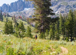
This hike begins near the Woods Lake campground. Start off by hiking towards Winnemucca Lake. You will begin your journey going through the forest beside a crystal-clear stream. Soon the trail opens up to become more open, full of all colours of wild flowers. You follow this breathtaking trail up...
Read more
-
Lee Vining, California
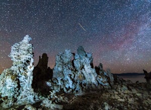
This past spring, I got the urge to photograph the Milky Way over the other-worldly landscape of Mono Lake, a large, desert saline lake at the edge of the eastern Sierras in California. One of the the lake's defining features is it’s incredible tufa rock formations, a variety of limestone. The e...
Read more
-
June Lake, California
5.0
3.55 mi
/ 584 ft gain
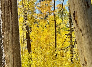
Parker Lake is tucked beneath the giant mountains of Mount Wood, Mount Lewis, and Parker Peak. I hiked the Parker Lake trail during peak foliage season and I was blown away by the amazing fall colors. The trail starts off with a steady and rocky climb. After you pass the elevation gain, the trail...
Read more
-
Mariposa County, California
Glacier Point gives you a classic view of Half Dome and Yosemite Valley. You can get a different perspective of Half Dome if you jump on any of the trails heading out of Glacier Point. Illilouette Falls trail gives you a different view of Half Dome. This trail is around 4-5 miles round trip fro...
Read more
-
Mariposa County, California
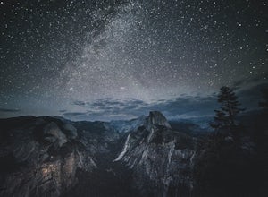
The summer months of June, July, and August tend to provide the best views of the stars, and particularly in August during the meteor showers. Amateur astronomers often gather on Saturdays during the summer, and provide first hand knowledge and guidance. Glacier Point can accommodate hundreds of ...
Read more
-
Mariposa County, California
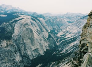
Yosemite's Panorama Trail is undoubtedly one of the most scenic and worthwhile trails in the entire national park. The stretch that reaches from the valley floor to the top of Glacier Point involves 8.5 miles and a monumental amount of elevation gain. If you want to see the entire stretch of trai...
Read more

