Sierra Nevada, California
Top Spots in and near Sierra Nevada
-
Mariposa County, California
Step 1: Get Wilderness Permit from the Wilderness Office the day before! Permits are free and required.
This trail is a Point-to-Point trail so make sure you have a shuttle situation figured out (or you can always hitch hike). The best option is to get dropped off at Tunnel View so that you don'...
Read more
-
Mariposa County, California
5.0
9.25 mi
/ 2979 ft gain
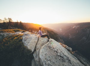
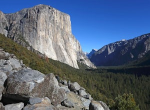
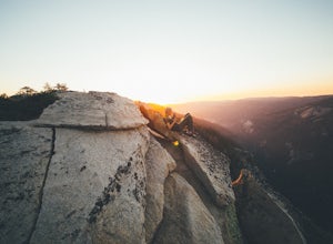
Dewey Point lies on the western side of the Pohono Trail, across the valley from El Capitan and above Cathedral Rocks. When I was there in September, it was deserted but for a few birds drifting on the thermals above the cliffs. The sunset was stunning. It felt like there was nothing between me a...
Read more
-
Mariposa County, California
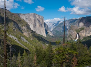
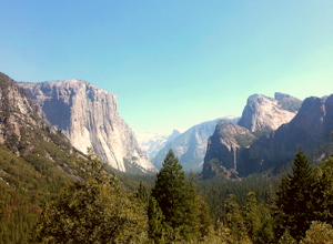
Park at the Tunnel View parking lot. The Pohono Trail, which you fill follow for the first half mile, starts on the left side of Wawona Tunnel. You should notice a small path starting from the parking lot. The trail quickly ascends up a series of switchbacks before reaching a junction. If you...
Read more
-
Mariposa County, California
Beginning at 4400 feet of elevation in the bottom of Yosemite Valley, this trail will take you up about 3000 feet over 13 miles. You'll finish the hike at Glacier Point and be richly rewarded with one of the most spectacular views of Half Dome in the park.If you are interested in seeing landmarks...
Read more
-
Mariposa County, California
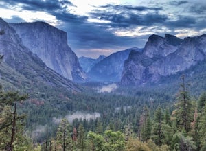
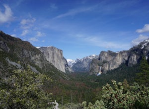
Inspiration Point is a granite slab located on the mountainside above Tunnel View. Hiking to this scenic point will provide you with the same views you would get from Tunnel View with less people around. Hiking this trail can also take you to different parts of Yosemite if you're so inclined (Bri...
Read more
-
Groveland, California
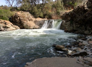
Finding Rainbow Pool is a little tricky, since it is off the side of a highway, but when you find it there is parking and bathrooms. There is a easy walkway to get down to the pool itself, and trails to climb to the top to slide or jump off the rocks. Many people tend to fish up top underneath th...
Read more
-
Mariposa County, California
Turtleback Dome will provide you with views of southern Yosemite and the Valley in a less crowded area. This hike on a service road is relatively easy with a slight elevation gain over the entire 0.7 miles.
To get to the Trailhead, take Wawona Road north towards the valley. Use the referenced poi...
Read more
-
Mariposa County, California
Old Big Oak Flat Road used to be one of the main entries into Yosemite Valley, before HWY 120, 140 and 41. It was a dangerous road which had to be realigned, reconstructed and maintained continuously and was eventually closed in the 1940’s after a giant rockslide made it completely irreparable. T...
Read more
-
Arnold, California
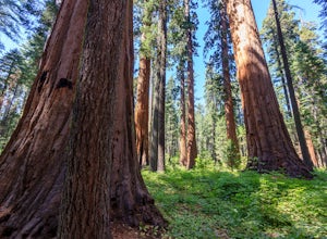
When thinking of the iconic Sequoias of the Sierra Nevada, one usually thinks of Yosemite and Sequoia National Park. However, there is a often forgotten area of Giant Sierra Redwoods that gets far less traffic than the more popular groves. The North Grove Trail takes you through a grove of over 1...
Read more
-
Markleeville, California
5.0
8.71 mi
/ 971 ft gain
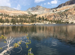
This is an awesome out-and-back hike for the weekend warrior. The trail begins at the western-most point of Caples Lake, and takes you to Emigrant Lake.
The first 2/3 of the trail is rather flat and appropriate for all skill levels. The last mile up to the lake schleps up the hill, and has some ...
Read more
-
Pioneer, California
Take the road to Kit Carson Lodge. When the road turns to dirt, take this one-lane dirt road as far as you can go. The road terminates into a round parking area, however, as of the writing of this post, there was a large tree blocking the road about 250 ft before the end.The Trailhead is clearly ...
Read more
-
Pioneer, California
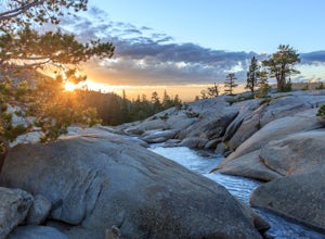
This fantastic camping or chilling spot has beautiful granite pools and slides of all sizes. The area consists of a river flowing over a granite slab creating pools some of which are over ten feet deep. The water cascades down the granite in small water falls. The area is located next to Silver L...
Read more
-
South Lake Tahoe, California
5.0
7.3 mi
/ 2474 ft gain
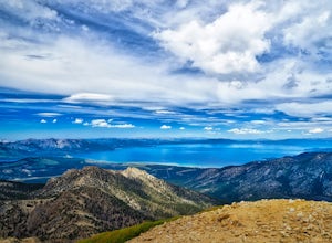
Mt. Tallac may be one of the Lake Tahoe Basin's most famous peaks to hike because of its fantastic views of Lake Tahoe, but my personal favorite view in Tahoe is from the top of Freel Peak or Jobs Sister. Freel Peak is the tallest peak in the Lake Tahoe Basin at 10,881 feet.From the top of Freel...
Read more
-
Mariposa County, California
The hike begins at Mono Meadows trailhead along Glacier Point Road, first descending 2.8 steep miles to Illilouette Creek. Above the Illilouette Junction, take in views of the Valley's granite domes before beginning the post-burn forested slog. The trail covers an additional 10 miles of relativel...
Read more
-
Wawona, California
This approximately 5-mile out-and-back trail is a great hike in Yosemite National Park. This trail starts off of Dewey Point's Meadow Trail, but you can also start from the Dewey Point Ridge trail, which you'll pass first when coming up Glacier Point Road. This trail is not dog friendly, but is a...
Read more
-
Lee Vining, California
June Lake never ceases to amaze. In just about any weather, this particular portion of the 395 is something to be experienced in its entirety.If you are dedicating a day or two to explore the June Lake loop, then a trek to Agnew Lake is the perfect hike to throw into the plans. It is not extremel...
Read more

