Mount Laguna, California
Mount Laguna, California, is a top location for outdoor adventurers and those seeking an unforgettable and exciting experience. With its breathtaking views, numerous trails, and a variety of outdoor activities to enjoy, it's a must-visit for anyone who appreciates nature. Popular attractions include the Pacific Crest Trail, which stretches from Mexico to Canada, as well as the Mount Laguna Observatory and the nearby Anza-Borrego Desert State Park. There are also many other trails and activities to explore, such as mountain biking, horseback riding, rock climbing, and bird watching. Mount Laguna has something for everyone, offering a unique outdoor experience that is sure to be memorable.
Top Spots in and near Mount Laguna
-
Santa Ysabel, California
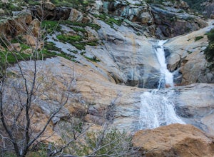
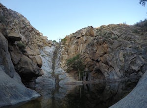
Three Sisters Falls
4.93.42 mi / 906 ft gainThree Sisters Falls is by far the best hike, for the most reward, that I've gone on in the close vicinity of San Diego. Only a short hour and a half drive from downtown San Diego, the hike offers all the draws of a National Park: remote wilderness, strenuous hiking, scenic mountain views, and ama...Read more -
San Diego County, California
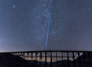
Hike to the Goat Canyon Trestle
5.07 miThe main attraction of this hike is the wooden trestle. This engineering marvel was built in 1932 and still remains the tallest and longest curved wooden trestle in the U.S.This hike is recommended for the physically and mentally prepared. From Mortero Palms, it's a 3.5 mile (7 miles roundtrip) t...Read more -
Campo, California
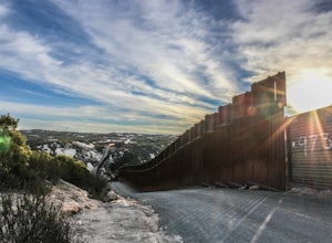
Photograph the Mexican Border on the PCT Southern Terminus
4.5From San Diego head East on Hwy 8 for roughly 60 miles to Buckman Springs Road (Exit 51). Take a right on Buckman Springs road an drive South for 10 miles. Turn right on CA-94 W (Campo Rd) and drive for 1.5 miles. After crossing the railroad tracks turn left on Forrest Gate Road. Take this road f...Read more -
Julian, California
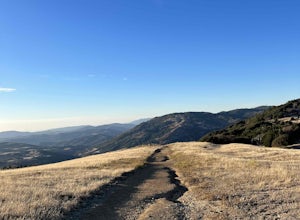
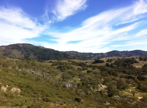
Volcan Mountain Trail
4.82 mi / 1270 ft gainVolcan Mountain Trail located near Julian, California is a moderate day hike. This well-maintained trail offers beautiful views, but keep in mind there isn't too much sun protection, so be sure to pack plenty of water and coverage on sunnier days. Dogs are permitted on the trail on a leash.Read more -
San Diego County, California
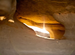
Exploring Anza Borrego's Wind Caves
4.8The drive to the caves is pretty lengthy, so be prepared.First you will drive through Anza Borrego State Park on Highway 78, then on a Split Mountain road which eventually turns into gravel road, and you need to look out for the entrance to the wash-road (which if you like to off road, is a perfe...Read more -
Ramona, California
Cedar Creek Falls
4.85.52 mi / 1024 ft gainThe trail to Cedar Falls starts out at a hill in a residential area and ends in an unexpected spot where there is a beautiful waterfall complete with a swimming hole. Surrounded by 75-foot-high cliffs, a magnificent waterfall splashes into a pool known as the Devil’s Punch Bowl. Hikers have been ...Read more -
Borrego Springs, California
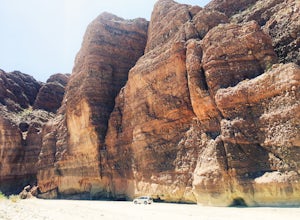
Off-Road through Split Mountain in Anza Borrego
4.011 mi / 0 ft gainFor all you desert lovers- this is a must. Or for all you SD residents that want to try something new and take a break from the populated trails within the county- spend a day in Anza Borrego and include this on your list.This state park is just a quick jaunt outside of the town of Julian. This m...Read more -
Santa Ysabel, California
Hiking in Santa Ysabel
3.0Starting at the trailhead on Hwy 79, enter through the gate and make sure to close it behind you - the preserve is open range area for herds of cows, make sure not to disturb them when hiking. From the gate you'll see the sign with a detailed map of trails that are available for hiking. The trail...Read more -
Borrego Springs, California
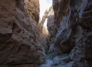
The Slot
4.72.2 mi / 266 ft gainHiking The Slot From the parking lot, you will take the trail into the canyon that is directly in front of you. This will be the hardest and steepest part of the hike. There are no trail markers for the Slot. You can take the trail to the right of the parking lot very briefly, but make sure or y...Read more -
Borrego Springs, California
Hike to Maidenhair Falls via Hellhole Canyon in Anza Borrego Desert State Park
5.1 mi / 974 ft gainThis 5.1 mile hike begins near the visitor center of Anza Borrego Desert State Park and gains 974 feet of elevation while climbing up a canyon to a small waterfall. It is an interesting hike as you can see the plant life change as you get closer to the waterfall. There are parts where the trail g...Read more -
Jamul, California
Hike the Hollenbeck Canyon Trail
4.6 mi / 626 ft gainThe trail is wide and well maintained. The first mile of the trail is well shaded by oak trees. You'll see stunning rocky peaks and rolling green hills as the trail continues. There are three creek crossings to be aware of. Cleveland National Forest is dog friendly, but bring a leash! Hunting is ...Read more -
Lakeside, California
Hike El Cajon Mountain
4.512 mi / 4100 ft gainThis challenging trek is a great way to get in shape for that spring or summer trip to the Sierras. You may have heard others tell you how tough the hike is and they're not kidding. You'll be gaining 4100 feet over the 12 miles to the peak and back. If you have the time and the energy, you should...Read more -
Lakeside, California
Hike the Oakoasis Open Space Preserve
2.5 mi / 300 ft gainStarting at the trail-head, head down towards the oak-lined ravine marking the beginning of the hike. With trees already growing back from the 2003 fire, these sections of the trail are nice and shady, and quite relaxing. About 1 mile in you will start to see the San Vicente Reservoir to your lef...Read more -
Ramona, California
Explore the Sutherland Dam
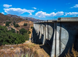
2.01 miOnce your on Sutherland Dam Rd, follow it until your right next to the dam. Park on the side of the road where you see a small turn-out. Walk down to the side of the dam and drop down onto the concrete flooring of the dam. Walk on-top where allowed, and check out the views of the lake and the mo...Read more -
Borrego Springs, California
Hike the Panorama Overlook in Anza Borrego Desert State Park
1.6 mi / 636 ft gainThis is an out and back 1.6 mile round trip with 636 feet of elevation gain. The top has excellent views of Anza Borrego. It is close to the visitor center.Read more -
Borrego Springs, California
Camping in Anza-Borrego State Park
5.0With over 600,000 acres, Anza-Borrego Desert State Park is the largest state park in the contiguous United States. 500 miles of dirt roads, 12 wilderness areas and miles of hiking trails provide visitors with an unparalleled opportunity to experience the wonders of the Colorado Desert. The park i...Read more

