Mount Laguna, California
Looking for the best chillin in Mount Laguna? We've got you covered with the top trails, trips, hiking, backpacking, camping and more around Mount Laguna. The detailed guides, photos, and reviews are all submitted by the Outbound community.
Top Chillin Spots in and near Mount Laguna
-
Mount Laguna, California
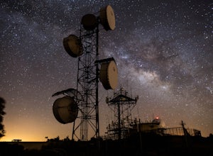
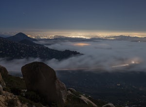
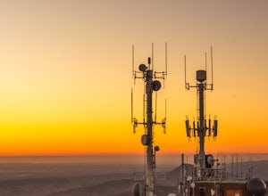
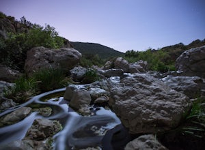
Night Shoot at Mt. Laguna USAF Station
This is a great stop when passing through the Anza Borrego Desert. The drive is very scenic, and passes through Sunrise Highway. Once you turn off the road, it's a very short drive up the hill where you will find a large spot to leave your car. There is a service gate that you can't drive through...Read more -
San Diego County, California
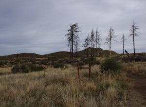
Hike Garnet Peak Trail
3.02.6 mi / 500 ft gainWhile there are a few trail options, the designated Garnet Peak Trail begins off of Sunrise Highway at Mile Marker 27.8. There is a small pull-off on the east side of the road with a sign denoting the trail. An Adventure Pass is required for parking in this area of Cleveland National Forest.The f...Read more -
Campo, California
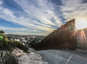
Photograph the Mexican Border on the PCT Southern Terminus
4.5From San Diego head East on Hwy 8 for roughly 60 miles to Buckman Springs Road (Exit 51). Take a right on Buckman Springs road an drive South for 10 miles. Turn right on CA-94 W (Campo Rd) and drive for 1.5 miles. After crossing the railroad tracks turn left on Forrest Gate Road. Take this road f...Read more -
Borrego Springs, California
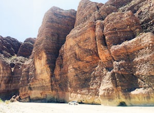
Off-Road through Split Mountain in Anza Borrego
4.011 mi / 0 ft gainFor all you desert lovers- this is a must. Or for all you SD residents that want to try something new and take a break from the populated trails within the county- spend a day in Anza Borrego and include this on your list.This state park is just a quick jaunt outside of the town of Julian. This m...Read more -
Jamul, California
Hike the Hollenbeck Canyon Trail
4.6 mi / 626 ft gainThe trail is wide and well maintained. The first mile of the trail is well shaded by oak trees. You'll see stunning rocky peaks and rolling green hills as the trail continues. There are three creek crossings to be aware of. Cleveland National Forest is dog friendly, but bring a leash! Hunting is ...Read more -
Borrego Springs, California
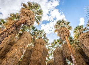
Hike through Borrego Palm Canyon
5.03.25 mi / 450 ft gainBorrego Palm Canyon Trail is located just north of the park visitor center, making it a convenient place to begin your exploration of the Anza-Borrego Desert. To reach the trailhead, drive through Borrego Palm Canyon Campground, the largest developed campground in the park, where an $8 day use fe...Read more -
Borrego Springs, California
Anza Borrego Metal Sculptures
4.6Here's a map I made that marks where most of the sculptures are (here). First, you enter the park and drive through the little city of Borrego Springs. There will be a roundabout you can't miss, so you know you're on the right path. There is nowhere to park to get to the sculptures specifically,...Read more -
Borrego Springs, California
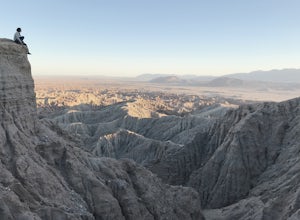
Catch a Sunset at Fonts Point
4.04 miThe best time to go to Fonts point is right before the sun sets. It is located in the desert, so be sure to dress warmly and bring a blanket or two.In order to get to Fonts Point, you'll have to drive through roughly 4 miles of sand and rocks. 4x4 is strongly recommended, but keep an eye on road ...Read more -
Ramona, California
Mount Woodson's East Approach
3.03.96 mi / 1385 ft gainMount Woodson is a well-known hiking trail in San Diego County. It is known for its breathtaking views and the famous potato chip rock. The Trail on the east side of the Mountain is fairly steep but is about half the distance of the trail on the west side of the mountain. To get to the trail on ...Read more -
Santee, California
Cowles Mountain via Big Rock Trail
4.04.86 mi / 1207 ft gainStarting somewhat near sea-level, Cowles Mountain via the Big Rock Trail climbs about 1000 ft in elevation. This trail is about 5 miles total, out and back. Arrive at Big Rock park which has good parking. At the park you will walk to the left of the tennis courts past the limits (the fence) of...Read more -
Santee, California
Cowles Mountain via Big Rock Road
4.54.32 mi / 1109 ft gainStart by plugging 8125 Arlette St, Santee, CA into your GPS. This takes you to Big Rock Park, a convenient parking spot for the Cowles Hike. From here you want to walk through the park, and around the right side of the tennis court. This will take you to the fenced entrance to the hike. Head sout...Read more -
Poway, California
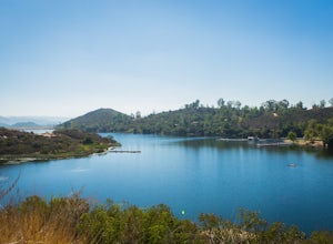
Relax at Lake Poway
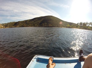
4.0It costs $5 to enter the park and they are open 6am to sunset everyday. There is plenty of parking and this park is huge! This place has so many outdoor recreational activities such as fishing, hiking, running, archery, feeding ducks, or just having a picnic. With so many possibilities in this on...Read more -
La Mesa, California
Catch a Sunset at Lake Murray
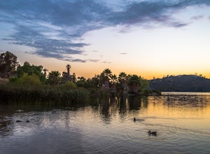
Lake Murray Reservoir provides drinking water to parts of San Diego, and thus is a no swimming lake. This is one of the reasons it is such a great place to photograph! If you are shooting the sunset, use this app to check the time the sun sets, and get to the lake at least 30 minutes prior to set...Read more -
San Diego, California
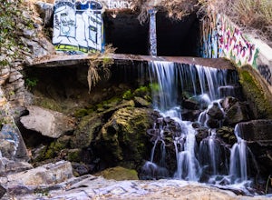
Explore Chambers Hidden Dam and Waterfall
3.20.5 miOnce you get off on Poway road, turn right onto Sabre Springs Parkway. Take your immediate left onto Creekbridge Road and park right there on the hill. Walk straight down towards the black gate and go down the hill. Turn right on the trail and walk down 1/4 mile to the dam, and another 500 yards ...Read more -
San Diego, California
Los Penasquitos Canyon Loop
3.36.77 mi / 131 ft gainLos Penasquitos Canyon Loop After about a five minute hike on the trail you will start to enter into Los Penasquitos Canyon. Every section of the trail is different, one minute you are walking next to a stream with trees arching over the trail and another minute you are walking through an open f...Read more -
Escondido, California
Camp at Dixon Lake
2.1 mi / 295 ft gainDixon Lake is Escondido's best kept secret! A man-made reservoir located right next to Daley Ranch, Dixon Lake offers overnight camping, boat rentals, fishing, and hiking, along with picnic areas, a kids park, and more. The campground is open year-round and is located next to the lake with a lof...Read more

