Long Barn, California
Long Barn, California, offers a range of top outdoor adventures, with the best trails and outdoor activities. The Pinecrest Lake Loop Trail is a must-visit for hikers. This moderate 4-mile trail circles the scenic Pinecrest Lake, with stunning views of the water and surrounding forest. For a more challenging trek, try the Emigrant Wilderness Trail. It offers a diverse landscape, including rivers, rock formations, and lush meadows. Don't miss the Columns of the Giants, a unique geological formation near the trail. For a relaxing day, visit the nearby Stanislaus River Parks, perfect for fishing and picnicking. Remember, these outdoor attractions are within and near Long Barn, making them convenient for a day of exploration.
Top Spots in and near Long Barn
-
Alpine County, California
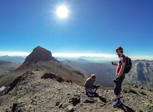
Hike The Sisters in the Mokelumnee Wilderness
8 mi / 2500 ft gainThe Sisters offer a great day hike with fun scrambling and beautiful views of the Northern Sierra, Lake Tahoe, the Mokelumnee Wilderness, and the Carson River Canyon.The trail to The Sisters begins at Woods Lake (38.6855° N, 120.0095° W), at the end of Woods Lake Road off Highway 88, 1.5 miles we...Read more -
Alpine County, California
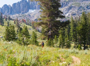
Hike Round Top Summit and Winnemucca Lake Loop
6.6 mi / 1272 ft gainThis hike begins near the Woods Lake campground. Start off by hiking towards Winnemucca Lake. You will begin your journey going through the forest beside a crystal-clear stream. Soon the trail opens up to become more open, full of all colours of wild flowers. You follow this breathtaking trail up...Read more -
Mariposa County, California
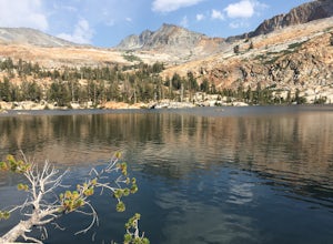
Backpack to Lower Ottoway Lake
32 mi / 2400 ft gainThe hike begins at Mono Meadows trailhead along Glacier Point Road, first descending 2.8 steep miles to Illilouette Creek. Above the Illilouette Junction, take in views of the Valley's granite domes before beginning the post-burn forested slog. The trail covers an additional 10 miles of relativel...Read more -
Markleeville, California
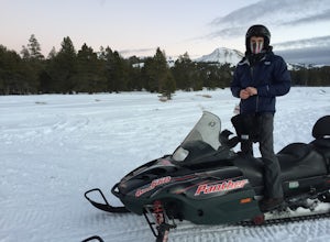
Snowmobile at Hope Valley Sno-Park
Book a snowmobile trip through a local adventure center (we love Lake Tahoe Adventures) or bring your own gear. Don't forget to grab permits ahead of time if you come on your own (more info here.) Drive (from anywhere) to Highway 88 and the snow park entrance is on the south side of the highway. ...Read more -
Alpine County, California
Hike to Round Top Peak
5.09 mi / 1821 ft gainThis hike begins at Carson Pass which is accessible from Highway 88. The trail leaves from the parking lot (parking requires a fee of $5) and is easy to follow. After about a mile, you'll pass Frog Lake on the left, which is a nice place to stop for a quick snack.Continue along the trail and stay...Read more -
Markleeville, California
Caples Lake to Emigrant Lake
5.08.71 mi / 971 ft gainThis is an awesome out-and-back hike for the weekend warrior. The trail begins at the western-most point of Caples Lake, and takes you to Emigrant Lake. The first 2/3 of the trail is rather flat and appropriate for all skill levels. The last mile up to the lake schleps up the hill, and has some ...Read more -
Amador County, California
Hike to Thunder Mountain at Carson Pass
7 miThe trailhead begins on Rt 88 just past Kirkwood Resort or Silver Lake - depending on which way you are headed. There is plenty of parking but no other amenities. The trail begins at 7,900 ft and climbs steadily up Two Sentinels then along the ridge to Martins Point, ending at the 9,408ft summit ...Read more -
South Lake Tahoe, California
Meiss and Round Lake via Tahoe Rim Trail
10.5 mi / 1257 ft gainMeiss and Round Lake via Tahoe Rim Trail is an out-and-back trail that takes you by a lake located near Kirkwood, California.Read more -
Mariposa County, California
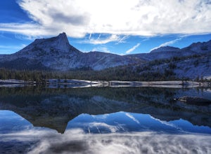
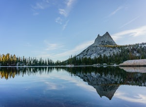
John Muir Trail: Camping at Lower Cathedral Lake
5.0Make the .75 miles detour off of the John Muir Trail to reach this spot and you won't regret it. Lower Cathedral Lake is typically less populated than nearby Upper Lake and has some of the mot beautiful scenery on the JMT. Sunrise and sunset with the reflection of Cathedral Peak on the glassy wat...Read more -
Wawona, California
Pothole Dome
5.01.01 mi / 250 ft gainGetting There From the Tuolumne Meadows Visitor Center, head west on Tioga Road/ Hwy 120 towards Tenaya Lake. You'll only travel about 1 mile down the road until you see Tuolumne Meadows open up again on your right, and there will be a very large gravel pull out where you can park. Pothole Dome ...Read more -
Mariposa County, California
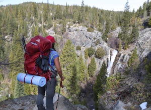
Hike to Alder Creek Falls
10 mi / 1000 ft gainThe trail leads from the parking area across the Mosquito Creek road and heads uphill north through an open pine forest with manzanita growing on dry slopes. The trail provides access to Alder Creek Falls a hidden gem within Yosemite's Wawona wilderness. I did the trail towards the end of Februar...Read more -
Cathedral Lakes Trailhead
Tuolumne Meadows to Yosemite Valley
5.030.82 mi / 6109 ft gainYosemite is an iconic park, and if you are looking for isolation with spectacular views of the backcountry this trip is for you. The trail itself is approximately 33 miles and can be done in 3-4 days, but I recommend a 6 day hike to enjoy the scenery and to have the opportunity to soak in each lo...Read more -
Yosemite National Park, California
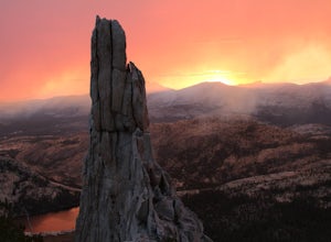
Scramble Yosemite's Cathedral Peak
3.0Start at Toulumne Meadows (8000 ft), and take the John Muir Trail, on the south side of Tioga Road. After about 1 mile, an unmarked trail will appear on your left – it is a less-traveled path, primarily taken by climbers. This trail will lead you away from Cathedral Lake to the back of Cathedral ...Read more -
Wawona, California
Cathedral Lakes
4.89.04 mi / 1100 ft gainStarting at the Cathedral Lakes Trailhead near the Tuolumne Meadows parking lot (if parking is full at the TH), this trail wanders through the classic High Sierra forest with large white granite boulders and pine trees. After approximately 4 miles of quiet solitude in the forest, you will reach ...Read more -
Tuolumne County, California
Backpack to Boothe Lake
5.016.6 mi / 1400 ft gainStarting at the Tuolomne Meadows Visitor Center you will head south to jump on the John Muir Trail, move east for 2.8 miles on the JMT until the trail intersects with the Vogelsang High Sierra trailhead, you head south when you reach this trail. Once you hit the Vogelsang trail you are 5.5 miles ...Read more -
Tuolumne County, California
Tulomne Meadows to Donohue Pass via JMT
5.027.56 mi / 2953 ft gainDonohue Pass lies on the border of Yosemite National Park and the Ansel Adams Wilderness. Both the John Muir Trail (JMT) and the Pacific Crest Trail (PCT) route through this pass at 11,056 ft. A challenging but beautiful hike that starts from Tuolumne Meadows and follows the JMT for 12.5 miles t...Read more

