Long Barn, California
Long Barn, California, offers a range of top outdoor adventures, with the best trails and outdoor activities. The Pinecrest Lake Loop Trail is a must-visit for hikers. This moderate 4-mile trail circles the scenic Pinecrest Lake, with stunning views of the water and surrounding forest. For a more challenging trek, try the Emigrant Wilderness Trail. It offers a diverse landscape, including rivers, rock formations, and lush meadows. Don't miss the Columns of the Giants, a unique geological formation near the trail. For a relaxing day, visit the nearby Stanislaus River Parks, perfect for fishing and picnicking. Remember, these outdoor attractions are within and near Long Barn, making them convenient for a day of exploration.
Top Spots in and near Long Barn
-
Mariposa County, California
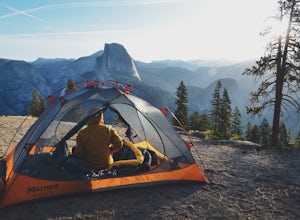
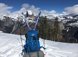
Camp at Glacier Point
4.79.17 mi / 3491 ft gainEveryone that knows Yosemite, knows Glacier Point. An overlook that attracts thousands of people per day that drive up via Glacier Point Road is rarely vacant of the hustle and bustle of people. However, there is a loop hole here, and when the stars align you can have Glacier Point ALL to yoursel...Read more -
Mariposa County, California
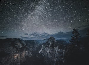
Glacier Point via Four Mile Trail
5.09.59 mi / 3200 ft gainGlacier Point is one of the highlights of Yosemite. The point is located at the end of Glacier Point Road. This viewpoint allows you to survey the entire Yosemite Valley and gives the viewer a captivating sight of Half Dome. It's a little bit of a tourist trap (especially during the summer season...Read more -
Mariposa County, California
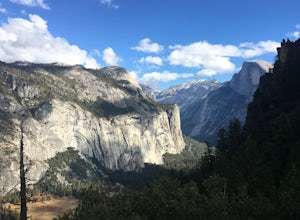
Hike to Union Point via Four Mile Trail
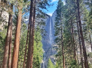
6 mi / 2332 ft gainFour Mile Trail is steep, but hikers efforts are more than rewarded. Union Point sits above Yosemite Valley at 6,332 feet - offering sweeping views of El Capitan and the valley entrance to the left, and North Dome / Half Dome & Clouds Rest to the right. You can also see Yosemite Falls straigh...Read more -
Yosemite Valley, California
Sentinel Meadow Cook's Meadow Loop Trail
4.51.99 mi / 85 ft gainThis short, easy walk provides some of the best views of several iconic Yosemite landmarks from the valley floor. If you complete the entire loop, expect to see Yosemite Falls from the Swinging Bridge, Half Dome from Sentinel Bridge (a popular spot at sunset), and the historic Yosemite Chapel. ...Read more -
Markleeville, California
Backpack to Grouse Lake
4.711.43 mi / 2283 ft gainIt is a 6 mile hike to Grouse Lake. You begin at the trailhead which is right by Damsite Campground at Upper Blue Lake. Park in the dirt parking area and then cross the metal footbridge, and you will see the trailhead marker on your left. The trail takes you into the Mokelumne Wilderness. Follow...Read more -
YOSEMITE NATIONAL PARK, California
Photograph Stoneman Bridge in Yosemite NP
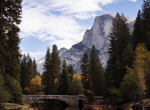
4.5This location turned out to be one of our favorite unplanned stops in the Yosemite Valley to photograph and explore.Stoneman Bridge was constructed in 1933 and spans 72 feet long. The Merced River flows under this classic stone bridge providing very photogenic reflections, with Half Dome in the b...Read more -
Wawona, California
Dewey Point Trail
4.95 mi / 315 ft gainThis approximately 5-mile out-and-back trail is a great hike in Yosemite National Park. This trail starts off of Dewey Point's Meadow Trail, but you can also start from the Dewey Point Ridge trail, which you'll pass first when coming up Glacier Point Road. This trail is not dog friendly, but is a...Read more -
Yosemite National Park, California
Winter Backpack to Sentinel Dome in Yosemite
5.019.23 mi / 860 ft gainThe goal for our weekend was to do some winter camping in the Yosemite backcountry; we decided on Sentinel Dome as our destination. The trail is a cakewalk during the summer, but winter turns it into a 10 mile uphill grind from the car. Most people opt to head for the ski hut at Glacier Point, bu...Read more -
Yosemite National Park, California
Dewey Point via Badger Pass Ski Area
5.07.36 mi / 761 ft gainTake the one-hour shuttle ride from the Yosemite Lodge to the Yosemite Ski Area, so that you don't have to worry about driving in the snowy conditions, or finding parking. If you don’t own snowshoes, you can easily rent a pair from the rental shop for the day. Current rates are $24.00 for a full ...Read more -
Mariposa County, California
May Lake Trail
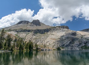
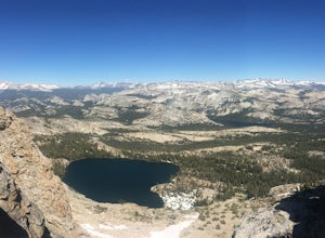
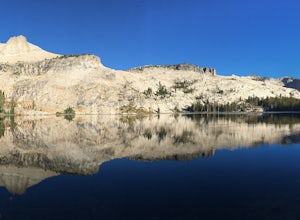
4.02.34 mi / 489 ft gainMay Lake is a stunning, serene subalpine lake that rests at the base of Mt. Hoffmann. The May Lake turnoff is located four miles past Tenaya Lake. From the turnoff, it's 1.8 miles to the trailhead parking lot. During summer time, I will recommend getting to the parking area early to get a spot ...Read more -
Mariposa County, California
Mt. Hoffman via May Lake Trailhead
5.55 mi / 2140 ft gainThe May Lake trailhead is at the end of a 2-mile unpaved road leading north from Tioga Road. The trailhead has pit toilets and bear lockers. (Please be sure to store any food, garbage, scented items, and empty coolers in these lockers while hiking!) After hiking an easy 1.3 miles, you'll arrive ...Read more -
Mariposa County, California
Hike Mt. Hoffmann via the East Chute
6 mi / 3000 ft gainThis is a solid, day long trip. It is a great hike with a bit of a scramble on the way up to the summit massif and then again at the nearly 11,000-foot peak of Mount Hoffmann. You will have what John Muir described as his favorite view of Yosemite. You can look down onto Half Dome and across the ...Read more -
YOSEMITE NATIONAL PARK, California
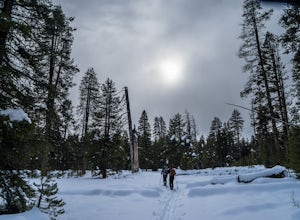
Nordic Ski and Snowshoe to Glacier Point
5.021 miKnown for its breathtaking vistas, towering granite faces, and thundering waterfalls, Yosemite National Park truly is one of the world’s most astounding landscapes. Though the park covers nearly 1200 square miles, the vast majority of the ~4 million annual visitors spend almost all their time ar...Read more -
YOSEMITE NATIONAL PARK, California
Cross-Country Ski to the Ostrander Ski Hut
Start your trip from the Badger Pass ski area. The Glacier point road is closed past here, and you'll spend your first couple of miles skiing mostly downhill to the Bridalveil Falls trailhead.The Bridelveil Creek trail gains slightly less elevation but is less scenic and longer than the more popu...Read more -
Yosemite Valley, California
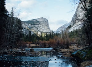
Mirror Lake
4.62.56 mi / 190 ft gainMirror Lake is a very popular spot in the Yosemite Valley and definitely a must see to check off your explore list. Crowds are much smaller if you go during the winter, but some parts of the water might be iced over. The trailhead you take to get there is well marked and can be found at the far ...Read more -
37.739698,-119.564018
Snow Creek Trail
5.020.43 mi / 2700 ft gainThis is truly a beautiful hike. Although it’s not the easiest, you are rewarded by the views. From the Mirror Lake trailhead (shuttle stop #17), it is 0.9 miles to the Snow Creek trailhead and 1.7 miles to the Snow Creek overlook where you can camp in close proximity. Once you reach the top, you...Read more

