Livermore, California
Looking for the best hiking in Livermore? We've got you covered with the top trails, trips, hiking, backpacking, camping and more around Livermore. The detailed guides, photos, and reviews are all submitted by the Outbound community.
Top Hiking Spots in and near Livermore
-
Muir Beach, California
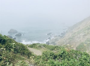
Pirate's Cove
5.03.43 mi / 856 ft gainPirate's Cove is an out-and-back trail where you may see wildflowers located near Mill Valley, California.Read more -
Larkspur, California
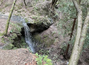
Dawn Falls Trail Loop
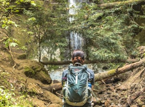
2.79 mi / 466 ft gainDawn Falls Trail Loop is a loop trail that takes you by a waterfall located near Larkspur, California.Read more -
Larkspur, California
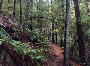
Dawn Falls Trail
4.52.29 mi / 344 ft gainTake the Dawn Falls trail down into the Baltimore Canyon for an in-depth exploration of northern California nature. Rather than the usual dry, hardy vegetation that speckles the hills of many nearby trails, this trail is bursting with lush ferns and mossy trees as it meanders along next to Larksp...Read more -
Mill Valley, California
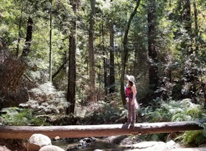
Canopy, Panoramic, Redwood Trail, Sun, Dipsea Trail Loop
4.74.31 mi / 1145 ft gainWhile there are other, less crowded redwood groves in the Bay Area, Muir Woods National Monument is easily one of the best. It is a beautifully maintained site, with wooden footpaths meandering between towering redwoods that are between 600 – 800 years old. It’s home to some true giants, with its...Read more -
Mill Valley, California
Temelpa Trail
4.52.94 mi / 1929 ft gainThe Mt. Tam Hill Climb via Temelpa Trail is an iconic, "best-of" climb in the trail running community, drawing some of the world's greatest athletes to experience its breathtaking views and technical downhill. Surprisingly though, outside of locals and the running community, the trail remains lar...Read more -
Muir Beach, California
Owl Trail
5.01.2 mi / 300 ft gainThe Owl Trail runs between Slide Ranch and the Muir Beach Overlook and is a great way to take in the breathtaking views, flora and fauna of the Northern California coast. The easiest way to access the trail is to park at the Muir Beach Overlook and to take the trail down to Slide Ranch and then...Read more -
Felton, California
Hike Fall Creek at Henry Cowell SP
5.09.7 mi / 2191 ft gainThis quiet 10 mile hike features a winding creek and tall redwoods throughout the trail. The parking at the Fall Creek Trailhead is limited, so it is best to get there before 10am. There are redwoods very close to the trail and a good portion is alongside the creek. Most of the trail is dirt, ...Read more -
Felton, California
Hike to Limestone Kilns and Big Ben Redwood
5.08 mi / 1500 ft gainHenry Cowell Redwood State Park is a super easy destination to get to from Santa Cruz, but the seclusion of the Fall Creek Unit makes this a big bang for buck hike. This hike will take you to Big Ben, a medium sized old growth Redwood, and the abandoned Henry Cowell Lime and Cement Company Kilns ...Read more -
Soquel, California
Land of Medicine Buddha Loop
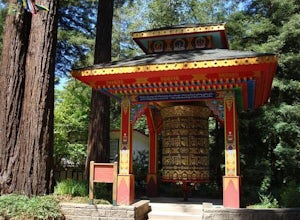
4.55.74 mi / 915 ft gainNear the retreat, there is a short trail called "Eight Verses Pilgrimage Trail" providing people with the opportunity to meditate on thought transformation in a peaceful and picturesque outdoor setting. From there, a beautiful 6 mile loop will take you up to the top of the ridge and then back aro...Read more -
Felton, California
Redwood Grove Loop
4.00.93 mi / 144 ft gainHenry Cowell Redwoods State Park is located just a few miles north of the city of Santa Cruz, along Highway 9. The park is home to an array of hiking and biking trails, but the crown jewel of the park is the Redwood Grove Loop Trail, which is only a 1/4 mile in from the park's entrance. Many peo...Read more -
Felton, California
Observation Deck Loop in Henry Cowell Redwoods SP
4.35.3 mi / 869 ft gainThe trail starts at the Henry Cowell Redwoods State Park Visitors Center. Grab a map in the center, as your hike has you turning onto a few different trails to get to the observation deck. Starting at the Redwood Grove Loop Trail, follow the trail until it connects with the Pipeline Road Trail ...Read more -
Santa Cruz County, California
Camp at Henry Cowell Redwoods Campground
4.8/ 665 ft gainNestled in the Santa Cruz Mountains, Henry Cowell Redwoods State Park is a great weekend option for Bay Area residents. With approximately 30 miles of hiking trails, the incredible Garden of Eden swimming hole, and proximity to Santa Cruz - this campground is not to be missed! On sunny days, view...Read more -
Mill Valley, California
Summit of Mt. Tamalpais Loop
5.01.15 mi / 394 ft gainMt. Tam is a large park with plenty of amazing viewpoints, but the East routes and the East Peak are best for sunsets. Once you're at the top, it's an amazing spot to view a large number of Marin trails, which can help you can get a head start on planning your next adventure. At 2,570 feet, this ...Read more -
Ross, California
Phoenix Lake Loop
4.52.85 mi / 518 ft gainEnjoy the peacefulness of making it out to the lake for a quick hike without worrying too much about challenging climbs or difficult terrain. Take the wide fire road from the car uphill and then jump on the Phoenix Lake Trail. From here, you’ll combine this trail with the Gertrude Orr and Bill Wi...Read more -
Aptos, California
Hike to Nisene Marks' Maple Falls
4.68.5 mi / 900 ft gainAs you enter the park, you'll need to pay $8 for parking via a self-pay envelope, so it's recommended that you bring exact change. At the park booth, be sure to grab a map. The hike can be a little tricky with no cell service and limited trail signage. Once you've grabbed your map, keep driving p...Read more -
Mill Valley, California
Steep Ravine Trail via Pantoll Station
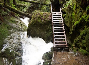
5.03.96 mi / 1079 ft gainThe trailhead Pantoll Station is easy to find on GPS and there are friendly rangers there as well to answer questions.Maps: Paper map are available at the trailhead Pantoll Station in Marin, CA. For a moderate hike, I suggest going the one and a half miles down the trail to the ladder and retu...Read more

