Crockett, California
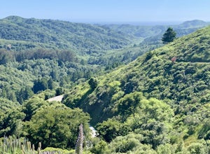
The best Trails and Outdoor Activities in Crockett, California, offer a wealth of scenic adventures. A top pick is the Crockett Hills Regional Park, a must-visit for its unique array of wildflowers and bird species. The Sky Trail offers panoramic views of Carquinez Strait and San Pablo Bay, while the Sugar City Trail provides glimpses of the old sugar mill. The park is also home to a variety of wildlife, including deer, foxes, and hawks. The trail difficulty varies from moderate to challenging, making it suitable for all fitness levels. For water-related activities, the nearby Carquinez Strait offers opportunities for fishing and boating. Crockett's outdoor attractions showcase the best of California's diverse landscapes.
Top Spots in and near Crockett
-
San Francisco, California
Run the Coit Tower Stairs
3.8There are 2 sets of stairs for Coit Tower on Sansome St. The first set is at Greenwich and the second is at Filbert. The Filbert steps are a little deeper per step and are mostly wood and concrete. The Greenwich steps are a little tougher because of the shallower, brick stairs as you get toward t...Read more -
Novato, California
Schwindt, Indian Valley, and Waterfall Trail Loop
3.51 mi / 594 ft gainSchwindt, Indian Valley, and Waterfall Trail Loop is a loop trail that takes you by a waterfall located near Novato, California.Read more -
Larkspur, California
Dawn Falls Trail
4.52.29 mi / 344 ft gainTake the Dawn Falls trail down into the Baltimore Canyon for an in-depth exploration of northern California nature. Rather than the usual dry, hardy vegetation that speckles the hills of many nearby trails, this trail is bursting with lush ferns and mossy trees as it meanders along next to Larksp...Read more -
Larkspur, California
Dawn Falls Trail Loop
2.79 mi / 466 ft gainDawn Falls Trail Loop is a loop trail that takes you by a waterfall located near Larkspur, California.Read more -
Napa, California
Alston Park Loop Trail
2.76 mi / 184 ft gainAlston Park Loop Trail, located in Napa, California, is a 2.76-mile loop trail that offers a moderate level of difficulty for hikers. The trail is primarily used for hiking, walking, and running and is accessible year-round. The trail is well-maintained and clearly marked, making it suitable for ...Read more -
Sausalito, California
Catch the Sunset at Swedes Beach
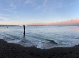
This is a small tucked away beach in Sausalito, CA. Being in the bay, it has very calm waters and is easy to swim in, though the water will be very cold. There are pilings in the water that are remnants of the old piers. It is a great beach to watch the sunset at. There is very limited street...Read more -
San Francisco, California
Aquatic Park
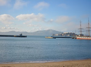
3.7Take an early morning swim and watch the sunrise over the east bay or catch an afternoon swim on a sunny SF day. A full lap around the buoys (out-and-back) is about 1/3 mile and the perimeter of the park is 1 mile. Bring your dog for a swim too! Afterward, you can head up Columbus to one of the m...Read more -
Sonoma, California
Sonoma Valley Wine Tour Bike Ride
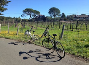
This 12 mile bike path starts at a rental shop in Sonoma Country called Sonoma Valley Bike Tours and Rentals. Follow the trail through the quaint residential area and into the back country vineyards and dirt trails. This ride can be anything between a hardcore 2 hour cycling workout with a few in...Read more -
Ross, California
Phoenix Lake Loop
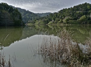
4.52.85 mi / 518 ft gainEnjoy the peacefulness of making it out to the lake for a quick hike without worrying too much about challenging climbs or difficult terrain. Take the wide fire road from the car uphill and then jump on the Phoenix Lake Trail. From here, you’ll combine this trail with the Gertrude Orr and Bill Wi...Read more -
San Francisco, California
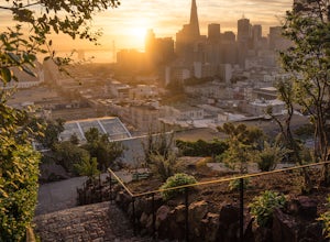
Catch a Sunrise at Ina Coolbrith Park
5.0This tucked away neighborhood gem is less than a square block in size, but offers some of the best views of San Francisco. After a quick, but steep, 5 minute walk, you'll be rewarded with incredible views of: the city skyline, Coit Tower, Alcatraz, and the Bay Bridge. There are a few benches avai...Read more -
Danville, California
Summit Mount Diablo via Rock City Trail
5.07.8 mi / 2299 ft gainAlthough steep in sections, this trail is a wonderful workout and hikers are more than rewarded for their efforts. The Rock City Trail is a direct route to the summit of Mount Diablo, and the park is an ecological treasure dear to the hearts of Bay Area residents. The best views are on clear days...Read more -
Danville, California
Hike in Mount Diablo's Madrone Canyon
2.8 mi / 550 ft gainThis hike starts at the Rock City area of Mount Diablo State Park. Begin at the Madrone Canyon Trail, hiking southeast towards the Devils Slide trail. Along this section of the hike, the trail dips into a wooded canyon and follows the path of a small creek. To best experience the beauty of the cr...Read more -
San Francisco, California
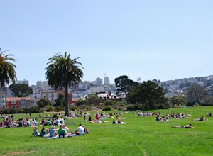
Fort Mason
4.8When the sun comes out in San Francisco, Fort Mason's Great Meadow Park transforms into ground zero for bocce ball, corn hole, wiffle ball, music, dancing, wine, and beer. While it lacks the diversity and quirkiness found at Dolores Park, it makes up for it with a beautiful panoramic view of the ...Read more -
Mill Valley, California
Temelpa Trail
4.52.94 mi / 1929 ft gainThe Mt. Tam Hill Climb via Temelpa Trail is an iconic, "best-of" climb in the trail running community, drawing some of the world's greatest athletes to experience its breathtaking views and technical downhill. Surprisingly though, outside of locals and the running community, the trail remains lar...Read more -
Mill Valley, California
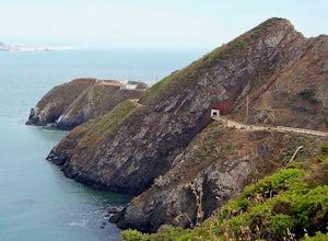
Headlands Ride to Point Bonita Lighthouse
4.3The Headlands are a quick ride over the Golden Gate. On the ride, you'll see wildflowers, rugged coastline, and the Point Bonita Lighthouse. Once you cross the bridge, take Conzelman Rd up ~700 feet to Hawk Hill. From here, continue on to the lighthouse. On the return trip, head back on Conzelman...Read more -
Mill Valley, California
Dipsea Trail
4.613.03 mi / 3701 ft gainThe Dipsea Race is the 2nd oldest foot race in the US. The race is named after the Dipsea Inn at the end of the trail at Stinson Beach. The good news is that you can enjoy this scenic trail and its sweeping ocean views at your leisure. The bad news is that the race is only one-way. If you choose,...Read more

