Clayton, California
Clayton, California has it all for those looking for adventure. From scenic hiking trails to must-visit attractions, there are plenty of top activities to enjoy in and near the area. Whether you're looking for a leisurely stroll through nature or an action-packed experience, Clayton has something for everyone. Popular attractions in and near Clayton include Mt. Diablo State Park, Shell Ridge Open Space, and the Black Diamond Mines Regional Preserve. There are also plenty of trails and activities to explore, including the Marsh Creek Trail, the Los Vaqueros Reservoir Trail, and the Morgan Territory Regional Preserve. Whether you're looking for a peaceful experience or an exciting outdoor adventure, Clayton has something for everyone.
Top Spots in and near Clayton
-
Pacifica, California
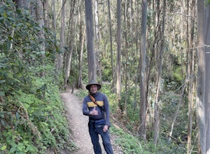
Montara Mountain Trail
5.06.77 mi / 1900 ft gainMontara Mountain Trail is a loop trail that takes you through a forest out to ocean views at the top of Montara Mountain. This hike located near Pacifica, California. and can be accessed from Highway 1 as well. If you're looking to do a similar loop hike from the coast, consider Montara Mountain ...Read more -
Stinson Beach, California
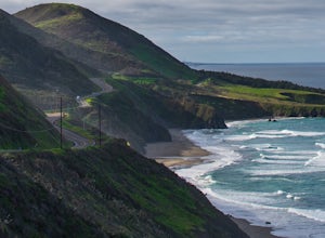
Cruising Pacific Coast Highway in Northern California
4.8Start your drive on US Highway 1 aka Pacific Coast Highway just North of San Francisco. The drive will take about 1 -2 days so plan on overnighting somewhere. Hotels are scarce in the unpopulated areas but there all lots of Cabin rentals throughout and several campgrounds around. Just make sure y...Read more -
Stinson Beach, California
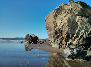
Bouldering & BBQ at Stinson
4.5Stinson offers up a great beach day with a few activities for everyone to enjoy. If you head toward the south end of the beach, you'll come across a few boulder problems, including the 2 most popular: Are You Experienced and The Old Man. Are You Experienced is the smaller of these 2 boulders, but...Read more -
Stinson Beach, California
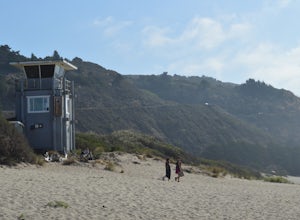
Relax at Stinson Beach
4.3Stinson beach is a popular destination for Bay Area residents and tourists alike. Located just 20 miles north of San Francisco, it is a 30-40 min drive away from the Golden Gate Bridge (it's a one-lane windy road once you're on HWY 1). It is also a popular stop when hiking the nearby Mount Tama...Read more -
Pacifica, California
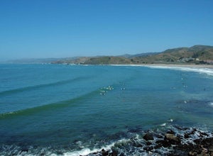
Surf at Pacifica State Beach
4.5If you're looking for a place to surf and Ocean Beach isn't quite your speed or Santa Cruz is too far, head to Pacifica, specifically Linda Mar. Linda Mar is usually more wind protected and user-friendly than ocean beach. Break out your longboard or hybrid board and head to this beach. There is e...Read more -
Yountville, California
Bike the Napa Valley Wine Trail
12.5 mi / 100 ft gainThe Napa Vally Vine Trail is an ongoing project of the Napa Valley Vine Coalition which has the stated goal of creating a 47 mile long bike trail along the entire length of Napa Valley. Currently 12.5 miles of trail is available between downtown Yountville and Kennedy Park in the city of Napa. Yo...Read more -
Redwood City, California
Hike the Crystal Springs Trail Loop
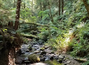
5.6 mi / 1300 ft gainThis is a great hike for any season of the year, with rushing streams during the winter, wildflowers in the spring, and cool, shaded canyons during the summer. Starting from near the Zwierlein Picnic area, take the Crystal Springs to the left into the redwood forest. Stay straight at the next tra...Read more -
San Geronimo, California
Roys Redwood Preserve Loop
5.02.37 mi / 430 ft gainRoy's Redwoods Preserve is an easily missed pocket of Redwoods off Nicasio Valley Road in Marin County. Don't miss it: heading North on Sir Francis Drake Blvd turn right onto Nicasio Valley Rd--the gate for this little park is about a half mile up on the right. From the main entrance you enter a ...Read more -
Winters, California
Homestead & Blue Ridge Loop
5.04.46 mi / 1299 ft gainAt the bend in the road on Highway 128, you will pass two silver gates. The gate with the UC Davis logo is the entrance to the trailhead. Past the entrance there is a large dirt pullout off the road with plenty of parking. Starting at the trailhead, go left in the fork to start the loop trail. T...Read more -
Winters, California
Hike the Stebbins Cold Canyon Loop
4.04.5 mi / 350 ft gainStebbins Cold Canyon is a great day hike for all skill levels, accessible year round, and offers an abundance of wild flower viewing, including the California poppy. Tog get to the hike, head about 8 miles west of Winters, CA, where a silver fire gate marks the main entrance to the Stebbins Cold ...Read more -
Winters, California
Hike the Homestead-Blue Ridge Loop
5.0From the official trailhead, start off by taking the Homestead Trail, which forks towards the right. A trail connecting Homestead and Blue Ridge will take you to a creek nearby. Veer off the trail along the creek and there is a water hole for cooling off on hot days. Onward into the trail, you wi...Read more -
Redwood City, California
Hike Whittemore Gulch at Purisima Creek Redwoods OSP
4.09.3 mi / 2109 ft gainThis trail starts out going downhill towards the ocean for the first half, which makes for a tough end to the hike as you trek back up the ridge. However, there are nice ocean and hilltop views that are worth the climb. On this trail, you'll pass 60+ banana slugs if conditions are right. They ar...Read more -
Palo Alto, California
Hike the Arastradero Preserve Loop
3.04.5 mi / 600 ft gainGetting There: From Hwy 280, take the Page Mill Road exit and head West on Page Mill Road, away from Downtown Palo Alto (if you're taking 101, exit on Oregon Expressway). Then turn right on Arastradero Road. There will be a small sign indicating the dirt parking lot on the eastern side of the str...Read more -
Redwood City, California
Hike Purisima Creek Redwoods OSP
4.67 miThere are two places to park for this specific loop- the main parking area on Highway 35 (Skyline Boulevard) and a smaller parking lot on the western end of the park. I would recommend parking at whichever is closest. Find directions to both on Openspace.org. From the main parking lot, the trail ...Read more -
Redwood City, California
Mountain Bike at Purisima Creek
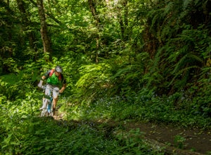
This beautiful mountain bike ride can be started at the Purisima Creek Road Trailhead or on Skyline Boulevard. There are many trails in the Purisisma Creek Redwoods, but Whittemore Gulch is by far the most beautiful and fun single track to descend on. If you are starting from Skyline Boulevard, i...Read more -
Winters, California
Fly Fishing on the Putah
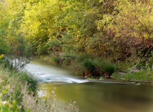
4.0Putah Creek is a little over an hour drive from SF without traffic. The creek has flows beginning in April, which can reach up to 700cfs during the summer months. The creek begins to drop after September. Keep in mind that wet-wading isn't recommended until the river is under 300cfs. Most fly fis...Read more

