California
Looking for the best chillin in California? We've got you covered with the top trails, trips, hiking, backpacking, camping and more around California. The detailed guides, photos, and reviews are all submitted by the Outbound community.
Top Chillin Spots in and near California
-
Big Sur, California
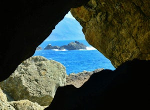
Explore The Hidden Rock Caves At Partington Cove
5.0Partington Cove which is located in Julia Pfeiffer Burns State Park, is one of Big Sur's hidden gems. It's a very short hike with enough views to show why Big Sur earned the nickname " Little Yosemite." The whole hike can easily be completed in less than an hour, although there are definitely eno...Read more -
San Francisco, California
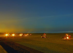
Beach Bonfire at Ocean Beach
4.3Yes, it's often cold in the city. So, what's the best way to warm up? Bring some blankets, a jacket or two, and come out to Ocean Beach to enjoy a bonfire, a sunset, and some quality time with friends. The fire pits are between Fulton and Lincoln. On a sunny day, get there early if you want to ge...Read more -
Calistoga, California
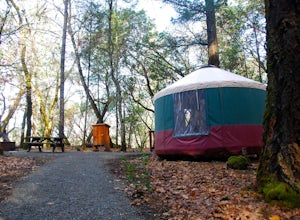
Camp at Bothe-Napa Valley SP
4.5Looking for a romantic getaway but you’d prefer to spend your nights around a campfire? This adventure is for you. This beautiful Napa Valley campground has it all – 10 miles of hiking trails, 1,900 acres to explore, and…new yurts! Yurts are basically cool circular tents that allow you enjoy the ...Read more -
Silverado, California
Hike to Black Star Canyon Falls
4.87.5 mi / 913 ft gainWaterfalls in Orange County are far and few between, with the best lying near and inside the Cleveland National Forest. Black Star Canyon Falls are some of the best just after a rain if you are heading out during a dry time of the season you should still expect to see some water. Free parking, ea...Read more -
Moss Beach, California
Cypress Tree Tunnels at Moss Beach
4.50.79 mi / 105 ft gainThe Cypress Tree Tunnels are a quick jaunt from San Francisco (22 miles) and make for a great half-day trip. Getting here depends on traffic, but 30 minutes from the center of the city is doable. Parking is relatively easy. You can either park at the south end of the area at the Cypress Cove entr...Read more -
Carmel-by-the-Sea, California
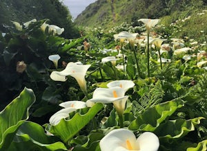
Calla Lily Valley
4.50.31 mi / 46 ft gainParking for Calla Lily Valley is available along the dirt pullout at Gate 19 for Garrapata State Park, near mile-marker 63. Signs are small and difficult to see. Follow the path between the guide wires and take the right fork, heading north to the bluff overlooking the beach. Continue north and f...Read more -
Los Angeles, California
Cave of Munits
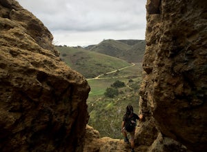
4.51.53 mi / 299 ft gainAre you looking for a hike that offers trail running, scenic views, hiking, and CAVE exploring? This short, but exciting trail leads you on a short 0.8 mile hike to the Cave of Munits. When starting at the main trailhead, El Scorpion Park, take the wide paved dirt road all the way till you get to...Read more -
Big Sur, California
Pfeiffer Beach
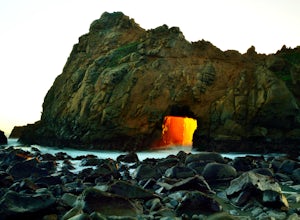
4.00.81 mi / 75 ft gainPfeiffer Beach located in Big Sur may truly be one of the most awesome beaches in California...if you can find it. I lived within 40 miles of this beach for over 20 years and just discovered it recently. This beach is located on an unmarked road called Sycamore Canyon Road. On Highway 1, this roa...Read more -
Stinson Beach, California
Steep Ravine Cabins
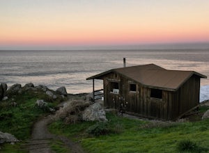
5.0Although these cabins are bare bones, lacking both water and electricity, they couldn't put you in a better spot for views of the Pacific Ocean. From your cabin, you can enjoy amazing sunsets, possibly whale watching, and access to trails like the cabin's namesake, Steep Ravine Trail. The cabins...Read more -
Colfax, California
Hike The Historical Stevens Trail
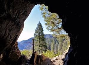
5.08 mi / 3376 ft gainBest known as one of the most popular hiking and biking trails to the North Fork American River, in part because of the easy access from Colfax. However, this is a remote trail, and hikers are advised to bring plenty of fluids as well as carry a whistle. The entire trail is primarily shaded, pa...Read more -
Palos Verdes Estates, California
Bluff Cove
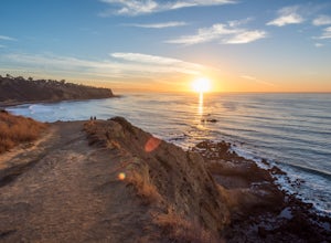
4.40.56 mi / 144 ft gainParking for Bluff Cove is located along the sides of the street of Paseo Del Mar, and the trailhead is located right next to the street. Bluff Cove is one of those unique locations in that there are a variety of activities you can do here. It is a great location for surfing, paddle boarding, bod...Read more -
Marin County, California
Picturesque Views from Mt. Tam's East Ridge
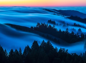
5.0This road provides one of the most scenic views of the pacific from north of the Golden Gate. It's a little bit of a windy drive or ride along Highway 1 or Panoramic Highway (depending on which way you choose) to get to East Ridgecrest. But, if you remembered to pack a picnic, brought your friend...Read more -
San Diego, California
Los Penasquitos Canyon Loop
3.36.77 mi / 131 ft gainLos Penasquitos Canyon Loop After about a five minute hike on the trail you will start to enter into Los Penasquitos Canyon. Every section of the trail is different, one minute you are walking next to a stream with trees arching over the trail and another minute you are walking through an open f...Read more -
Big Sur, California
Camp on Prewitt Ridge
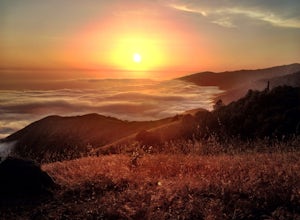
4.2After much time in Big Sur, it became quickly apparent that Prewitt Ridge is the crown jewel of camping in the area. It has even been described as "the most beautiful car camping spot on god's green earth" and that doesn't do it justice.While Prewitt Ridge is an officially designated campground i...Read more -
Santa Barbara, California
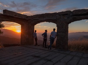
Hike to Knapp's Castle
4.20.8 miOne of the many hidden gems near Santa Barbara, Knapp's Castle is an abandoned home built in 1916 by George Knapp. Finding the trailhead can be difficult because it's not clearly marked and the road it's starts from is long, winding and narrow. Coming from the 154, turn right on East Camino Cielo...Read more -
Agoura Hills, California
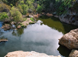
Malibu Creek Rock Pool
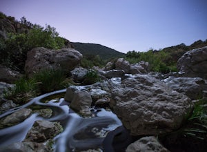
3.92.04 mi / 105 ft gainThe trail starts out from the main parking lot past the ranger station at Malibu Creek State Park. Begin hiking west on Crags Road, a well maintained trail that meanders along the creek. As you walk, you'll pass under large oak trees and enjoy expansive views of the Santa Monica Mountains. Aft...Read more

