Bishop, California
Bishop, California is a great destination for outdoor activities and attractions. Nestled between the Sierra Nevada to the west and the White Mountains to the east, Bishop offers a wide array of outdoor activities. For those who enjoy rock climbing, the Buttermilk Boulders and the Happy and Sad Boulders in the Volcanic Tablelands are popular destinations. These areas are not only for climbers but also offer scenic hiking trails, mountain biking routes, and opportunities for bird watching and photography. Bishop Creek Canyon, southwest of Bishop, is a natural wonderland of mountains, lakes, streams, forests, and waterfalls. It's a great place for camping, fishing, and simply enjoying the breathtaking scenery. Bishop has something for everyone, ensuring you get the most out of your trip and the beauty of nature.
Top Spots in and near Bishop
-
Bishop, California
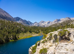
Hike Morgan Pass to 7 Scenic Lakes
5.010 miTake the 395 North for 20 miles past Bishop and make a left on Rock Creek Road. Follow this road for 10 miles until you reach the free parking area at the Mosquito Flats Trailhead. Even on a holiday weekend, finding parking wasn’t a problem. The trailhead offers easy access to bathrooms and bear ...Read more -
Bishop, California
Fish for a Sierra Grand Slam in Little Lakes
Access to this relatively mellow (for the Sierras) trail can be reached via Rock Creek Road off of Highway 395, north of the town of Bishop, California. Following Rock Creek road southwest until its terminus will take you directly to the parking lot and signed trailhead for Little Lakes Valley.Fr...Read more -
Bishop, California
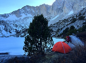
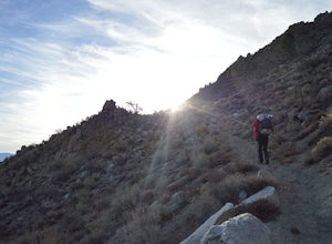
Backpack to Ruby Lake
5.04 mi / 1000 ft gainAt 10,200 feet, the trailhead (Little Lakes Valley) for Ruby Lake is one of the highest (if not the highest) in the Sierra. Meaning you get right to the heart of the mountains quickly. Ruby Lake itself is at 11,200 feet elevation.How to get there: At Tom's Place off of Hwy 395, turn southwest int...Read more -
Lakeshore, California
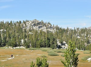
John Muir Trail: McClure Meadows
The transition from mostly sheer granite slopes to open grassy space is a welcomed one. Set up along the creek meandering through Evolution Basin and explore the area. You won't tire your legs out because it's pretty flat. Whip out your camera to catch some amazing reflections of the Sierra in th...Read more -
Mono County, California
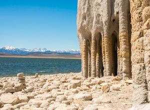
Explore Crowley Lake Columns
4.0Starting from Mammoth Lakes you head South on Highway 395 until you get to Benton Crossing Rd. (Green Church on the corner) and make a left.From Bishop you head North for about 30-40 miles until you hit Benton Crossing Rd. and make a right.From here, continue West and bending South for close to 2...Read more -
Mammoth Lakes, California
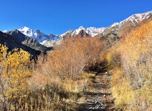
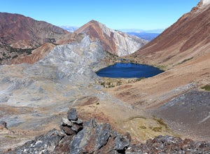
Hike to Steelhead Lake through McGee Creek Canyon
5.011.5 mi / 2510 ft gainWhether you’re looking for a dayhike near Mammoth Lakes, planning a backpacking trip along the JMT, or have a few extra hours to spare on a cross-California road trip, this is an easy and popular trail choice for killer mountain views.I was delighted to discover that this is one of the most easil...Read more -
Mammoth Lakes, California
Backpack to Red Slate Mountain
22 mi / 5600 ft gainI would recommend you spend the night in the area to acclimatize, since the trailhead does start at ~8,000ft and you will be hiking up to ~10,500ft at the end of the first day and climbing up to 13,100ft on the second day. One option would be to reserve a spot at the nearby McGee Creek Campground...Read more -
Mammoth Lakes, California
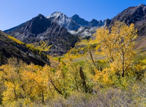
Photograph the Fall Colors of McGee Creek
5.03 mi / 500 ft gainMcGee Creek is one of my favorite spots in the Eastern Sierra to photography the fall color. Most people avoid the area because the best views require you to hike and explore but the rewards are worth it. Right close to the parking lot is McGee Creek which is a beautiful creek to photograph offer...Read more -
Lakeshore, California
John Muir Trail: Camping at Bear Creek
The trail follows the creek for a few miles as it cascades forming very tempting pools and places to lay out. Try to resist jumping in the first pool you see and setting up camp. Although you really can't go wrong, some of the sweetest and deepest pools come after passing by a few smaller pools. ...Read more -
Fresno County, California
John Muir Trail: Camping at Pinchot Pass
After the mild, but not negligible, 1000 ft ascent into Pinchot Pass, you'll be ready to rinse off the grime and take a rest. There are a few options for lakeside camping along the trail like Twin Lakes and an unnamed lake on the west side of the trail just beyond.This is a cool area because the ...Read more -
Wild Willy's Hot Spring, United States
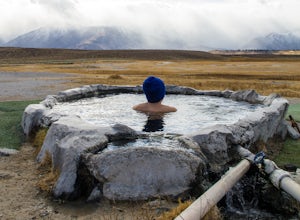
Wild Willy's Hot Spring
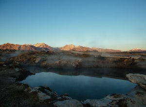
5.0Also known as "Crowley Hot Springs", Wild Willey's is located a short drive from Mammoth Lakes. For more information on the hot springs and the public land restoration, check out the BLM's Website. From Mammoth Lakes, head south on the 395 for 3.5 miles until you make a left at Benton Crossing Rd...Read more -
Mono County, California
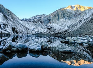
Fishing at Convict Lake
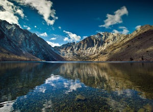
4.3Many people come to Convict lake for the fishing. Convict is located only 2 miles off the main highway in the Eastern Sierras. The lake is clear and pristine with beautiful views. There are various ways to fish here; some rent out boats or bring their own and cruise around the lake fishing. O...Read more -
Mono County, California
Summit Mount Baldwin (12,614')
15 mi / 5000 ft gainDirections The hike for Mount Baldwin starts at the Convict Lake trailhead. The turn off for Convict lake is about 4.5 miles south of the Mammoth Lakes exit along the 395 and roughly 35 miles North of Bishop, CA. Take this exit and follow the road West towards the mountains. Turn right at the ...Read more -
Mammoth Lakes, California
Convict Lake
4.92.46 mi / 56 ft gainIn 1871, a group of inmates escaped from a prison and were ambushed near the lake by a posse who had tracked them down. The inmates escaped the shoot out after killing two of the men in the posse and the lake now had a name – Convict Lake. You won’t witness a wild west shootout here, but if you ...Read more -
Big Pine, California
Backpack Atop Sawmill Pass
20 mi / 6700 ft gainAt 11,347 ft., Sawmill Pass lies on the Sierra Crest and enters Kings Canyon National Park in the Woods Creek area. Both the John Muir Trail (JMT) and the Pacific Crest Trail (PCT) can be accessed through this pass. The Sawmill Pass trail is a steep and arduous climb, gaining over 6700 feet of e...Read more -
Mammoth Lakes, California
Soak in Mammoth's Hilltop Hot Springs
4.3Mammoth’s volcanic valley floor is peppered with these natural steamy tubs with panoramic views of the Eastern Sierra. It’s pretty damn whimsical. My personal favorite is the Hilltop Hot Tub, which is a man-made stone pool fed by a bubbling, steamy creek. According to some corner of the web, it i...Read more

