Bishop, California
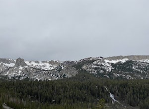
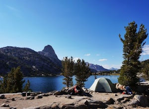
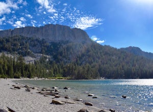
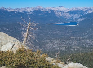
Bishop, California is a great destination for outdoor activities and attractions. Nestled between the Sierra Nevada to the west and the White Mountains to the east, Bishop offers a wide array of outdoor activities. For those who enjoy rock climbing, the Buttermilk Boulders and the Happy and Sad Boulders in the Volcanic Tablelands are popular destinations. These areas are not only for climbers but also offer scenic hiking trails, mountain biking routes, and opportunities for bird watching and photography. Bishop Creek Canyon, southwest of Bishop, is a natural wonderland of mountains, lakes, streams, forests, and waterfalls. It's a great place for camping, fishing, and simply enjoying the breathtaking scenery. Bishop has something for everyone, ensuring you get the most out of your trip and the beauty of nature.
Top Spots in and near Bishop
-
Crowley Lake, California
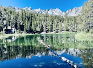
Emerald Lake
4.01.76 mi / 417 ft gainEmerald lake is a relatively short 1.7 mile out-and-back hike. There is ample parking at the parking lot and trailhead. There is also overflow parking at the upper lot for Duck Lake and Skelton Lake. The trail has a decent amount of uphill, but you should arrive shortly (<30 mins) at your de...Read more -
Mammoth Lakes, California
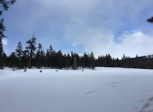
Snowshoe Shady Rest Park
2 mi / 100 ft gainShady Rest Park is located on Sawmill Road just minutes from the Mammoth Lakes town center. Start off by crossing through the parking lot headed north towards the large open field covered in snow. The open field is a great place to walk around and become comfortable with wearing and walking in sn...Read more -
Shaver Lake, California
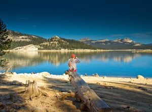
Camp at Voyager Rock Campground
4.0The paved road ends at the Maxson Trailhead parking lot on the SE side of Courtright Reservoir. The adventure starts with a glance to the left, down a rock-strewn dirt track that leads off further into the wilderness. You're wondering, "Is that the trail?" and "Do I dare?"The Dusy-Ershim Trail of...Read more -
Mammoth Lakes, California
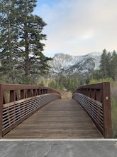
Waterford Bridge
The Waterford Gap bridge creates a picturesque view of the Eastern Sierra as it crosses over Mammoth Creek as part of the town loop and connects Majestic Pines Dr, which runs up to Eagle Lodge, with old Mammoth Road, which is a main road along the south and east edges of town. This is a great spo...Read more -
Mammoth Lakes, California
Photograph Lake Mary, Mammoth Lakes
4.0Lake Mary is the largest of the 11 lakes in the Mammoth Mountain area. Explore the lake’s perimeter and find your own perfectly peaceful place to watch one of Mammoth’s signature stunning sunsets. Parking is easy to come by either on the side of the road or at the marina parking lot up the road.B...Read more -
Mammoth Lakes, California
Lake George Trail
5.01.34 mi / 89 ft gainThe Lake George Loop is perfect for exploring the shoreline and fishing near the top of the Mammoth Lakes wilderness. The lake can get quite cold due to the elevation and surrounding mountains not allowing the sun to hit it for an extended time, but if you go during mid-day you should have a refr...Read more -
Mammoth Lakes, California
Crystal Lake via Mammoth Crest Trail
4.82.5 mi / 1257 ft gainIn Lake George, park along Lake George Road and walk towards Crystal Crag Trailhead sign to begin the hike. If you couldn't find it, you can head to the boat rentals by the lake and you will see a sign saying trailhead is behind you. The trail is well maintained and it is really easy to follow. ...Read more -
Mammoth Lakes, California
Lake Basin Path
5.04.43 mi / 554 ft gainLake Basin Path is an out-and-back trail where you may see beautiful wildflowers located near Mammoth Lakes, California.Read more -
Mammoth Lakes, California
Panorama Dome
4.00.91 mi / 259 ft gainThis is a great short hike, located near the turn off for Twin Lakes. Once you reach the top, you’ll be rewarded with 360 degree views of the lakes basin, the town, Mammoth Mountain, and the White Mountains. There was a little snow left at the top, when we hiked it over Memorial Day weekend. Eve...Read more -
Fresno County, California
John Muir Trail: Middle Rae Lake
You'll have to deal with some crowds at Rae Lakes but that is because this is an amazing setting to spend the night. If sharing this place with others is the worst of your worries then you're doing pretty well. Hikers flock here for the incredible swimming, views of iconic peaks like Fin Dome and...Read more -
Mammoth Lakes, California
McLeod Lake
5.01.84 mi / 390 ft gainStart your journey at the Mammoth Pass Trailhead at the back of the parking lot for Horseshoe Lake. From the start, the trail ascends steadily through dense pines, and big granite stair steps. Although it is a moderately steep route (and the altitude doesn't help), it is only about 0.6 miles to ...Read more -
Lakeshore, California
Hike to White Bark VIsta
2.3 mi / 462 ft gainA short 1 mile hike in from Kaiser Pass will lead you to the top of a ridge line with incredible views toward the east. There are two pit toilets located at the top of Kaiser Pass. If you have a high clearance, 4x4/AWD vehicle you can probably drive to this location. (I made it up here in a stock...Read more -
Mammoth Lakes, California
Backpack from Mammoth Mountain to Yosemite Valley via the John Muir Trail
5.052 mi / 6300 ft gainCross country hiking can be a daunting idea. There are so many things to plan for, and such a long distance to cover. If you are an experienced backpacker, and you want to get a taste of hiking on the John Muir Trail this hike might interest you. Planning GPS Map (Caltopo): https://caltopo.com...Read more -
Mammoth Lakes, California
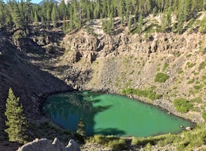
Inyo Craters Trail
4.01.51 mi / 253 ft gainInyo Craters Trail is a loop trail that is good for all skill levels located near Mammoth Lakes, California.Read more -
Mammoth Lakes, California
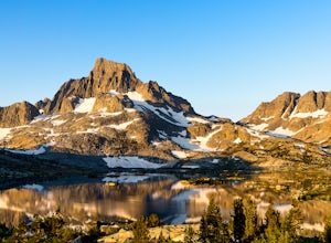
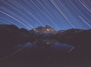
Backpack to Garnet Lake
5.014 mi / 2030 ft gainAlthough this trip specifically describes how to get to Garnet Lake, there are several other pristine alpine lakes (Shadow Lake and Thousand Islands Lake) along this looped trail, only a few short miles away from each other, that are just as worthy if you have the time. A minimum of 3 days/2 nigh...Read more -
Mammoth Lakes, California
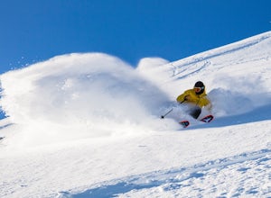
Ski and Snowboard Mammoth
5.0At 11,053 feet, Mammoth boasts the highest summit of any California resort, making for deeper, higher quality snow, beautiful views and a season that can last until July. And with 3,500 skiable acres, 400 inches of snowfall and an average of 300 days of sunshine per year, we enjoy re-earning our...Read more

