Big Creek, California
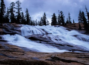
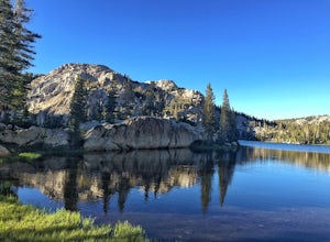
Big Creek, California offers some of the best trails and outdoor activities. One must-visit is the Big Creek Trail, a scenic route that takes you through a dense forest of pine and redwood trees. The trail is moderately challenging, making it perfect for those seeking a bit of an outdoor adventure. Along the way, you'll pass by the stunning Big Creek Bridge, a historic landmark that provides panoramic views of the surrounding wilderness. The trail also features a variety of natural attractions, including the roaring Big Creek Falls and the tranquil Big Creek Lake. Whether you're into hiking, birdwatching, or simply enjoying the great outdoors, Big Creek is a top destination for all.
Top Spots in and near Big Creek
-
June Lake, California
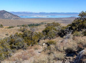
Parker Lake Trail
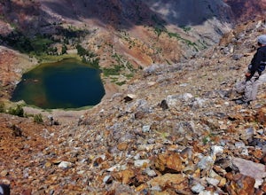
5.03.55 mi / 584 ft gainParker Lake is tucked beneath the giant mountains of Mount Wood, Mount Lewis, and Parker Peak. I hiked the Parker Lake trail during peak foliage season and I was blown away by the amazing fall colors. The trail starts off with a steady and rocky climb. After you pass the elevation gain, the trail...Read more -
Mariposa County, California
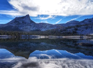
John Muir Trail: Camping at Lower Cathedral Lake
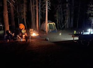
5.0Make the .75 miles detour off of the John Muir Trail to reach this spot and you won't regret it. Lower Cathedral Lake is typically less populated than nearby Upper Lake and has some of the mot beautiful scenery on the JMT. Sunrise and sunset with the reflection of Cathedral Peak on the glassy wat...Read more -
Mariposa County, California
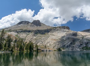
May Lake Trail
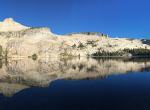
4.02.34 mi / 489 ft gainMay Lake is a stunning, serene subalpine lake that rests at the base of Mt. Hoffmann. The May Lake turnoff is located four miles past Tenaya Lake. From the turnoff, it's 1.8 miles to the trailhead parking lot. During summer time, I will recommend getting to the parking area early to get a spot ...Read more -
Mariposa County, California
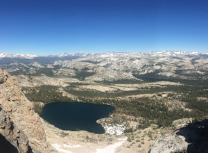
Mt. Hoffman via May Lake Trailhead
5.55 mi / 2140 ft gainThe May Lake trailhead is at the end of a 2-mile unpaved road leading north from Tioga Road. The trailhead has pit toilets and bear lockers. (Please be sure to store any food, garbage, scented items, and empty coolers in these lockers while hiking!) After hiking an easy 1.3 miles, you'll arrive ...Read more -
Mariposa County, California
Hike Mt. Hoffmann via the East Chute
6 mi / 3000 ft gainThis is a solid, day long trip. It is a great hike with a bit of a scramble on the way up to the summit massif and then again at the nearly 11,000-foot peak of Mount Hoffmann. You will have what John Muir described as his favorite view of Yosemite. You can look down onto Half Dome and across the ...Read more -
Lee Vining, California
Hike to Upper Sardine Lake
Directions (from south of June Lake): 395 northTurn right onto the 158Keep right at fork onto Parker Lake Rd and go about 0.5 milesTurn right at first right and head all the way to the top until you hit a parking lot/camping ground/trail head From North of June Lake: 395 southTurn left at 158Keep...Read more -
Tuolumne County, California
Backpack to Nelson Lake
17 mi / 1000 ft gainHead to any Yosemite wilderness station for a map, bear canister, and permit for Nelson Lake. The trail itself starts in the Tuolumne Campground at Elizabeth Lake trailhead. Follow the trail 2.2 miles up to Elizabeth Lake and remember the lake itself is in a no-camping zone, so you must continue ...Read more -
Tuolumne County, California
Camp at Tuolumne Meadows Campground
5.0Tuolumne Meadows is on Tioga road northeast of Yosemite Valley, at elevation 8,600 feet. Sites are available July-September at $26. Dogs are allowed but be sure to pack the leash! More info: https://www.nps.gov/yose/plany...Read more -
Fresno County, California
John Muir Trail: Camping at Pinchot Pass
After the mild, but not negligible, 1000 ft ascent into Pinchot Pass, you'll be ready to rinse off the grime and take a rest. There are a few options for lakeside camping along the trail like Twin Lakes and an unnamed lake on the west side of the trail just beyond.This is a cool area because the ...Read more -
Tuolumne County, California
Tulomne Meadows to Donohue Pass via JMT
5.027.56 mi / 2953 ft gainDonohue Pass lies on the border of Yosemite National Park and the Ansel Adams Wilderness. Both the John Muir Trail (JMT) and the Pacific Crest Trail (PCT) route through this pass at 11,056 ft. A challenging but beautiful hike that starts from Tuolumne Meadows and follows the JMT for 12.5 miles t...Read more -
YOSEMITE NATIONAL PARK, California
Enjoy a Sunset at Tuolumne Meadows
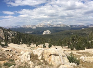
5.0Tuolumne Meadows at an elevation of 8,619 feet exemplifies the high country of the Sierra Nevada, with its sweeping sub-alpine meadows, granite domes, summer wildflowers and meandering rivers. When the forest opens up park along the side of the road and find a trail. There are also plenty of near...Read more -
YOSEMITE NATIONAL PARK, California
Fletcher Lake and Vogelsang Peak
19.03 mi / 2887 ft gainBefore you head out for the trip, you’ll need to get a wilderness permit. You can get one online from the Yosemite website or pick one up at the Tuolumne Meadows Wilderness Center or from the Wilderness Center in Yosemite Valley. Go to Yosemite and take Highway 120 up to Tuolumne Meadows. You ca...Read more -
37.872112,-119.370472
Hike to Waterwheel Falls
17.32 miWaterwheel Falls may be the most unique waterfall in Yosemite. During high waterflow an extraordinary phenomenon appears as the raging water hits a series of ledges creating a plume, this coupled with strong gust blowing upward create cyclical "waterwheel" effect hence the name. On a good day th...Read more -
Tuolumne County, California
Backpack to Boothe Lake
5.016.6 mi / 1400 ft gainStarting at the Tuolomne Meadows Visitor Center you will head south to jump on the John Muir Trail, move east for 2.8 miles on the JMT until the trail intersects with the Vogelsang High Sierra trailhead, you head south when you reach this trail. Once you hit the Vogelsang trail you are 5.5 miles ...Read more -
Tuolumne County, California
Photograph Dana Fork
Yosemite is filled with some amazing views but rarely do you get to experience these views by yourself. This hidden treasure is located off of Tioga Pass, is near some of Yosemite’s most popular hikes, and offers an outstanding sunrise and sunset views without the crowds. Located 2.5 miles Sout...Read more -
37.876736,-119.346085
Glen Aulin
4.812.19 mi / 600 ft gainStart your hike to this waterfall oasis in the heart of the sierra at the parking lot for the Tuolumne Meadows Visitor Center. The Glen Aulin High Sierra Camp sits along the beautifully winding Tuolumne River. White Cascade an 80ft waterfall sits at the edge of camp and provides an excellent swim...Read more

