Top Spots in and near Big Basin Redwoods State Park
-
Pacifica, California
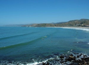
If you're looking for a place to surf and Ocean Beach isn't quite your speed or Santa Cruz is too far, head to Pacifica, specifically Linda Mar. Linda Mar is usually more wind protected and user-friendly than ocean beach. Break out your longboard or hybrid board and head to this beach. There is e...
Read more
-
San Bruno, California
4.5
3.88 mi
/ 646 ft gain
Starting from the parking lot on Sneath Lane Trail, you’ll head through the gate and continue on the path up Sweeney Ridge. This is a 5.7 mile out-and-back trek. There is a 600 ft. elevation gain, which comes mainly in the first 1.5 miles of the trail. Your legs and lungs may hurt a bit, but if t...
Read more
-
Pacifica, California
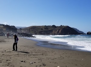
Rockaway is a dark sandy beach located in the south of Pacifica, CA. It has numerous hiking trails around it, most notably Mori Point. The Mori Point trail will take you through the hills and overlooks Rockaway Beach. There are paths to come down to the beach.
There are biking paths and park...
Read more
-
Pacifica, California
4.8
2.54 mi
/ 276 ft gain
Start at the parking lots close to the pier, where bathrooms are also available. Walk along the pier to watch the sunset as it begins.
Next, walk along Sharp Park Beach to discover the plethora of wild flowers and friendly locals always ready to guide you on your walk.
Take the stairs up to the...
Read more
-
Mount Hamilton, California
Hop on Road 130 heading out of San Jose and follow the winding two lane road up, up, up to to the top of Mt. Hamilton and the Lick Observatory. There are lots of deer, wild turkey, and pigs in the area. If you are lucky you will get to see a herd of deer grazing in a meadow. But be careful that y...
Read more
-
Pacifica, California
5.0
2.51 mi
/ 558 ft gain
Found this hike with some friends after spending some time googling in my car when we were in the area looking for a quick hike with a view!
Dog friendly Free parking (but quite limited) Ocean views Known to have gorgeous wildflower blooms (we were not there during this)Porta-potty type toilet...
Read more
-
Pacifica, California
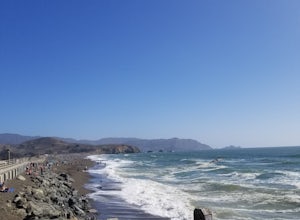
A medium size beach with darker sand with big rocks and a paved path for walkers and joggers. The beach is a great place to bring a picnic and watch the sunset. It is located next to Pacifica Pier, which is popular for fishing.
Read more
-
Pacifica, California
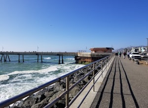
This is a great place for fishing or just taking a walk to watch the sunset. It's a great place to walk or jog, or even bring a pup! There are lot of people fishing throughout the pier.
A short walk away is Sharp Park Beach, where you can relax and bring a picnic to watch the sunset.
Read more
-
Moss Landing, California
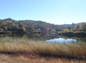
Elkhorn Slough is located in Moss Landing, which is in the dead center of Monterey Bay, California. Elkhorn Slough is one of California's largest wetlands and part of a National Estuarine Reserve located in central Monterey Bay, California, just a short trip from the Monterey Peninsula and the Sa...
Read more
-
Moss Landing, California
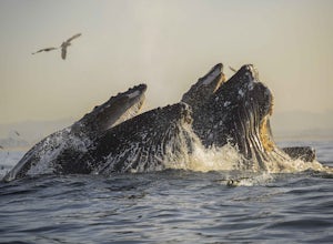
Disclaimer: Please keep a respectful distance from the whales and other sea wildlife for their protection and your own. Note, changing the animal's natural behavior is a violation of federal law.Every year, humpbacks whale migrate north from their winter and breeding grounds down in southern Mex...
Read more
-
Sunol, California
4.3
6.4 mi
/ 1443 ft gain
Pleasanton Ridge Trail is a 6.4 mile loop. The loop is shared by dog walkers, trail runners, hikers, mountain bikers and horseback riders. From the ridge your viewpoints will include Mount Diablo and the San Francisco Bay.
This hike from the Foothills Staging Area is an excellent introduction ...
Read more
-
Moss Landing, California
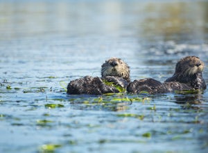
The Monterey Bay National Marine Sanctuary is home to some of the most diverse and rich waters in our oceans, and you have the chance to see it up close and personal! The big prize is getting to see a whale, but these waters are teeming with other wildlife from dolphins to otters to sea lions.
F...
Read more
-
Daly City, California
4.0
1.95 mi
/ 322 ft gain
Mussel rock, a three-story, 50 million year old rock that has been carried some 500 miles northwest from Southern California, is where the San Andreas fault meets the Pacific Ocean.
It's also an excellent spot to drink some wine and catch a sunset.
From San Francisco, take Highway 1 south towar...
Read more
-
Morgan Hill, California
This trail can be started from Coe Headquarters or Hunting Hollow Trailhead. The trail from Coe HQ is 2 miles longer, almost all elevation but provides beautiful views of the surrounding mountains. These directions will be starting from Coe HQ.Follow the loop around the parking area to the backpa...
Read more
-
Morgan Hill, California
5.0
26.4 mi
/ 3600 ft gain
If you're tired of trying and failing to get reservations for backcountry camping around the bay area, then Henry Coe State Park is the perfect place to visit. No reservations need to be made prior to the trip. All you need to do is get to the HQ on the morning of your trip, get your permits and ...
Read more
-
Daly City, California
4.0
3.63 mi
/ 781 ft gain
San Bruno Mountain is a fun, mellow hike that climbs easily on a well-graded path to the ridge line, and then drops back to the trailhead. Along the way, the trail runs along a creek, ascends through chaparral, and provides excellent views of downtown San Francisco, the East Bay hills, and the Sa...
Read more

