Top Spots in and near Big Basin Redwoods State Park
-
Santa Cruz County, California
Nestled in the Santa Cruz Mountains, Henry Cowell Redwoods State Park is a great weekend option for Bay Area residents. With approximately 30 miles of hiking trails, the incredible Garden of Eden swimming hole, and proximity to Santa Cruz - this campground is not to be missed! On sunny days, view...
Read more
-
Palo Alto, California
Getting There:
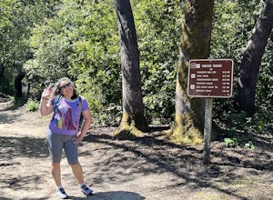
From Hwy 280, take the Page Mill Road exit and head West on Page Mill Road, away from Downtown Palo Alto (if you're taking 101, exit on Oregon Expressway). Then turn right on Arastradero Road. There will be a small sign indicating the dirt parking lot on the eastern side of the str...
Read more
-
Los Gatos, California
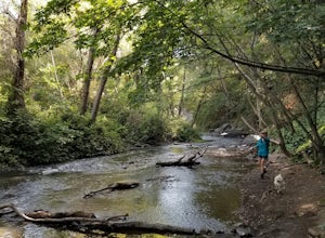
This trail winds its way along the Los Gatos Creek and ends at the Lexington Reservoir before looping back to the start. It is 3.8 miles and makes for a great way to get exercise and relax in nature. You can hear the creek as you hike, and can even go down to it. There is a lot of green foliage t...
Read more
-
Santa Cruz, California
The Rincon Fire Trail Starts at a small dirt parking lot next to CA-9 and traverses down the mountain to the San Lorenzo River Connecting with the Pipeline Trail. The trail can be a simple one of a mile out and back or up to 5 miles depending on your preference. The elevation will change by about...
Read more
-
Santa Cruz, California
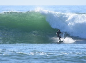
Four Mile is a reef/point break that is a couple of miles north of town. This spot usually picks up more swell than in town so it is a popular spot for many locals to surf. When the swell picks up, it offers long rights towards the beach. The current can be strong when there is a lot of swell in ...
Read more
-
Redwood City, California
4.4
8.8 mi
/ 1900 ft gain
This hike starts at the middle parking lot of the El Corte de Madera Open Space Preserve. The middle lot is located roughly a mile south on Skyline Boulevard from the Skeggs Point Vista. From the parking lot, take the Methuselah Trail for 0.3 miles until you reach the Timberview Trail. Take this ...
Read more
-
Woodside, California
5.0
4.5 mi
/ 1400 ft gain
Located in the iconic Silicon Valley town of Woodside, Wunderlich County Park offers a number of hiking trails as well as some horseback riding trails through the wilderness.
Once in the parking lot, you will see a number of stables, riding ring, as well as a beautiful historic stable that was o...
Read more
-
Stanford, California
4.4
3.67 mi
/ 472 ft gain
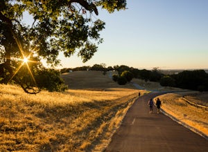
If you live in the Palo Alto area and are looking for a place to hike or run, The Dish is a close, and great way to get that exercise. Located right on the corner of Stanford Ave and Junipero Serra, you'll see that small gated entrance right when you drive on by. As far as parking goes, you're le...
Read more
-
Santa Cruz, California
No matter the time you'll decide to visit the UC Santa Cruz Arboretum, you'll have thousands of interesting plants and birds to see and watch. The Arboretum is located on the west side of UCSC campus, between the main campus entrance and the west entrance. Parking is 5$ for adults and 2$ for chil...
Read more
-
Redwood City, California
This loop hike will provide people with the opportunity to experience the tranquility of the lower canyons of the preserve, which tend to be more isolated than the heavier-trafficked trails that are closer to the main highway.
Be warned that this hike is fairly strenuous because of the large amou...
Read more
-
Stanford, California
Kite Hill is nothing more than what the name describes. A simple ascent less than 100 feet in elevation. But that 100 feet is all you need to feel like you discovered a little escape from the buzz below.To get there, you can park directly at the base of Kite Hill along Peter Coutts Rd and simply ...
Read more
-
Half Moon Bay, California
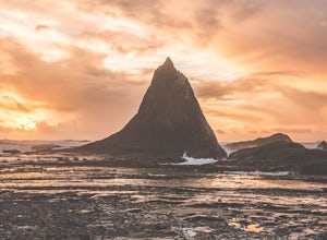
Martin's Beach is a beach about 7 miles south of Half Moon Bay. It features a large, very cool looking rock formation right off the coast. This beach is accessible via Martin's Beach Road, which is a small turn off on your right when southbound on Highway 1, though sometimes the road is only open...
Read more
-
Santa Cruz, California
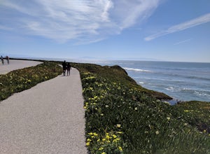
This is a paved trail that can be used for hiking, jogging, or walking. It offers over 2 miles of beautiful California coast. Walk through flowers, see the jagged cliffs, and of course the lighthouse at the end! This walk can be done from either direction. Start at Natural Bridges and head We...
Read more
-
Santa Cruz, California
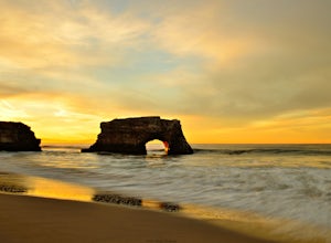
Natural Bridges State Beach is a wonderful place to photograph located in Santa Cruz off of West Cliff Drive. This is a great place to practice long exposure photography to capture awesome water movement as it passes through the "Natural Bridge" formation.
The best time to shoot this spot is at ...
Read more
-
Santa Cruz, California
Natural Bridges is off of West Cliff Drive to the north of popular Santa Cruz break, Steamer Lane. The break is a right point break, which breaks on a rocky shelf and reef. The break is best during sizable swells (NW, SW, and West) and a low tide. Be sure to check the wind, this break gets blown ...
Read more
-
Santa Cruz, California
The park's Monarch Grove provides a temporary home for thousands of Monarchs. From late fall into winter they make this their home and if you time it perfectly you can see them in clusters in the trees.
When you reached the Natural Bridges State Park, on the right of the Visitors Center you'll f...
Read more

