Antioch, California
Looking for the best photography in Antioch? We've got you covered with the top trails, trips, hiking, backpacking, camping and more around Antioch. The detailed guides, photos, and reviews are all submitted by the Outbound community.
Top Photography Spots in and near Antioch
-
Clayton, California
Hike Mt. Diablo
4.413 mi / 3323 ft gainMt. Diablo has some of the most expansive views in California, despite it's relatively low peak elevation. It played a large role in the surveying the Bay Area during its early discovery. Getting There: To get to the staging area, take Interstate 80 to I-680 to Highway 4. Exit at Railroad Bouleva...Read more -
Walnut Creek, California
Camp at Juniper Campground in Mount Diablo SP
Mount Diablo's summit in Mount Diablo State Park rises to 3,848ft, with Juniper Campground in Mount Diablo SP is at approximately 3,000ft in elevation. Juniper Campground overlooks the valley below and some of the San Francisco Bay. Reservations for Juniper Campground can be made at Reserveamer...Read more -
Danville, California
Hike in Mount Diablo's Madrone Canyon
2.8 mi / 550 ft gainThis hike starts at the Rock City area of Mount Diablo State Park. Begin at the Madrone Canyon Trail, hiking southeast towards the Devils Slide trail. Along this section of the hike, the trail dips into a wooded canyon and follows the path of a small creek. To best experience the beauty of the cr...Read more -
Walnut Creek, California
Run the Mt. Diablo Foothill Loop
5.06.2 mi / 875 ft gainContinue by car down Castle Rock Road until it dead ends at the beginning of the trail. Parking is usually easy to find. If full, there is another overflow lot about 500 ft back the way you came in.You'll walk a good half mile down the trail before getting the main gate. As you're walking, you'll...Read more -
Fairfield, California
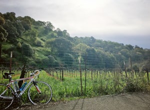
Bike the Gordon Valley to Wooden Valley Scramble
5.013.5 mi / 498 ft gainThis is a 13.5 mile loop route in Fairfield, California. The route has a total ascent of 498 feet and has a maximum elevation of 369 feet.Begin your ride at the corner of Oliver Road and Mankas Corner Road. Along Mankas Corner Road you'll pass the Napa Grass Farmer community farm and Il Fiorello ...Read more -
Oakland, California
East & West Ridge Loop
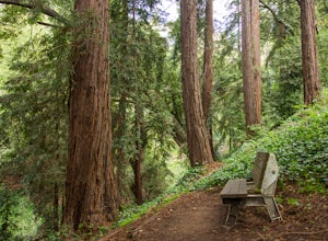
4.53.47 mi / 833 ft gainTucked away in the hills of Oakland, you will find one of the homes of California's Coastal Redwoods. Created by a unique geographical circumstance, this forest breathes winds funneled through the Golden Gate across the bay, which created environment opportune for Redwood growth. These Redwoods a...Read more -
Oakland, California
Grizzly Peak
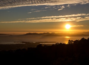
4.8A well-known sunset spot in the East Bay, and rightfully so - the views from Grizzly Peak are stunning. You have several pull-offs to pick from. The larger ones have logs to sit upon. The smaller pull-offs offer benches and sturdy rocks. Take your pick! You will share the sunset with some strang...Read more -
Berkeley, California
Wildcat Peak via Nimitz Way
4.74.16 mi / 459 ft gainTilden Park is a beautiful recreational area with scenic hiking trails, a swimming lake, small animal farm, a steam train and botanical gardens. The versatility of this park makes it very family and kid friendly, and those who are looking for a moderate hike within the park have almost forty mile...Read more -
Vacaville, California
Bike the Cantelow Climb
5.019.68 mi / 1119 ft gainBegin your ride from Lagoon Valley Park in Vacaville, California. There is a parking lot here if you drive to the start of your ride (the park entrance fee is $3 per vehicle per day). Head out of the parking lot and turn right onto Rivera Road where you'll cross over Hwy 80. The road becomes Cher...Read more -
Berkeley, California
Hidden Waterfall in Codornices Park
4.00.5 miPark along the street in front of Codornices Park in Berkeley. Follow the stream to the left of the playground. Take the path up the hill to the right (don't head over the bridge on the left). Keep walking up multiple concrete stairs. After the first flight of stairs you'll see a path on the left...Read more -
Berkeley, California
Berkeley Rose Garden
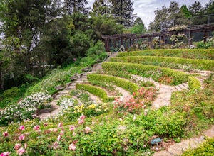
4.0I'm always surprised at how few people know of this beautiful garden. I'm often alone when I visit, which allows for perfect serenity. Visit in early spring for maximum blooms. Park on Euclid Ave, which is where you'll find the entrance to the amphitheater (you can't miss the giant sign). Spend ...Read more -
Livermore, California
Hike the East Shore Trail Loop
3.7 mi / 1040 ft gainThis hike is best done during the spring, fall, or winter when moderate temperatures make the hike more comfortable. Be warned that this hike has a large elevation change despite being less than 4 miles. Starting at the Arroyo Road Staging Area, take the East Shore Trail east, heading towards a s...Read more -
Galt, California
Hike the Cosumnes River Walk Trail
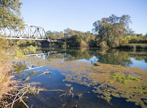
3.1 mi / 16 ft gainThis trail is a short, easy, accessible and beautiful trail for a nice afternoon walk (or photoshoot). I recommend the River Walk Trail (~3 miles). It is flat and easy to walk. There are multiple loops so you can turn back at any time. There are small bridges, access to the water, meadows, e...Read more -
Richmond, California
Explore Point Pinole Shoreline
5.0Point Pinole Regional Shoreline is a 2,315-acre parkland that juts out into the San Pablo Bay. Only a brief car ride from San Francisco, this is a great spot for a Sunday stroll, picnic or simply to find a quiet space.There are several short trails to choose from that wind through eucalyptus grov...Read more -
Napa, California
Lake Marie Road, Marie Creek, Buckeye Trail Loop
3.55.8 mi / 961 ft gainEnter the parking lot just off of Hwy 221. Plan to pay a $5 entrance fee at the kiosk. The trail head begins at the edge of the parking lot where you'll soon be passing by the Martha Walker Native Habitat Garden on your right. Veer left to continue along Lake Marie Road where you'll enter the blu...Read more -
Napa, California
Kayak the Napa River
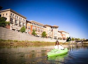
4.0The Napa River is one of the largest California Central Coast Range rivers, draining approximately 426 sq. miles on its 50 mile journey beginning just south of the summit of Mt. St. Helena to the San Pablo Bay, passing through many of the landmark towns of Napa Valley including an incredible 6 mi...Read more


