Sand Gap, Arkansas
Top Spots in and near Sand Gap
-
Witts Springs, Arkansas
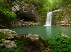
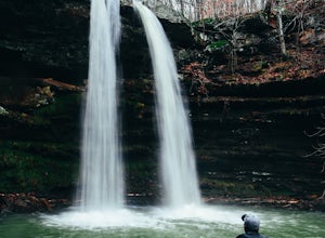
Hike to Punchbowl Falls
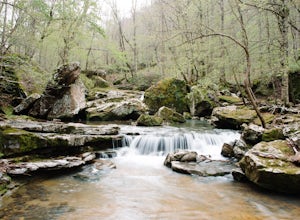
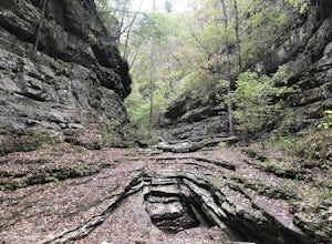
3.24 mi / -600 ft gainGo in the early Fall or late Spring! You start off on the Ozark Highland Trail. As you start walking along the trail you can see where people have slept the night before. Camping is acceptable out here, you do not have to pay, but the downside is that the closest town is about an hour away so if ...Read more -
Jefferson Township, Arkansas
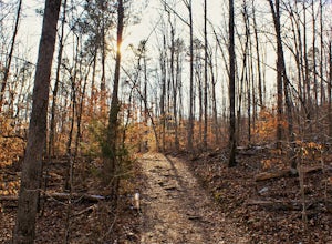
Hike the Glory Hole Falls Trail
4.42 mi / 345 ft gainThis trail and waterfall is located 13.8 miles south of Boxley, AR or 5.7 miles east of Fallsville, AR. The easiest way to get to the trailhead is to locate the Cassville Baptist Church on your GPS system. If you are headed east, the church is 0.7 miles east of the trail. If you are headed west, ...Read more -
Deer, Arkansas
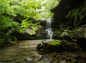
Hike to Magnolia Falls
5.02.5 miThis adventure starts at the parking area that is marked by a Wilderness Area sign. The trailhead is actually the old jeep trail that makes its way through the woods. Follow the jeep trail past a few old campsites and an camping registration box. The trail will cross over a small creek bed and...Read more -
Jasper, Arkansas
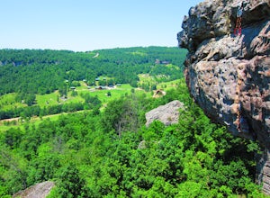
Climb at Horseshoe Canyon Ranch
4.7Horseshoe Canyon Ranch (HCR) 36°0'25"N 93°17'23"W is located just West of Jasper, Arkansas and hosts hundreds of sport/trad climbing routes ranging from 5.6 to 5.13a! Driving into the canyon, you will follow along a dirt road to the gate for Horseshoe Canyon. Continue down, past the barn to the...Read more -
Kingston, Arkansas
Hike Big Spring Trail
5.5 mi / 500 ft gainBig Spring Trail is located in Smith Creek Preserve just south of Boxley, Arkansas. There is a small parking area at the entrance. Detailed maps of the area provided by The Nature Conservancy can be found just past gate. Walk through the gate and begin your hike with a steady decline down the s...Read more -
Jasper, Arkansas
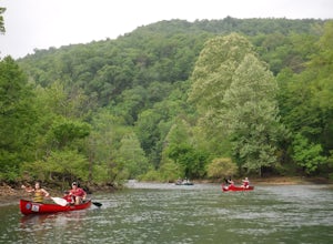
Canoe or Kayak the Buffalo River From Pruitt Landing to Hasty
5.0The Buffalo River is America's first National River and flows freely for 135 miles. Many of the upper sections are whitewater, but lower down there are some great, flat, easy paddling spots that are fantastic for canoes!As with all river paddling you need to first shuttle a car down to the take o...Read more -
Kingston, Arkansas
Backpack Along Whitaker Creek
5 miAfter arriving at the Whitaker Point/Hawksbill Crag trailhead, start going down the path for about 1/8th of a mile. You’ll cross a small stream, and here is where you’ll turn off the trail. Using Whitaker Creek as your guide, follow it like a handrail as it descends down into the confluence with ...Read more -
Kingston, Arkansas
Hawksbill Crag via Whitaker Point Trail
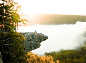
4.52.68 mi / 594 ft gainHawksbill Crag aka Whitaker Point is one of the most popular hiking spots in all of Arkansas and only ~60 miles from Fayetteville. However, doing the hike early in the morning provides one of the best places of all time to watch a sunrise. You begin at the trail marker which is straight across ...Read more -
Kingston, Arkansas
Neil Compton's Double Falls
4.02.15 mi / 404 ft gainThe parking area for Neil Compton’s Double Falls is approximately 1.1 miles past the trailhead for Hawksbill Crag on Cave Mountain Road. Cave Mountain Road is steep and can get pretty muddy after a good rain. A vehicle with 4WD is recommended although plenty of people make it up in small cars. ...Read more -
Harrison, Arkansas
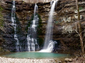
Twin Falls (aka Triple Falls)
5.00.27 mi / 72 ft gainProceed to the Camp Orr Campground down near the banks of the Buffalo River. Once you reach the bottom of the hill you will cross a low water bridge over a small creek. Park in the small parking lot on the right hand side once you cross the creek. Once you park simply walk through the gated are...Read more -
Kingston, Arkansas
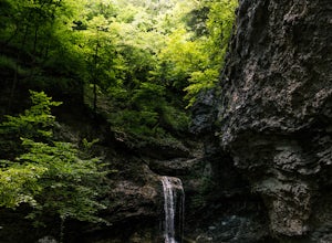
Eden Falls via Lost Valley Trail
4.92.32 mi / 453 ft gainThis is a beautiful trail that is easily accessible and only a short 3 mile hike. Start at the trailhead on the north end of the parking area. There is a map and some details about the main features of the trail. The first main feature that you come to on the trail is a beautiful bluff with a ...Read more -
Harrison, Arkansas
Camp at Kyle's Landing
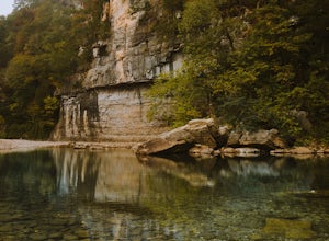
5.0Kyles Landing is located directly beside the beautiful Buffalo river, hardly a stone's throw from the cool refreshing water. With huge bluffs soaring over 400ft into the air, multiple hiking trails available, and access to the river itself, the campground is a perfect weekend getaway to get outsi...Read more -
Jasper, Arkansas
Paddle the Buffalo National River: Ponca to Kyle's Landing
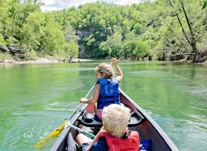
5.010.3 miPut in at the Ponca Bridge, or Steel Creek if the water is too low, for the most scenic float in Arkansas. Paddle surrounded by 3-400 foot bluffs, and through slightly challenging water here and there. Great float for kids as there are plenty of swimming holes.I've done this with my own elementar...Read more -
Jasper, Arkansas
Buffalo River Trail: Ponca to Steel Creek
4.35 mi / 1079 ft gainStart this adventure by crossing the Ponca Low Water Bridge over the beautiful Buffalo National River and proceed up the path till you reach the trail sign on the other side. You have the option of going either right or left at this point, follow the sign to the left and you will see a gate (sim...Read more -
Harrison, Arkansas
Indian Creek to The Eye Of The Needle
5.04.27 mi / 705 ft gainStarting at approx. 900' in elevation, this 5 mile out and back hike ascends 700' in elevation to 1,400 at the highest point- The Eye of The Needle. The trail head is located next to the Buffalo River sign at Kyles Landing on the West side of the campground. You will follow the trail less than ...Read more -
Jasper, Arkansas
Camp along the Buffalo National River
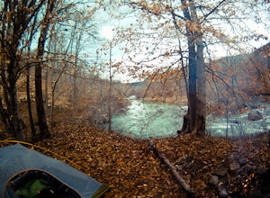
5.02 miThis is a night of camping that is one for the books. Head to the Steele Creek area on the Buffalo River. Once you are in the Steel Creek area simply follow the gravel road to the right and park anywhere in the grass along the river. Camping is permitted anywhere along the Buffalo River as lon...Read more

