Williams, Arizona
Looking for the best hiking in Williams? We've got you covered with the top trails, trips, hiking, backpacking, camping and more around Williams. The detailed guides, photos, and reviews are all submitted by the Outbound community.
Top Hiking Spots in and near Williams
-
Sedona, Arizona
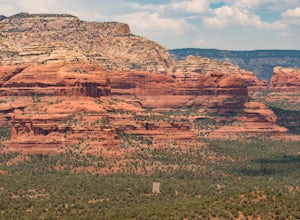
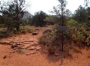
Hike Doe Mountain
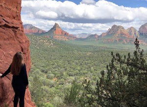
5.01.4 mi / 400 ft gainThe trail begins almost immediately with some gradual switchbacks that climb up the mesa at a moderate incline. As you climb you will come to a trail junction with the Aerie trail about .3 in. At this junction just make sure to stay on the trail marked towards Doe Mountain and not on the Aerie tr...Read more -
Sedona, Arizona
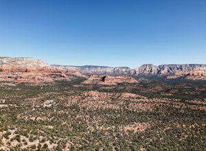
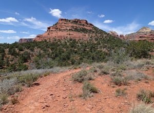
Doe Mountain Trail
1.49 mi / 446 ft gainDoe Mountain Trail is a loop trail where you may see beautiful wildflowers located near Sedona, Arizona.Read more -
Flagstaff, Arizona
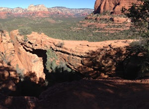
Humphreys Peak Summit
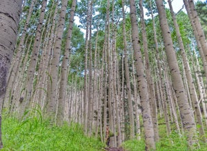
5.09.57 mi / 2759 ft gainIf you think you might only get one chance to hike Humphreys Peak in your life, I recommend this hike so that you can have a unique view experience of the east and west sides of the Peaks. This is a shuttle hike of Humphreys Peak which combines the Humphreys Peak Trail and the Humphreys via Inner...Read more -
Sedona, Arizona
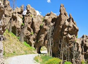
Hike the Cockscomb Trail
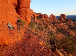
1.5 mi / 330 ft gainThis is a wonderful less traveled trail that is fairly easy hiking, at least until you reach the base of the Cockscomb. It does not have much shade. I recommend hiking this trail late afternoon into sunset as the trail weaves between Doe Mountain and the Cockscomb on the west side. The setting su...Read more -
Sedona, Arizona
West Fork Trail
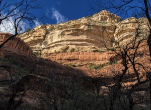
5.06.49 mi / 1102 ft gainThis is one of the most beautiful hikes in Sedona, Arizona. It is a fairly easy hike, although it is 6 miles roundtrip. A lot of families come here, and children love to play in the water. There are various stream crossings, but for most of them, you should be able to keep dry. The canyon walls ...Read more -
Sedona, Arizona
Climbing at Oak Creek Canyon
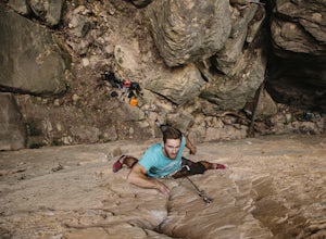
5.0Getting There About 18 miles south of Flagstaff on the 89A, turn into the Cave Springs parking lot and look for the trail just right of the first bridge. Hike up the chossy hill until you reach a giant sandstone slot canyon in the northwest. Climbing This canyon contained the crags, known as the ...Read more -
Flagstaff, Arizona
Frisbee Golf at McPherson's
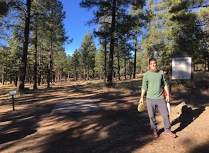
1 miMcPherson's is a public disk golf course five minutes north of downtown Flagstaff. The course is seasonally open from May - November. There are no tee times, and it is free to play. A somewhat tightly wooded 18-hole course with multiple pin placements makes this fun for beginners and a challenge...Read more -
Sedona, Arizona
Hike to the Birthing Cave
5.02 mi / 291 ft gainThe hike is an easy one, flat and not too long. In the spring you'll see lots of flowers. Note, the popularity of this Sedona cave has grown in the past year, so you will most likely encounter other hikers and mountain bikers. You start from the Long Canyon Trailhead, and I recommend going earl...Read more -
Sedona, Arizona
Brins Mesa - Soldier Pass Loop
5.07.6 mi / 1040 ft gainThis loop starts from Vultee Arch Rd. Important to note that doing this loop from here requires a high clearance 4x4. In this direction, the trail starts off flat and crosses a dry creek bed several times. The trail is relatively easy to follow. This section passes through junipers that offer som...Read more -
Sedona, Arizona
Mescal Mountain Loop
4.59 mi / 453 ft gainThe Mescal Mountain Loop Hike circles Mescal Mesa uses three different trails. Park at the Mescal Trail parking area on Long Canyon Road. The Mescal Trail is 2.4 miles long and winds up to the base of the mesa where it travels along beautiful open slick rock. It is an easy hike but the trail is ...Read more -
Sedona, Arizona
Devil's Bridge via Mescal Trail
3.95 mi / 548 ft gainThe Devil's Bridge trail head itself is accessible via a road meant for 4x4s, which your average car cannot handle. The best way around this is to park at the Mescal Trail on Long Canyon Road. From Dry Creek Road, turn right on to Long Canyon Road, where you will see trail maps and a small parkin...Read more -
Flagstaff, Arizona
Bike along the San Francisco Peaks on Waterline Road
4.020 mi / 3000 ft gainWaterline Road is a closed service road that follows along the southern and eastern slopes of the San Francisco Peaks of Flagstaff, AZ. You will pass through several miles of charred ponderosa pine as well as expansive groves of aspen trees as you make your way to the Inner Basin.The road follows...Read more -
Sedona, Arizona
Devil's Bridge via Chuck Wagon Trail
5.05.75 mi / 738 ft gainDevil's Bridge via Chuck Wagon Trail is an out-and-back trail near Sedona, Arizona. This trail will take you to the largest natural sandstone arch in the Sedona area. Note: this trail permits dogs on-leash, but the steepness and footing can make it challenging and therefore not recommended for ...Read more -
Sedona, Arizona
Devil's Bridge Trail
4.63.94 mi / 400 ft gainThe Devil's Bridge is the largest natural sandstone arch in Coconino National Forest and an iconic landmark. If you're visiting the Sedona area, hiking this trail is a must do. The hike: From the trailhead, the hike gradually slopes upward as it winds its way through the trees. The trail is eas...Read more -
6871 Arizona 89A, Arizona
Explore Slide Rock State Park
4.6This beautiful State Park, which is the original location of the Pendley Homestead, is a historic apple farm (the apple trees are still there!). This is a favorite stop for families in the summertime, so if you come then, make sure to arrive early. It’s common to find throngs of people in the cr...Read more -
Flagstaff, Arizona
Hike Inner Basin Trail #29
5.03.2 mi / 757 ft gainWhen the golden fall color is at its peak is when this trail (and Locket Meadow camping) is the most popular. I recommend getting there as early as possible, because parking goes FAST. And note that the drive up to the trailhead is a bit sketchy as well… Beginning at Lockett Meadow, the start o...Read more

