Tonto Basin, Arizona
Top Spots in and near Tonto Basin
-
Gold Canyon, Arizona
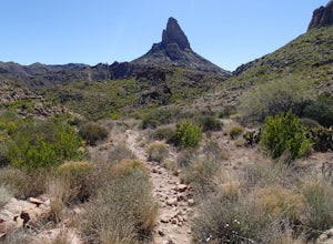
Weavers Needle Loop
5.012.37 mi / 2608 ft gainThis is a difficult hike! Plan on a lot of time and an early start. I did this hike in a clockwise direction (Peralta Trail) which really doesn't matter much but I recommend the direction to get the steepest part of the hike done first. Most people just do an out and back hike to Freemont Saddle ...Read more -
Gold Canyon, Arizona
Bluff Springs Loop
4.014.55 mi / 2523 ft gainFrom the Peralta Trailhead, start hiking on Bluff Springs Trail. This trail will wind over a few hills past incredible views, and then take you down into a wash. In the wash you will intersect with the Terrapin Trail. Turn left onto the Terrapin Trail, and it will take you out of the wash and pa...Read more -
Fountain Hills, Arizona
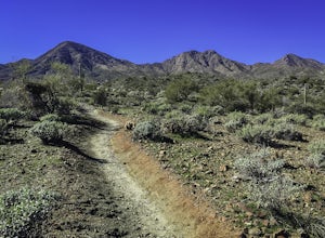
Hike the Dixie Mine Trail
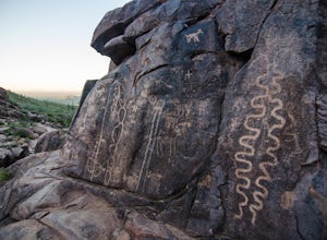
2.05.5 mi / 591 ft gainThe MineDixie mine was established in 1877, when mining scouts noticed the large amount of quartz in the area. The Dixie Mine was sold many times throughout the 20th Century and was ruled no longer efficient in 1977 when it was sold to the McDowell Mountain Regional Park. The PetroglyphsThe area ...Read more -
Scottsdale, Arizona
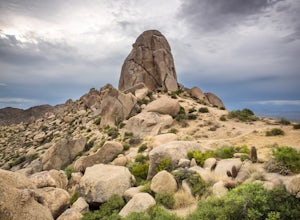
Tom's Thumb
4.33.98 mi / 1236 ft gainThe infamous “thumb” can be seen from most places in the valley – a white burst of rock jutting skyward out of the desert ridgeline. The new Tom’s Thumb Trailhead in 2012 has nice restrooms and offers tons of information about the surrounding rock climbing areas, day hikes and desert knowledg...Read more -
Scottsdale, Arizona
Boulder the Unknown Handcrack near Tom's Thumb
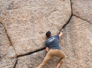
V-easy. 20 feet. Start on the Tom's Thumb Trail about .1 mi. Then take the Mesquite canyon trail left (SE) for .2mi. It will connect with the Feldspar trail. Turn left (E) and continue on until you see the climber access sign. Continue on the well marked trail towards the Girlie Man climbing area...Read more -
Scottsdale, Arizona
Climb Brusin' and Crusin' on Gardner's Wall
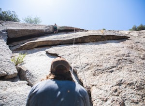
This is a 100 foot 5.8 trad climb. Access the Hanging Garden's climbing area off of the Tom's Thumb Trail. About half way up the trail you will see signage for "Rock Climbing Access Route." On the sign you will see an arrow pointing towards Gardner's Wall. This is the direction you want to take. ...Read more -
Scottsdale, Arizona
Climb Girlie Man Near Tom's Thumb
5.9+ 3 bolt slab. About 65ft. To get there you will start on the Tom's Thumb Trail for about .1 mi. Then take the Mesquite canyon trail left (SE) for .2mi. It will connect with the Feldspar trail. Turn left (E) and continue on until you see the climber access sign. Continue on the well marked tra...Read more -
Scottsdale, Arizona
Climb Hanging Garden's on Gardner's Wall
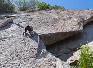
This is a 2 pitch 5.6 trad climb. About 130 feet in total. Access the Hanging Garden's climbing area off of the Tom's Thumb Trail. About half way up the trail you will see signage for "Rock Climbing Access Route." On the sign you will see an arrow pointing towards Gardner's Wall. This is the dire...Read more -
Scottsdale, Arizona
Climb Sphincter Boy Near Tom's Thumb
5.9 trad route. About 60ft. Can be set up as a Top Rope. To get there you will start on the Tom's Thumb Trail for about .1 mi. Then take the Mesquite canyon trail left (SE) for .2mi. It will connect with the Feldspar trail. Turn left (E) and continue on until you see the climber access sign. Cont...Read more -
Apache Junction, Arizona
Hike the Wind Cave Trail
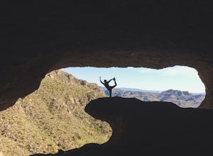
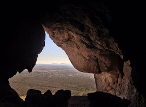
4.32.9 mi / 790 ft gainThis is a great trail for a run or for stretching your legs exploring the caves in Usery Mountain Regional Park. Keep in mind that the trail leads you up to the cave and is the end point. To get better views of the area, you'll have to climb up past the caves, where the trail is not marked.Read more -
Scottsdale, Arizona
Marcus Landslide Trail
5.03.77 mi / 561 ft gainNamed after a landslide that scientists say occurred over 500,000 years ago, this interpretive hiking trail in the McDowell Sonoran Preserve is a perfect easy outing for families and nature lovers alike. It begins from the Tom's Thumb trailhead (shared parking lot), which is another beautiful hi...Read more -
Gold Canyon, Arizona
Catch a Sunset at Three Sisters
5.0Three Sisters is a huge rock formation in the southern area of the Superstition Mountains. This spot is only about an hour outside of Phoenix and it's a great spot to do photography in the evening or morning.This is accessed from the Wave Cave parking lot on the way to the nearby Peralta Trailhe...Read more -
Gold Canyon, Arizona
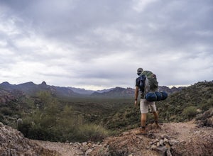
Superstition Peak 5057 via Carney Springs
5.07.71 mi / 2831 ft gainThis is the true beast hike of the Superstitions. If you think Flatiron is a toughy, give this a whirl! You will be poked, prodded, slapped, smacked, jolted, tripped and stabbed the entire way, but rewarded with arguably the finest sights the valley of the sun has to offer: the entire Superstitio...Read more -
Gold Canyon, Arizona
Wave Cave Trail
4.73 mi / 948 ft gainFrom the trail-head you will follow the old and wide dirt road for a while until you reach the wilderness fence line. It's easy to get lost. When you reach the fence there's an area to go through. It's difficult to see. Make sure you look closely. DO NOT follow the signs that say "trail". Once yo...Read more -
Apache Junction, Arizona
Monument Canyon and Broadway Cave
3.63.69 mi / 866 ft gain...Who doesn't enjoy a short adventure to an scenic location?! If I were to guess, I'd say a good majority of us. This four mile, low trafficked hike to the Broadway Cave will lead you to one of the best spots to hang out or watch the sunset. The Broadway trailhead is located by taking Highway 60...Read more -
Gold Canyon, Arizona
Hieroglyphic Trail
5.02.9 mi / 614 ft gainThis hike is a great beginner hike for those who want to experience the beauty of the Superstitions. I suggest going early in the morning because this trail gets very crowded later in the day (especially on weekends). To get to the trailhead from US60, turn north onto Kings Ranch Road where you ...Read more

