Superstition Mountains, Arizona
Looking for the best hiking in Superstition Mountains? We've got you covered with the top trails, trips, hiking, backpacking, camping and more around Superstition Mountains. The detailed guides, photos, and reviews are all submitted by the Outbound community.
Top Hiking Spots in and near Superstition Mountains
-
Rogers Trough Trailhead, Arizona
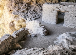
Hike Rogers Canyon Trail
5.08 mi / 1108 ft gainThe Superstition Wilderness is a vast rugged landscape where you can find the cultural remains of ancient Hohokam, Salado, Apache, and Yavapais tribes. Rogers Canyon Trail takes you to one of the most impressive and best preserved archaeological sites this region has to offer. These Salado ruin...Read more -
Gold Canyon, Arizona
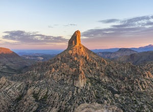
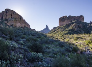
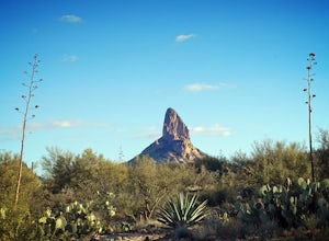
Weavers Needle
8.02 mi / 2602 ft gainLace up your boots, stock up your gear, bid farewell to civilization and head out to the wild. This adventure is not one for the faint of heart. It will scrape, snag, trip and stumble you. It will scare, taunt and tantalize you. You will need to earn this one, and it is more than worth the effort...Read more -
Gold Canyon, Arizona
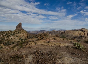
Fremont Saddle via Peralta Canyon Trail
4.74.53 mi / 1378 ft gainAfter taking Peralta Road all the way to the end, park your car in the parking lot and you'll see the sign for the trail head. Sign in at the register and then begin our hike on Peralta Trail. This trail winds through the canyon and then takes you up switch backs until you reach the saddle. The ...Read more -
Gold Canyon, Arizona
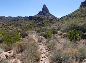
Weavers Needle Loop
5.012.37 mi / 2608 ft gainThis is a difficult hike! Plan on a lot of time and an early start. I did this hike in a clockwise direction (Peralta Trail) which really doesn't matter much but I recommend the direction to get the steepest part of the hike done first. Most people just do an out and back hike to Freemont Saddle ...Read more -
Gold Canyon, Arizona
Bluff Springs Loop
4.014.55 mi / 2523 ft gainFrom the Peralta Trailhead, start hiking on Bluff Springs Trail. This trail will wind over a few hills past incredible views, and then take you down into a wash. In the wash you will intersect with the Terrapin Trail. Turn left onto the Terrapin Trail, and it will take you out of the wash and pa...Read more -
Pinal County, Arizona
Photograph Elephant Arch
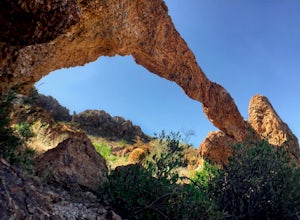
4.00.4 mi / 250 ft gain...For this very short stroll to Elephant Arch, I'd like to clarify that it's more of a sightseeing and/or photo opportunity trip than a hiking trip. It's so close that it can be seen from the side of the road. So just forewarning! Nonetheless, if you love natural wonders then it's a landmark you...Read more -
Gold Canyon, Arizona
Catch a Sunset at Three Sisters
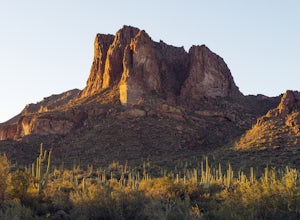
5.0Three Sisters is a huge rock formation in the southern area of the Superstition Mountains. This spot is only about an hour outside of Phoenix and it's a great spot to do photography in the evening or morning.This is accessed from the Wave Cave parking lot on the way to the nearby Peralta Trailhe...Read more -
Gold Canyon, Arizona
Superstition Peak 5057 via Carney Springs
5.07.71 mi / 2831 ft gainThis is the true beast hike of the Superstitions. If you think Flatiron is a toughy, give this a whirl! You will be poked, prodded, slapped, smacked, jolted, tripped and stabbed the entire way, but rewarded with arguably the finest sights the valley of the sun has to offer: the entire Superstitio...Read more -
Gold Canyon, Arizona
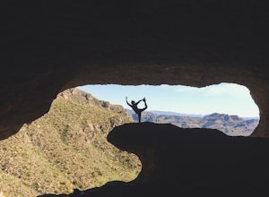
Wave Cave Trail
4.73 mi / 948 ft gainFrom the trail-head you will follow the old and wide dirt road for a while until you reach the wilderness fence line. It's easy to get lost. When you reach the fence there's an area to go through. It's difficult to see. Make sure you look closely. DO NOT follow the signs that say "trail". Once yo...Read more -
Apache Junction, Arizona
Hike the Boulder Canyon Trail
4.010 mi / 1500 ft gainParking for the trailhead is actually in the same lot as the marina. There is a restaurant, campground, and restrooms all in the vicinity of the parking lot. The actual trailhead is on the other side of the street opposite the parking lot entrance road. The hike begins an uphill climb. In a c...Read more -
Apache Junction, Arizona
Hike the Dutchman's Second Canyon Loop
5.016 miTo get to the trail head, drive past Lost Dutchman State Park on the 88 and then take the dirt road (on your right) with arrows leading you to First Water Trail Head. There is an outhouse at the trailhead, so I suggest visiting it before you begin this hike. I also started this hike about an ho...Read more -
Apache Junction, Arizona
Hike Black Mesa Loop
4.59 miFrom First Water Trailhead, a short walk east brings you to the junction of the Dutchman trail and the Second Water trail. If you follow the Dutchman trail to the right you'll be heading southeast for a while, catching glimpses of Weaver's Needle in the distance. You can complete the loop going...Read more -
Apache Junction, Arizona
White Rock Springs Camp Loop via First Water Trailhead
4.724.18 mi / 3635 ft gainThe Superstition Wilderness is a stunning 160,200 acre area outside Apache Junction, AZ, with over 170 miles of (variously maintained) trail networks. There are any number of trips you can design to fit your time and skill level. This adventure offers a three day/ two night backpacking trip cover...Read more -
Apache Junction, Arizona
Hike Battleship Mountain
5.011.5 mi / 443 ft gainBattleship Mountain is nestled within the Superstition Mountains, surrounded by dramatic peaks and desert landscapes. The hike itself is beautiful, and the views once on top of Battleship Mountain are exceptional. The diversity and uniqueness of geological formations in the mountains surrounding ...Read more -
Maricopa County, Arizona
Second Water To Boulder Canyon Camp
9.12 mi / 951 ft gainSecond Water To Boulder Canyon Camp is an out-and-back trail where you may see beautiful wildflowers located near Tortilla Flat, Arizona.Read more -
Gold Canyon, Arizona
Hieroglyphic Trail
5.02.9 mi / 614 ft gainThis hike is a great beginner hike for those who want to experience the beauty of the Superstitions. I suggest going early in the morning because this trail gets very crowded later in the day (especially on weekends). To get to the trailhead from US60, turn north onto Kings Ranch Road where you ...Read more

