Saguaro National Park, Arizona
Looking for the best hiking in Saguaro National Park? We've got you covered with the top trails, trips, hiking, backpacking, camping and more around Saguaro National Park. The detailed guides, photos, and reviews are all submitted by the Outbound community.
Top Hiking Spots in and near Saguaro National Park
-
3693 South Old Spanish Trail, Arizona
Drive the Scenic Loop in Saguaro National Park East (Cactus Forest)
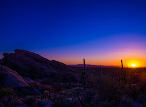
4.58 miThe Cactus Forest scenic drive is one of two scenic drives in Saguaro National Park (the other is in the West district location). The drive in Saguaro National Park East is a paved eight-mile one way loop that runs through the heart of an extensive saguaro forest. If you’re lucky enough to visi...Read more -
Tucson, Arizona
Camp at Molino Basin
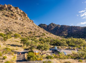
0 mi / 0 ft gainMolino Basin Campground is the only campground of the Catalina District of the Forest Service to be open year round due to its lower elevation at only 4500'. Its position along the Mount Lemmon Highway makes Molino Basin a perfect basecamp for further adventures in the Santa Catalina Mountains, a...Read more -
Picacho, Arizona
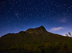
Hike Picacho Peak's Hunter Trail
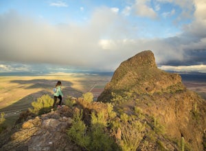
5.04 mi / 1400 ft gainIf you've ever done the drive on highway10 from Phoenix to Tucson, you've definitely noticed an intriguing looking mountain peak about an hour into the drive. It broadly rises from the earth and tapers off into a point at the top, appearing like an illustration straight out of a Dr. Seuss book. ...Read more -
Tucson, Arizona
Hike to Javelina Rock
5.07 mi / 400 ft gainDrive through the gate of Saguaro National Park and continue straight onto Cactus Forest Drive. The 8 Mile loop takes you around to Javelina Rock parking area. Take time to enjoy this drive, it offers great views of the park and opportunities to spot coyotes and other wildlife.About 7 miles into ...Read more -
Picacho, Arizona
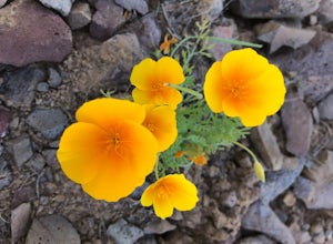
Photograph the Wildflowers at Picacho Peak State Park
4.0If Arizona is lucky enough to have a rainy winter, we will most certainly have a beautiful bloom come spring. One of the best places to see the beautiful golden blooms is on a hike in Picacho Peak State Park. Blooming season typically begins in mid/late February. Length depends on temperature –...Read more -
Campground Loop B, Arizona
Camp at Picacho Peak State Park
3.1 mi / 800 ft gainDrive about 30 minutes west on I-10 from Tucson, AZ to the Picacho Peak Rd. Exit and follow the signs south to the park entrance. The campgrounds are about a half mile inside the main gate to the right.You can either make a reservation at Pichacho Peak State Park or arrive the day of and pay. Eve...Read more -
Mount Lemmon, Arizona
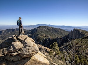
Hike Incinerator Ridge to Leopold Point
5.03.2 mi / 800 ft gainStarting out at San Pedro Vista Trailhead, located just off the shoulder of the Catalina Highway, this trail follows along the ridgeline, drops to a small saddle, and terminates at a gorgeous vista: Leopold Point. There is only 1 sign that you will come across that actually designates it as Incin...Read more -
Tucson, Arizona
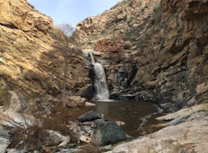
Tanque Verde Falls
4.21.93 mi / 430 ft gainThis hike starts at the Lower Tanque Verde Falls Trailhead, which is a well marked dirt lot on the left side of Reddington Road. A 4x4 would probably make the last half mile or so easier when the road turns to dirt but I made it to the trailhead in a Toyota Carolla without any trouble, so don't l...Read more -
Sells, Arizona
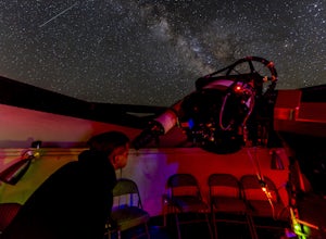
Visit the Kitt Peak National Observatory
5.00.5 mi / 100 ft gainKitt Peak National Observatory (KPNO) is home to the most diverse collection of astronomical observatories on Earth for nighttime optical and infrared astronomy and daytime study of our sun. With 26 telescopes on the premises and partnerships with world-leading institutions such as the Massachuse...Read more -
Sonoita, Arizona
Hike to Hutch's Pool
5.07.8 mi / 647 ft gainStart at the Sabino Canyon trailhead - you can either walk up the dirt road (which adds about 4 miles) or take the $10 tram from the Visitor Center and hop off at the last stop #9. From there you hike 2.5 miles into Sabino Canyon into the basin (beautiful views of the canyon all the way there). O...Read more

