Pinal County, Arizona
Top Spots in and near Pinal County
-
Mount Lemmon, Arizona
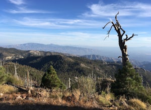
Hike Mint Springs Trail
5 mi / 2000 ft gainThis hike begins in the town of Summerhaven in Mount Lemmon, Tuscon AZ. This is after about an hour long drive up a 25 mile paved, winding road. Any car can access this trail-head easily. Once you reach Summerhaven, drive up Carter Canyon Rd. Park at the end of the road. Do not enter any private ...Read more -
Tucson, Arizona
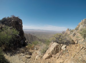
Summit Wasson Peak
5.07.4 miThis hike starts at the King Canyon Trailhead. You'll follow the King Canyon Trail along the wash then down into the wash near the picnic area. You won't be in the wash for long before the trail will turn off to the right out of the wash. This trail is very well signed. You'll continue along King...Read more -
Gold Canyon, Arizona
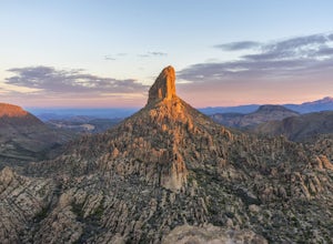
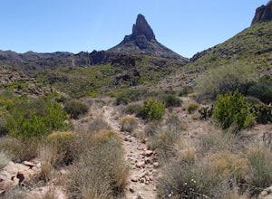
Weavers Needle
8.02 mi / 2602 ft gainLace up your boots, stock up your gear, bid farewell to civilization and head out to the wild. This adventure is not one for the faint of heart. It will scrape, snag, trip and stumble you. It will scare, taunt and tantalize you. You will need to earn this one, and it is more than worth the effort...Read more -
Gold Canyon, Arizona
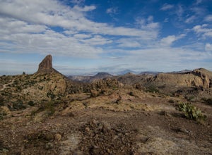
Fremont Saddle via Peralta Canyon Trail
4.74.53 mi / 1378 ft gainAfter taking Peralta Road all the way to the end, park your car in the parking lot and you'll see the sign for the trail head. Sign in at the register and then begin our hike on Peralta Trail. This trail winds through the canyon and then takes you up switch backs until you reach the saddle. The ...Read more -
Gold Canyon, Arizona
Weavers Needle Loop
5.012.37 mi / 2608 ft gainThis is a difficult hike! Plan on a lot of time and an early start. I did this hike in a clockwise direction (Peralta Trail) which really doesn't matter much but I recommend the direction to get the steepest part of the hike done first. Most people just do an out and back hike to Freemont Saddle ...Read more -
Gold Canyon, Arizona
Bluff Springs Loop
4.014.55 mi / 2523 ft gainFrom the Peralta Trailhead, start hiking on Bluff Springs Trail. This trail will wind over a few hills past incredible views, and then take you down into a wash. In the wash you will intersect with the Terrapin Trail. Turn left onto the Terrapin Trail, and it will take you out of the wash and pa...Read more -
Gold Canyon, Arizona
Peak 5057 via Hieroglyphic Trail
5.07.45 mi / 3045 ft gainTo get to the trailhead from US60, turn north onto Kings Ranch Road where you will begin the winding path through the neighborhoods. From Kings Ranch Road, turn east on Baseline Ave, north on Mohican Road, west on Valley View Drive, north on Whitetail Road, and east on Cloudview Ave until it com...Read more -
Gold Canyon, Arizona
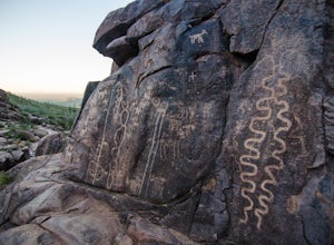
Hieroglyphic Trail
5.02.9 mi / 614 ft gainThis hike is a great beginner hike for those who want to experience the beauty of the Superstitions. I suggest going early in the morning because this trail gets very crowded later in the day (especially on weekends). To get to the trailhead from US60, turn north onto Kings Ranch Road where you ...Read more -
Tucson, Arizona
Hike the Brown Mountain Trail
4.04.2 mi / 500 ft gainI really enjoyed this hike. I recommend doing the hike as an out and back from the Kinney Road parking area. Also, the best time to hike is just before sunset. The hike is just over 4 miles total out and back with only about 500 feet of elevation gain. It has a climb at the beginning then rolls a...Read more -
Winkelman, Arizona
Hike Aravaipa Canyon
5.08 mi / 200 ft gainWelcome to the beauty of wilderness and serenity! Within the boundaries of Aravaipa Canyon, you will not find any designated trails, campsites, or facilities. This canyon is one of Arizona’s hidden gems, and it is not mentioned in many travel books or in international travel magazines – yet. ...Read more -
Tucson, Arizona
Catch The Sunset on Gates Pass
4.0Get on E Speedway Blvd, and follow it West until it turns into W Gates Pass rd. Follow this for 3 miles and the parking lot will be at the top of the pass. There are a few viewing platforms that offer shade from the desert heat. There are numerous trails that you can follow to get whatever view y...Read more -
Rogers Trough Trailhead, Arizona
Hike Rogers Canyon Trail
5.08 mi / 1108 ft gainThe Superstition Wilderness is a vast rugged landscape where you can find the cultural remains of ancient Hohokam, Salado, Apache, and Yavapais tribes. Rogers Canyon Trail takes you to one of the most impressive and best preserved archaeological sites this region has to offer. These Salado ruin...Read more -
Apache Junction, Arizona
Monument Canyon and Broadway Cave
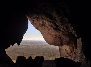
3.63.69 mi / 866 ft gain...Who doesn't enjoy a short adventure to an scenic location?! If I were to guess, I'd say a good majority of us. This four mile, low trafficked hike to the Broadway Cave will lead you to one of the best spots to hang out or watch the sunset. The Broadway trailhead is located by taking Highway 60...Read more -
Tucson, Arizona
Hike to the Bowen Stone House via Bowen Trail
2.4 mi / 300 ft gainThe Tucson Mountains are home to Saguaro National Park and the Tucson Mountain Park, the latter of which is a massive 20,000 acre park that is home to huge forests of giant saguaro cacti, a wide diversity of desert wildlife, and several long-abandoned farms and ranches like the Bowen Homestead, c...Read more -
Tucson, Arizona
Hike Tumamoc Hill
5.03 mi / 800 ft gainTumamoc Hill is urban adventuring at it's finest. Park on Anklam Road, directly across from St Mary's Hospital, and follow the other hikers and runners to the trailhead.Tumamoc Hill is a one-lane paved road, trafficked infrequently by University of Arizona employees who work on the Hill's ecology...Read more -
Catalina Foothills, Arizona
Hike the Sabino Canyon Trail
4.7This popular trail is a paved road that crosses 9 stone bridges over Sabino Creek. The creek itself is pretty dry most of the year, but after a rain it's a wonderful place to cool off and escape from the merciless desert heat. Hikers, cyclists and equestrians alike share and enjoy the trail. Ther...Read more

