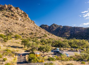
Pinal County, Arizona
Looking for the best running in Pinal County? We've got you covered with the top trails, trips, hiking, backpacking, camping and more around Pinal County. The detailed guides, photos, and reviews are all submitted by the Outbound community.
Top Running Spots in and near Pinal County
-
Queen Creek, Arizona
Hike the Dynamite and Goldmine Loop
5.04.7 mi / 773 ft gainThis trail is a moderately-rated hike. It is used for a variety of activities including hiking, mountain biking, running, and walking. To access the trail, it is important to note that there is a $7 cash parking fee, so be prepared! The beginning of the trail is the most challenging part as it ...Read more -
Tucson, Arizona
Hike to the Bowen Stone House via Bowen Trail
2.4 mi / 300 ft gainThe Tucson Mountains are home to Saguaro National Park and the Tucson Mountain Park, the latter of which is a massive 20,000 acre park that is home to huge forests of giant saguaro cacti, a wide diversity of desert wildlife, and several long-abandoned farms and ranches like the Bowen Homestead, c...Read more -
Tucson, Arizona
Hike Tumamoc Hill
5.03 mi / 800 ft gainTumamoc Hill is urban adventuring at it's finest. Park on Anklam Road, directly across from St Mary's Hospital, and follow the other hikers and runners to the trailhead.Tumamoc Hill is a one-lane paved road, trafficked infrequently by University of Arizona employees who work on the Hill's ecology...Read more -
Tucson, Arizona
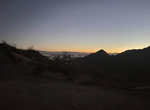
Catch a Sunset on "A" Mountain
4.00.3 mi / 250 ft gainIn 1910 a group of University of Arizona students took local basalt rock and constructed a 160' block "A" on the east face of Sentinel Peak overlooking Tucson, giving the prominent peak its most commonly known name. Now the area is part of the 272 acre Sentinel Peak Park, and features a great net...Read more -
Apache Junction, Arizona
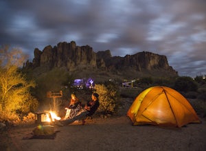
Camp at Lost Dutchman State Park
4.8Lost Dutchman State Park is located near the Superstition Mountains in central Phoenix, about 40 miles from Phoenix. There is a $7 day use fee to enter the park, which is waived if you’re camping ($15/night). The park offers 134 campsites, each with a picnic table, barbeque grill, and fire pit, a...Read more -
Tucson, Arizona
Bike The Loop at The Santa Cruz River Park
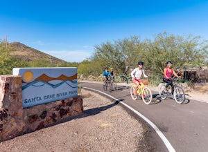
22 mi / 500 ft gainThe Loop is an in-development series of shared-use, hard-surface paths meant to connect all of Tucson by following the Santa Cruz River and its major tributaries. The Santa Cruz River Park contains 22 miles of The Loop (with another 40 in development) that runs along the western shore of the Sant...Read more -
Apache Junction, Arizona
Treasure Loop via Jacob's Crosscut Trail
3.78 mi / 620 ft gainStarting Treasure Loop from Jacob's Crosscut offers a slight variation on Treasure Loop as well as ~1.5 miles if you're looking for a little extra distance. This trail is dog friendly on-leash and is used by hikers and runners.Read more -
Apache Junction, Arizona
Hike the Dutchman's Second Canyon Loop
5.016 miTo get to the trail head, drive past Lost Dutchman State Park on the 88 and then take the dirt road (on your right) with arrows leading you to First Water Trail Head. There is an outhouse at the trailhead, so I suggest visiting it before you begin this hike. I also started this hike about an ho...Read more -
Apache Junction, Arizona
Hike Black Mesa Loop
4.59 miFrom First Water Trailhead, a short walk east brings you to the junction of the Dutchman trail and the Second Water trail. If you follow the Dutchman trail to the right you'll be heading southeast for a while, catching glimpses of Weaver's Needle in the distance. You can complete the loop going...Read more -
Tucson, Arizona
Camp at Molino Basin
0 mi / 0 ft gainMolino Basin Campground is the only campground of the Catalina District of the Forest Service to be open year round due to its lower elevation at only 4500'. Its position along the Mount Lemmon Highway makes Molino Basin a perfect basecamp for further adventures in the Santa Catalina Mountains, a...Read more

